2415 Bruer Lake Rd Unit R4D New Athens, IL 62264
Estimated Value: $169,000 - $173,000
--
Bed
--
Bath
1,144
Sq Ft
$150/Sq Ft
Est. Value
About This Home
This home is located at 2415 Bruer Lake Rd Unit R4D, New Athens, IL 62264 and is currently estimated at $171,038, approximately $149 per square foot. 2415 Bruer Lake Rd Unit R4D is a home located in St. Clair County with nearby schools including New Athens Elementary School and New Athens High School.
Ownership History
Date
Name
Owned For
Owner Type
Purchase Details
Closed on
Jan 3, 2009
Sold by
Miller Irwin and Miller Darlene
Bought by
Miller Jeffrey
Current Estimated Value
Create a Home Valuation Report for This Property
The Home Valuation Report is an in-depth analysis detailing your home's value as well as a comparison with similar homes in the area
Home Values in the Area
Average Home Value in this Area
Purchase History
| Date | Buyer | Sale Price | Title Company |
|---|---|---|---|
| Miller Jeffrey | -- | None Available |
Source: Public Records
Tax History Compared to Growth
Tax History
| Year | Tax Paid | Tax Assessment Tax Assessment Total Assessment is a certain percentage of the fair market value that is determined by local assessors to be the total taxable value of land and additions on the property. | Land | Improvement |
|---|---|---|---|---|
| 2024 | $2,177 | $36,475 | $4,032 | $32,443 |
| 2023 | $2,005 | $34,021 | $3,632 | $30,389 |
| 2022 | $1,959 | $31,403 | $3,247 | $28,156 |
| 2021 | $1,871 | $29,497 | $2,922 | $26,575 |
| 2020 | $1,526 | $23,832 | $2,734 | $21,098 |
| 2019 | $1,424 | $23,586 | $2,488 | $21,098 |
| 2018 | $1,330 | $22,332 | $2,239 | $20,093 |
| 2017 | $1,311 | $21,726 | $2,049 | $19,677 |
| 2016 | $1,345 | $22,345 | $1,908 | $20,437 |
| 2014 | $1,205 | $21,848 | $1,665 | $20,183 |
| 2013 | $913 | $22,785 | $1,689 | $21,096 |
Source: Public Records
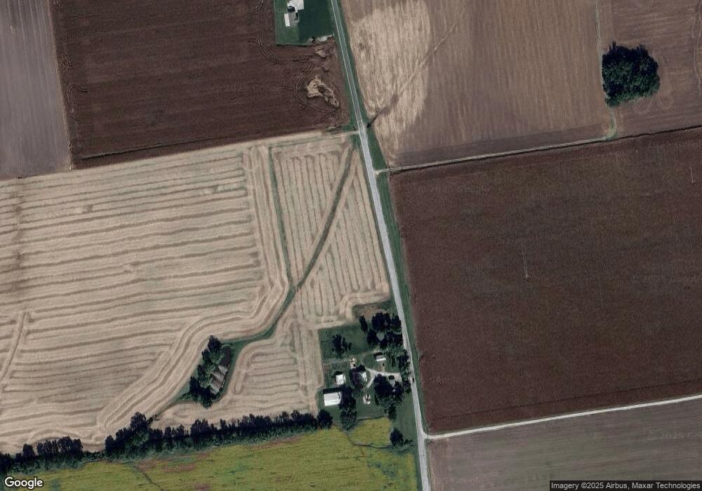
Map
Nearby Homes
- 6970 State Route 156
- 2622 Kaiser Rd
- 9037 Range Dr
- 2230 Kaiser Rd
- 405 S Market St
- 501 S Clinton St
- 213 N Van Buren St
- 402 S East St
- 201 S Jackson St
- 105 N Market St
- 2805 Scenic Lake Dr
- 2812 Scenic Lake Dr
- 300 Freedom Dr
- Lot 2 E Back St
- Lot 1 E Back St
- 5451 Club Congress Rd
- 0 Five Forks Rd
- 5148 Live Oak Dr
- 0 Unknown Unit 22065045
- 4057 Bur Oak Dr
- 2411 Bruer Lake Rd Unit R4D
- 9573 Nike Rd
- 2547 Bruer Lake Rd
- 9548 Nike Rd
- 2342 Bruer Lake Rd
- 6867 Mueller Rd
- 9562 Nike Dr
- 2431 Deer Run Rd
- 9452 Nike Rd
- 9628 Nike Dr
- 2443 Deer Run Rd
- 2455 Deer Run Rd
- 9381 Nike Rd
- 2406 Deer Run Rd
- 9357 Nike Rd
- 2700 Bruer Lake Rd
- 9688 Nike Dr
- 2444 Doe Ln
- 6130 Hay Ln
- 9308 Nike Rd