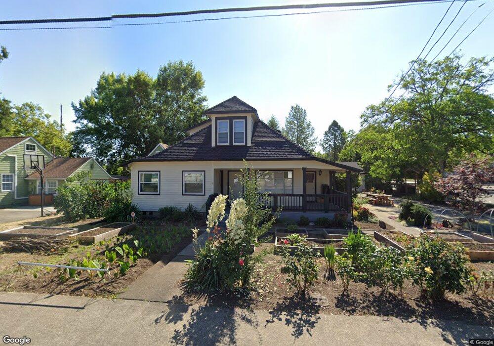
2415 Main St Forest Grove, OR 97116
Estimated Value: $517,000 - $621,711
4
Beds
3
Baths
2,742
Sq Ft
$211/Sq Ft
Est. Value
About This Home
This home is located at 2415 Main St, Forest Grove, OR 97116 and is currently estimated at $577,237, approximately $210 per square foot. 2415 Main St is a home located in Washington County with nearby schools including Harvey Clarke Elementary School, Tom McCall Upper Elementary School, and Neil Armstrong Middle School.
Ownership History
Date
Name
Owned For
Owner Type
Purchase Details
Closed on
Jan 28, 2015
Sold by
Seitz Seitz Brian D Brian D
Bought by
Oak Tree Foundation Inc
Current Estimated Value
Purchase Details
Closed on
May 25, 2006
Sold by
Seitz Cameron D and Seitz Toni D
Bought by
Seitz Cameron D and Seitz Toni D
Home Financials for this Owner
Home Financials are based on the most recent Mortgage that was taken out on this home.
Original Mortgage
$120,000
Interest Rate
6.52%
Mortgage Type
Fannie Mae Freddie Mac
Create a Home Valuation Report for This Property
The Home Valuation Report is an in-depth analysis detailing your home's value as well as a comparison with similar homes in the area
Home Values in the Area
Average Home Value in this Area
Purchase History
| Date | Buyer | Sale Price | Title Company |
|---|---|---|---|
| Oak Tree Foundation Inc | $250,000 | First American | |
| Seitz Cameron D | -- | First American Title Insuran |
Source: Public Records
Mortgage History
| Date | Status | Borrower | Loan Amount |
|---|---|---|---|
| Previous Owner | Seitz Cameron D | $120,000 |
Source: Public Records
Tax History Compared to Growth
Tax History
| Year | Tax Paid | Tax Assessment Tax Assessment Total Assessment is a certain percentage of the fair market value that is determined by local assessors to be the total taxable value of land and additions on the property. | Land | Improvement |
|---|---|---|---|---|
| 2026 | -- | -- | -- | -- |
| 2025 | -- | -- | -- | -- |
| 2024 | -- | -- | -- | -- |
| 2023 | $0 | $0 | $0 | $0 |
| 2022 | $0 | $0 | $0 | $0 |
| 2021 | $0 | $0 | $0 | $0 |
| 2020 | $0 | $0 | $0 | $0 |
| 2019 | $0 | $0 | $0 | $0 |
| 2018 | $0 | $0 | $0 | $0 |
| 2017 | $0 | $0 | $0 | $0 |
| 2016 | $0 | $0 | $0 | $0 |
| 2015 | $3,899 | $0 | $0 | $0 |
| 2014 | $3,899 | $217,170 | $0 | $0 |
Source: Public Records
Map
Nearby Homes
- 904 Rosebud Ct
- Alder Plan at Parkview Terrace - Single-Family Homes
- Mattingly Plan at Parkview Terrace - Single-Family Homes
- Arleta Plan at Parkview Terrace - Paired Villas
- Moreland Plan at Parkview Terrace - Paired Villas
- Eason Plan at Parkview Terrace - Single-Family Homes
- Marivue Plan at Parkview Terrace - Paired Villas
- Albin Plan at Parkview Terrace - Single-Family Homes
- 916 Rosebud Ct
- Caden Plan at Parkview Terrace - Single-Family Homes
- 803 Misty Ln
- 801 Misty Ln
- 926 Rosebud Ct
- 807 Misty Ln
- Beekman Plan at Parkview Terrace - Single-Family Homes
- 2327 Turnbull Ct
- 2341 Turnbull Ct
- 1718 23rd Ave
- 2106 Charlie Ct
- 2251 27th Ave