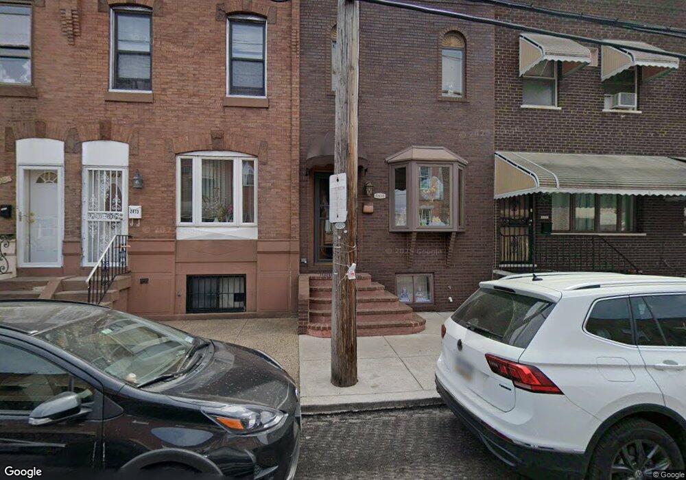
2415 S 10th St Philadelphia, PA 19148
South Philadelphia East NeighborhoodEstimated Value: $210,000 - $295,000
3
Beds
1
Bath
1,070
Sq Ft
$237/Sq Ft
Est. Value
About This Home
This home is located at 2415 S 10th St, Philadelphia, PA 19148 and is currently estimated at $253,719, approximately $237 per square foot. 2415 S 10th St is a home located in Philadelphia County with nearby schools including South Philadelphia High School, Fell D Newlin School, and Our Lady of Hope.
Ownership History
Date
Name
Owned For
Owner Type
Purchase Details
Closed on
Nov 23, 2009
Sold by
Sabelli Angela Console
Bought by
Console Angela and Sabelli Angela Console
Current Estimated Value
Home Financials for this Owner
Home Financials are based on the most recent Mortgage that was taken out on this home.
Original Mortgage
$75,000
Interest Rate
5.01%
Mortgage Type
New Conventional
Create a Home Valuation Report for This Property
The Home Valuation Report is an in-depth analysis detailing your home's value as well as a comparison with similar homes in the area
Home Values in the Area
Average Home Value in this Area
Purchase History
| Date | Buyer | Sale Price | Title Company |
|---|---|---|---|
| Console Angela | -- | None Available |
Source: Public Records
Mortgage History
| Date | Status | Borrower | Loan Amount |
|---|---|---|---|
| Closed | Console Angela | $75,000 |
Source: Public Records
Tax History Compared to Growth
Tax History
| Year | Tax Paid | Tax Assessment Tax Assessment Total Assessment is a certain percentage of the fair market value that is determined by local assessors to be the total taxable value of land and additions on the property. | Land | Improvement |
|---|---|---|---|---|
| 2025 | $3,173 | $263,400 | $52,680 | $210,720 |
| 2024 | $3,173 | $263,400 | $52,680 | $210,720 |
| 2023 | $3,173 | $226,700 | $45,340 | $181,360 |
| 2022 | $1,869 | $181,700 | $45,340 | $136,360 |
| 2021 | $2,499 | $0 | $0 | $0 |
| 2020 | $2,499 | $0 | $0 | $0 |
| 2019 | $2,305 | $0 | $0 | $0 |
| 2018 | $1,226 | $0 | $0 | $0 |
| 2017 | $1,646 | $0 | $0 | $0 |
| 2016 | $1,226 | $0 | $0 | $0 |
| 2015 | $1,225 | $0 | $0 | $0 |
| 2014 | -- | $121,400 | $14,181 | $107,219 |
| 2012 | -- | $15,424 | $2,033 | $13,391 |
Source: Public Records
Map
Nearby Homes
- 2406 S Percy St
- 2441 S Hutchinson St
- 2421 S Percy St
- 2407 S Warnock St
- 1029 W Ritner St
- 2320 S 10th St
- 2324 S Alder St
- 840 W Ritner St
- 2312 S Hutchinson St
- 2316 S Alder St
- 2408 S Darien St
- 1106 W Moyamensing Ave
- 829 W Porter St
- 2544 S 10th St
- 2545 S Warnock St
- 2555 S Warnock St
- 802 W Ritner St
- 1115 Durfor St
- 2428 S Sartain St
- 2436 S Sartain St
- 2413 S 10th St
- 2417 S 10th St
- 2411 S 10th St
- 2419 S 10th St
- 2409 S 10th St
- 2421 S 10th St
- 2414 S Hutchinson St
- 2418 S Hutchinson St
- 2423 S 10th St
- 2407 S 10th St
- 2416 S Hutchinson St
- 2410 S Hutchinson St
- 2420 S Hutchinson St
- 2422 S Hutchinson St
- 2405 S 10th St
- 2425 S 10th St
- 2408 S Hutchinson St
- 2406 S Hutchinson St
- 2424 S Hutchinson St
- 2403 S 10th St