24160 Smith Ridge Middleton, ID 83644
Estimated Value: $702,000 - $872,000
3
Beds
2
Baths
2,205
Sq Ft
$354/Sq Ft
Est. Value
About This Home
This home is located at 24160 Smith Ridge, Middleton, ID 83644 and is currently estimated at $779,899, approximately $353 per square foot. 24160 Smith Ridge is a home located in Canyon County with nearby schools including Middleton Heights Elementary School, Middleton Middle School, and Middleton High School.
Ownership History
Date
Name
Owned For
Owner Type
Purchase Details
Closed on
Apr 19, 2005
Sold by
Todd Roger Lynn
Bought by
Todd Roger Lynn and Todd Leslie Lynn
Current Estimated Value
Purchase Details
Closed on
May 20, 2004
Sold by
Todd Leslie
Bought by
Todd Roger
Home Financials for this Owner
Home Financials are based on the most recent Mortgage that was taken out on this home.
Original Mortgage
$207,000
Interest Rate
5.92%
Mortgage Type
Purchase Money Mortgage
Create a Home Valuation Report for This Property
The Home Valuation Report is an in-depth analysis detailing your home's value as well as a comparison with similar homes in the area
Home Values in the Area
Average Home Value in this Area
Purchase History
| Date | Buyer | Sale Price | Title Company |
|---|---|---|---|
| Todd Roger Lynn | -- | -- | |
| Todd Roger | -- | Pioneer Title Company Of Can | |
| Todd Roger | -- | Pioneer Title Company Of Can |
Source: Public Records
Mortgage History
| Date | Status | Borrower | Loan Amount |
|---|---|---|---|
| Previous Owner | Todd Roger | $207,000 |
Source: Public Records
Tax History Compared to Growth
Tax History
| Year | Tax Paid | Tax Assessment Tax Assessment Total Assessment is a certain percentage of the fair market value that is determined by local assessors to be the total taxable value of land and additions on the property. | Land | Improvement |
|---|---|---|---|---|
| 2025 | $1,799 | $641,730 | $228,830 | $412,900 |
| 2024 | $1,799 | $591,520 | $209,420 | $382,100 |
| 2023 | $1,758 | $595,460 | $210,060 | $385,400 |
| 2022 | $2,435 | $661,580 | $229,780 | $431,800 |
| 2021 | $2,663 | $478,780 | $129,080 | $349,700 |
| 2020 | $2,858 | $399,510 | $103,610 | $295,900 |
| 2019 | $3,042 | $374,780 | $83,680 | $291,100 |
| 2018 | $2,535 | $0 | $0 | $0 |
| 2017 | $2,312 | $0 | $0 | $0 |
| 2016 | $2,028 | $0 | $0 | $0 |
| 2015 | $1,916 | $0 | $0 | $0 |
| 2014 | $1,780 | $219,080 | $49,980 | $169,100 |
Source: Public Records
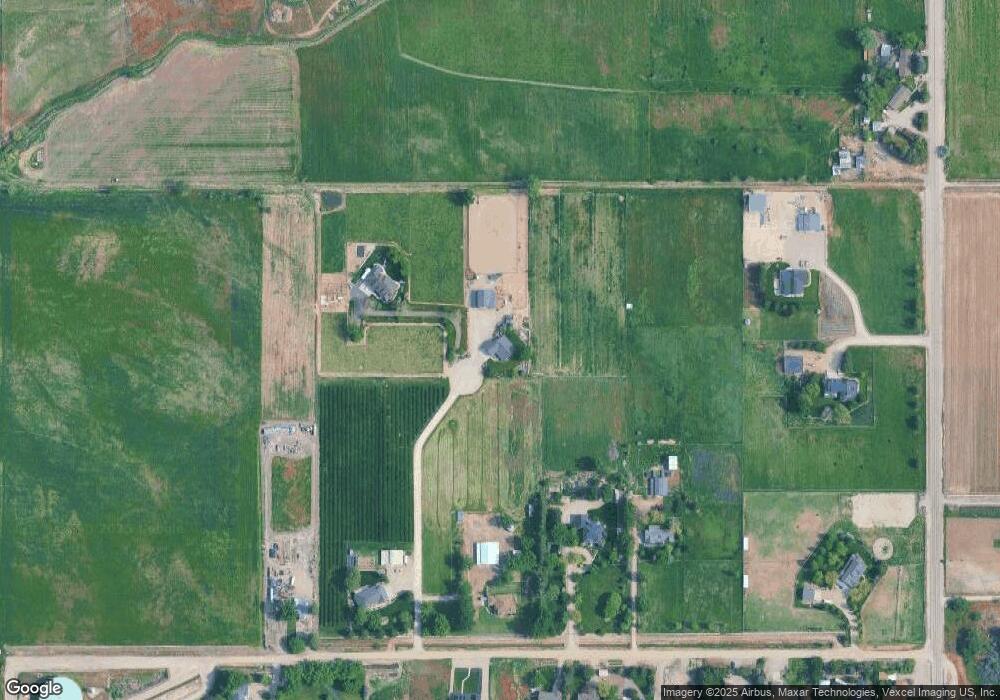
Map
Nearby Homes
- 10167 Willis Rd
- 10395 Willis Rd
- 1378 Silver Valley St
- 1402 Silver Valley St
- 1402 Silver Valley Ct
- 1378 Silver Valley Ct
- 1746 Webb Brook St
- 1774 Webb Brook St
- 1717 Webb Brook St
- 1739 Webb Brook St
- 1792 Webb Brook St
- 1107 Webb Brook St
- 1720 Webb Brook St
- 1080 Ellis River Ave
- Cirrus 1448 Plan at Kestrel Estates
- Bennett 1694 Plan at Kestrel Estates
- 1120 Woods Bog Ave
- 1120 Woods Bog Ct
- 1084 Woods Bog Ct
- 1108 Woods Bog Ave
- 24151 Smith Ridge
- 10198 Willis Rd
- 10220 Willis Rd
- 10164 Willis Rd
- 24017 Smith Ridge
- TBD Lansing Lane - Parcel 2
- 24183 Duff Ln
- 10338 Willis Rd
- 24161 Duff Ln
- 10201 Willis Rd
- 10181 Willis Rd
- 10048 Willis Rd
- 10241 Willis Rd
- 10145 Willis Rd
- 10327 Willis Rd
- 10109 Willis Rd
- 24295 Duff Ln
- 10087 Willis Rd
- 10253 Willis Rd
- 10261 Turner Dr