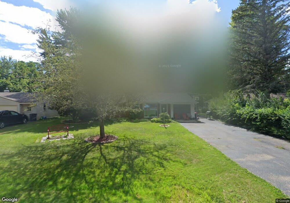
2417 Empire Dr West Bloomfield, MI 48324
Estimated Value: $249,000 - $293,000
3
Beds
2
Baths
1,618
Sq Ft
$166/Sq Ft
Est. Value
About This Home
This home is located at 2417 Empire Dr, West Bloomfield, MI 48324 and is currently estimated at $268,748, approximately $166 per square foot. 2417 Empire Dr is a home located in Oakland County with nearby schools including Walt Whitman Elementary School, Pontiac Middle School, and Pontiac High School.
Ownership History
Date
Name
Owned For
Owner Type
Purchase Details
Closed on
Oct 23, 2009
Sold by
Cornerstone Community Financial Federal
Bought by
Scott Dana
Current Estimated Value
Purchase Details
Closed on
Nov 18, 2008
Sold by
Dib Tony V
Bought by
Cornerstone Community Financial Federal
Purchase Details
Closed on
Nov 4, 2008
Sold by
Dib Tony V
Bought by
Cornerstone Community Financial Federal
Purchase Details
Closed on
Jul 16, 1999
Sold by
Makki Linda
Bought by
Dib Tony V
Purchase Details
Closed on
Mar 26, 1998
Sold by
Elton Nancy E
Bought by
Makki Linda
Home Financials for this Owner
Home Financials are based on the most recent Mortgage that was taken out on this home.
Original Mortgage
$86,000
Interest Rate
7.19%
Create a Home Valuation Report for This Property
The Home Valuation Report is an in-depth analysis detailing your home's value as well as a comparison with similar homes in the area
Home Values in the Area
Average Home Value in this Area
Purchase History
| Date | Buyer | Sale Price | Title Company |
|---|---|---|---|
| Scott Dana | $71,000 | None Available | |
| Cornerstone Community Financial Federal | $21,326 | None Available | |
| Cornerstone Community Financial Federal | $163,797 | None Available | |
| Dib Tony V | $155,900 | -- | |
| Makki Linda | $126,000 | -- |
Source: Public Records
Mortgage History
| Date | Status | Borrower | Loan Amount |
|---|---|---|---|
| Previous Owner | Makki Linda | $86,000 |
Source: Public Records
Tax History Compared to Growth
Tax History
| Year | Tax Paid | Tax Assessment Tax Assessment Total Assessment is a certain percentage of the fair market value that is determined by local assessors to be the total taxable value of land and additions on the property. | Land | Improvement |
|---|---|---|---|---|
| 2024 | $1,290 | $108,450 | $0 | $0 |
| 2022 | $1,177 | $93,350 | $24,700 | $68,650 |
| 2021 | $1,724 | $83,900 | $0 | $0 |
| 2020 | $1,019 | $77,630 | $24,700 | $52,930 |
| 2018 | $1,491 | $65,880 | $17,900 | $47,980 |
| 2015 | -- | $51,850 | $0 | $0 |
| 2014 | -- | $47,920 | $0 | $0 |
| 2011 | -- | $54,360 | $0 | $0 |
Source: Public Records
Map
Nearby Homes
- 2314 Middlebelt Rd
- 2630 Depew Dr
- 2230 Middlebelt Rd
- 2216 Middlebelt Rd
- 2468 Walce Dr
- 2622 Pine Ridge Rd
- 2084 Woodrow Wilson Blvd Unit A6
- 2665 Middlebelt Rd
- 2360 Pineview
- 2918 Nagle Ct
- 2411 Pine Lake Ave
- 1796 Briarcliff St
- 2952 Prynne St
- 2121 Uplong St
- 2300 Pine Lake Rd
- 1775 Woodland Ave
- 2329 Fordham St
- 2372 Pine Lake Rd
- 2825 Wall St
- 3076 Pridham St
- 2431 Empire Dr
- 2405 Empire Dr
- 2440 Ivanhoe Dr
- 2454 Ivanhoe Dr
- 2445 Empire Dr
- 2395 Empire Dr
- 2418 Ivanhoe Dr
- 2466 Ivanhoe Dr
- 2400 Empire Dr
- 2416 Empire Dr Unit Bldg-Unit
- 2416 Empire Dr
- 2404 Ivanhoe Dr
- 2430 Empire Dr
- 2459 Empire Dr
- 2478 Ivanhoe Dr
- 2444 Empire Dr
- 2384 Saint Joseph St
- 2358 Saint Joseph St
- 2473 Empire Dr
- 2398 Saint Joseph St