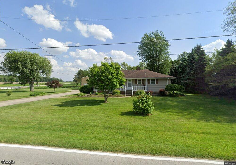
2417 Rice Rd Fremont, OH 43420
Estimated Value: $139,000 - $373,000
--
Bed
--
Bath
--
Sq Ft
8,973
Sq Ft Lot
About This Home
This home is located at 2417 Rice Rd, Fremont, OH 43420 and is currently estimated at $228,362. 2417 Rice Rd is a home with nearby schools including Fremont Ross High School.
Ownership History
Date
Name
Owned For
Owner Type
Purchase Details
Closed on
Oct 27, 2010
Sold by
Sultz Mark S
Bought by
Sultz Mark S and Sultz Janet L
Current Estimated Value
Purchase Details
Closed on
Jun 25, 2007
Sold by
Sultz Kelly A
Bought by
Sultz Mark S
Home Financials for this Owner
Home Financials are based on the most recent Mortgage that was taken out on this home.
Original Mortgage
$121,600
Interest Rate
6.26%
Mortgage Type
Purchase Money Mortgage
Purchase Details
Closed on
Jan 1, 1994
Sold by
Sultz Mark S and Sultz Kelly A
Bought by
Sultz Mark S and Sultz Janet L
Purchase Details
Closed on
Oct 1, 1987
Sold by
Sultz Mark S and Sultz Kelly A
Bought by
Sultz Mark S and Sultz Janet L
Purchase Details
Closed on
Dec 1, 1984
Bought by
Sultz Mark S and Sultz Janet L
Create a Home Valuation Report for This Property
The Home Valuation Report is an in-depth analysis detailing your home's value as well as a comparison with similar homes in the area
Home Values in the Area
Average Home Value in this Area
Purchase History
| Date | Buyer | Sale Price | Title Company |
|---|---|---|---|
| Sultz Mark S | -- | Attorney | |
| Sultz Mark S | -- | First American | |
| Sultz Mark S | -- | -- | |
| Sultz Mark S | -- | -- | |
| Sultz Mark S | $55,000 | -- |
Source: Public Records
Mortgage History
| Date | Status | Borrower | Loan Amount |
|---|---|---|---|
| Previous Owner | Sultz Mark S | $121,600 |
Source: Public Records
Tax History Compared to Growth
Tax History
| Year | Tax Paid | Tax Assessment Tax Assessment Total Assessment is a certain percentage of the fair market value that is determined by local assessors to be the total taxable value of land and additions on the property. | Land | Improvement |
|---|---|---|---|---|
| 2024 | $45 | $1,090 | $1,090 | $0 |
| 2023 | $45 | $880 | $880 | $0 |
| 2022 | $39 | $880 | $880 | $0 |
| 2021 | $41 | $880 | $880 | $0 |
| 2020 | $35 | $740 | $740 | $0 |
| 2019 | $35 | $740 | $740 | $0 |
| 2018 | $34 | $740 | $740 | $0 |
| 2017 | $34 | $740 | $740 | $0 |
| 2016 | $30 | $740 | $740 | $0 |
| 2015 | $30 | $740 | $740 | $0 |
| 2014 | $23 | $530 | $530 | $0 |
| 2013 | $22 | $530 | $530 | $0 |
Source: Public Records
Map
Nearby Homes
- 855 Rambo Ln
- 43 Sun Valley Dr Unit 43
- 2484 Buckland Ave
- 350 Conner Dr
- 41 Brookview Dr
- 1970 Morrison Rd
- 1818 Finley Dr
- 10 Meadowbrook Dr
- 10 Meadowbrook Ln
- 64 River Run Dr Unit J
- 64 River Run Dr
- 135 Briarwood Cir
- 2020 Elm Dr
- 822 Upton Rd
- 1832 Myrtle St
- 1719 Buckland Ave
- 1826 Morrison Rd
- 1485 Autumn Woods Dr
- 880 Cleveland Ave
- 18 Katlyn Dr