Estimated Value: $300,000 - $798,013
2
Beds
2
Baths
1,110
Sq Ft
$550/Sq Ft
Est. Value
About This Home
This home is located at 2417 Us Highway 41 S, Perry, GA 31069 and is currently estimated at $610,253, approximately $549 per square foot. 2417 Us Highway 41 S is a home located in Houston County with nearby schools including Tucker Elementary School, Perry Middle School, and Perry High School.
Ownership History
Date
Name
Owned For
Owner Type
Purchase Details
Closed on
Aug 23, 2019
Sold by
Garbett William R and Garbett Sherry A
Bought by
Brantley Michael K and Lineberger Kerry B
Current Estimated Value
Purchase Details
Closed on
Oct 19, 1994
Sold by
Wilson Wilson W and Wilson Wooddall C
Bought by
Garbett William R and Sherry A*
Create a Home Valuation Report for This Property
The Home Valuation Report is an in-depth analysis detailing your home's value as well as a comparison with similar homes in the area
Home Values in the Area
Average Home Value in this Area
Purchase History
| Date | Buyer | Sale Price | Title Company |
|---|---|---|---|
| Brantley Michael K | $400,000 | None Available | |
| Garbett William R | $37,500 | -- |
Source: Public Records
Tax History Compared to Growth
Tax History
| Year | Tax Paid | Tax Assessment Tax Assessment Total Assessment is a certain percentage of the fair market value that is determined by local assessors to be the total taxable value of land and additions on the property. | Land | Improvement |
|---|---|---|---|---|
| 2024 | $3,244 | $234,120 | $112,680 | $121,440 |
| 2023 | $2,755 | $185,640 | $84,080 | $101,560 |
| 2022 | $2,629 | $180,640 | $84,080 | $96,560 |
| 2021 | $2,316 | $153,280 | $69,160 | $84,120 |
| 2020 | $2,077 | $128,560 | $53,600 | $74,960 |
| 2019 | $1,872 | $122,360 | $53,600 | $68,760 |
| 2018 | $1,867 | $122,360 | $53,600 | $68,760 |
| 2017 | $1,864 | $122,360 | $53,600 | $68,760 |
| 2016 | $1,673 | $114,600 | $53,600 | $61,000 |
| 2015 | $1,672 | $114,600 | $0 | $0 |
| 2014 | -- | $114,600 | $0 | $0 |
| 2013 | -- | $114,600 | $0 | $0 |
Source: Public Records
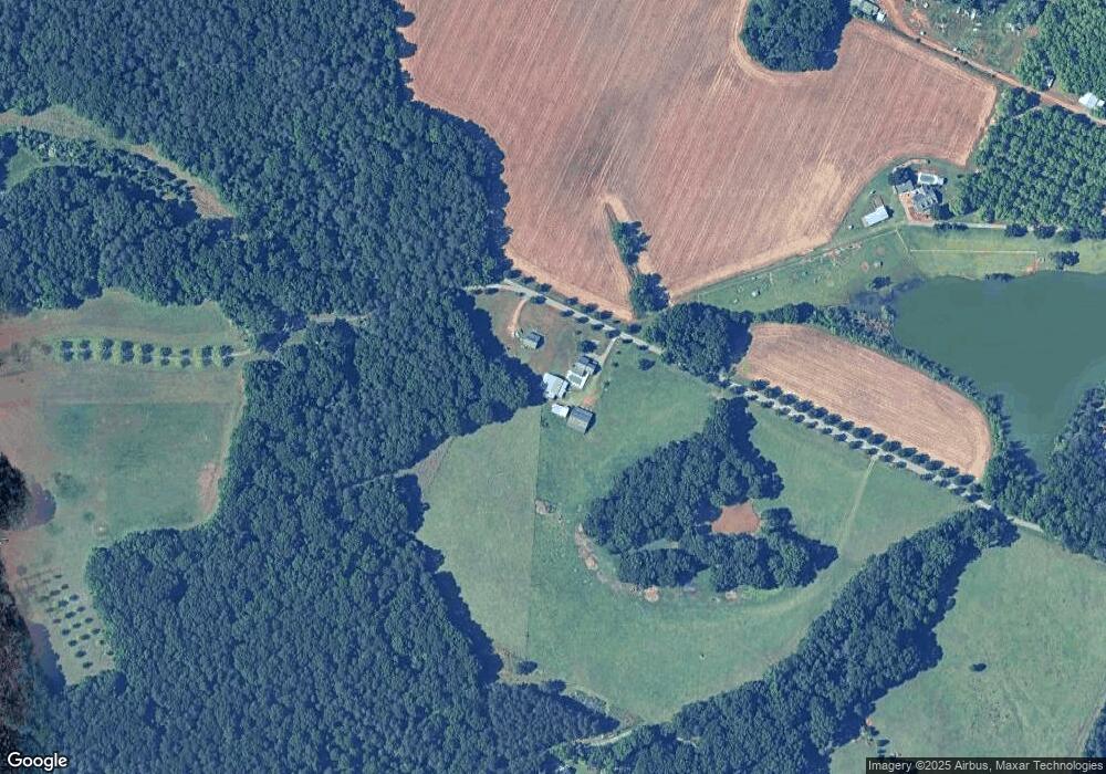
Map
Nearby Homes
- (5.41 acres) Redridge Ln
- 1010 Rock Rd
- 200 Felton Rd
- 209 Mcewen Ct
- 150 Moss Oaks Rd
- 2111 Us Highway 41 S
- 111 Cattle Dr
- 240 Rusty Plow Ln Unit 30
- 240 Rusty Plow Ln
- 246 Rusty Plow Ln Unit 27
- 246 Rusty Plow Ln
- 250 Rusty Plow Ln Unit 25
- 225 Rusty Plow Ln
- 305 Rusty Plow Ln
- 302 Rusty Plow Ln Unit 23
- 302 Rusty Plow Ln
- 305 Rusty Plow Ln Unit 13
- 303 Rusty Plow Ln
- 301 Rusty Plow Ln
- 309 Rusty Plow Ln Unit 15
- 2419 Us Highway 41 S
- 2401 Us Highway 41 S
- S U S 41
- 2423 U S 41
- 2185 Us Highway 41 S
- Tract C Redridge Ln
- 0 Redridge Ln
- 2391 Us Highway 41 S
- 2391 Us Highway 41 S
- 2423 Us Highway 41 S
- 917 Red Ridge Ln
- 2409 Us Highway 41 S
- 1005 Rock Rd
- 1001 Rock Rd
- 1003 Rock Rd
- 84 Rocky Rd
- 90 Rocky Rd
- 1008 Rock Rd
- 1000 Rock Rd