2417 Zion Hill Rd Weatherford, TX 76088
Estimated Value: $306,000 - $1,381,000
4
Beds
4
Baths
4,558
Sq Ft
$185/Sq Ft
Est. Value
About This Home
This home is located at 2417 Zion Hill Rd, Weatherford, TX 76088 and is currently estimated at $843,500, approximately $185 per square foot. 2417 Zion Hill Rd is a home located in Parker County with nearby schools including Peaster Elementary School, Peaster Middle School, and Peaster High School.
Ownership History
Date
Name
Owned For
Owner Type
Purchase Details
Closed on
May 26, 2023
Sold by
Touchstone Ranch Land Llc
Bought by
Casselman-Reed Mary Winona
Current Estimated Value
Purchase Details
Closed on
Jun 20, 2016
Sold by
Dove Hill Development Co Llc
Bought by
Ralls Bobby and Ralls Denny
Purchase Details
Closed on
Oct 13, 2011
Sold by
River Bend Development Group Lp
Bought by
Ralls Bobby and Ralls Denny
Home Financials for this Owner
Home Financials are based on the most recent Mortgage that was taken out on this home.
Original Mortgage
$200,000
Interest Rate
4.17%
Mortgage Type
Seller Take Back
Purchase Details
Closed on
Jul 29, 2011
Sold by
Ballard Robbie and Ballard Kris
Bought by
Ralls Bobby and Ralls Denny
Create a Home Valuation Report for This Property
The Home Valuation Report is an in-depth analysis detailing your home's value as well as a comparison with similar homes in the area
Home Values in the Area
Average Home Value in this Area
Purchase History
| Date | Buyer | Sale Price | Title Company |
|---|---|---|---|
| Casselman-Reed Mary Winona | -- | None Listed On Document | |
| Ralls Bobby | -- | -- | |
| Ralls Bobby | -- | -- | |
| Dove Hill Energy Services Llc | -- | None Available | |
| Ralls Bobby | -- | -- |
Source: Public Records
Mortgage History
| Date | Status | Borrower | Loan Amount |
|---|---|---|---|
| Previous Owner | Dove Hill Energy Services Llc | $200,000 |
Source: Public Records
Tax History Compared to Growth
Tax History
| Year | Tax Paid | Tax Assessment Tax Assessment Total Assessment is a certain percentage of the fair market value that is determined by local assessors to be the total taxable value of land and additions on the property. | Land | Improvement |
|---|---|---|---|---|
| 2025 | $946 | $160 | $160 | -- |
| 2024 | $946 | $54,670 | $54,670 | -- |
| 2023 | $946 | $140 | $140 | $0 |
| 2022 | $3 | $42,290 | $0 | $0 |
| 2021 | $3 | $42,290 | $0 | $0 |
| 2020 | $3 | $17,690 | $0 | $0 |
| 2019 | $3 | $17,690 | $0 | $0 |
| 2018 | $3 | $15,360 | $0 | $0 |
| 2017 | $3 | $15,360 | $0 | $0 |
| 2016 | $3 | $12,480 | $0 | $0 |
| 2015 | $265 | $12,480 | $12,480 | $0 |
| 2014 | $268 | $12,480 | $12,480 | $0 |
Source: Public Records
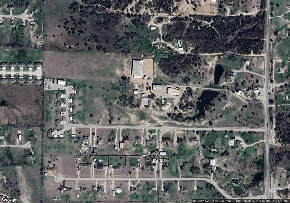
Map
Nearby Homes
- 2501 Zion Hill Rd
- 2505 Zion Hill Ln Unit 170 - 184 Even Numbe
- 143 Gibson Ln
- 200 Gibson Ln
- 187 Gibson Ln Unit 171 - 187 Odd Number
- 155 Gibson Ln Unit 155 - 169 Odd Number
- 231 Dove Hill Ln
- 2215 Zion Hill Rd Unit 12
- 2211 Zion Hill Rd Unit 4
- 2211 Zion Hill Rd Unit 8
- 2211 Zion Hill Rd Unit 6
- 2211 Zion Hill Rd Unit 1001-1019 Odd Number
- 2211 Zion Hill Rd Unit 3
- 2211 Zion Hill Rd Unit 7
- 2211 Zion Hill Rd Unit 996-1030 Even Number
- 2211 Zion Hill Rd Unit 9
- 2211 Zion Hill Rd Unit 5
- 2021 Woodland Rd
- 105 Paige St
- 312 Green Acres Rd
- 2505 Zion Hill Rd
- 12 Gibson Ln
- 119 Gibson Ln
- 123 Gibson Ln
- 131 Gibson Ln
- 2615 Zion Hill Rd
- 2615 Zion Hill Rd
- 2401 Zion Hill Rd
- 200 Dove Hill Ln
- 135 Gibson Ln
- 206 Dove Hill Ln
- 2593 Zion Hill Rd
- 2701 Zion Hill Rd
- 212 Dove Hill Ln
- 139 Gibson Ln
- 108 Gibson Ln
- 11 Gibson Ln
- 2503 Zion Hill Rd
- 7 Gibson Ln
- 218 Dove Hill Ln