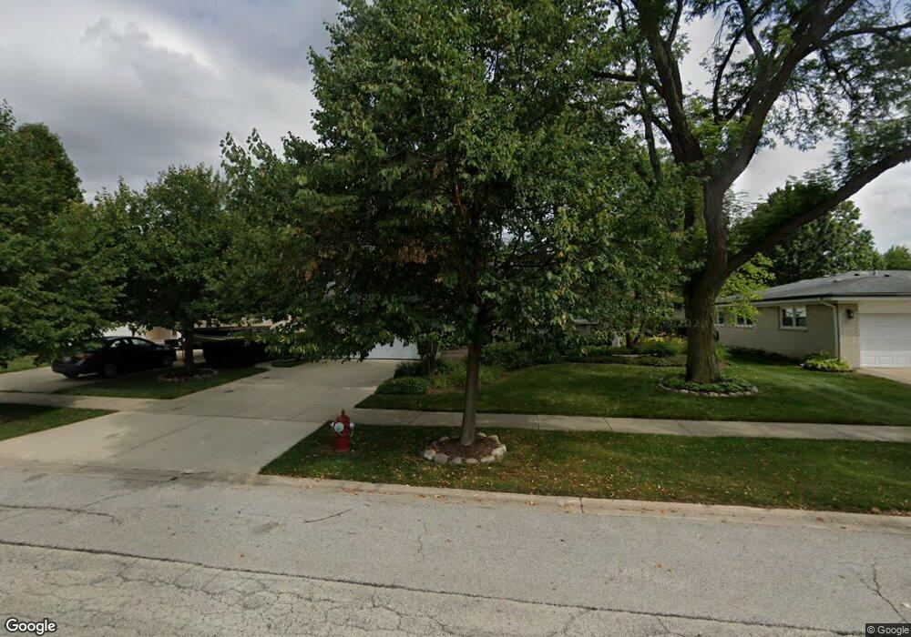
2418 E Sherwood Rd Arlington Heights, IL 60004
Estimated Value: $552,000 - $577,492
4
Beds
3
Baths
1,792
Sq Ft
$314/Sq Ft
Est. Value
About This Home
This home is located at 2418 E Sherwood Rd, Arlington Heights, IL 60004 and is currently estimated at $563,373, approximately $314 per square foot. 2418 E Sherwood Rd is a home located in Cook County with nearby schools including Dwight D Eisenhower Elementary School, Anne Sullivan Elementary School, and Betsy Ross Elementary School.
Ownership History
Date
Name
Owned For
Owner Type
Purchase Details
Closed on
Apr 17, 2023
Sold by
Chicago Title Land Trust Company
Bought by
Dennis W Bowe And Valerie A Bowe Declaration
Current Estimated Value
Purchase Details
Closed on
May 10, 2010
Sold by
Bowe Dennis W and Bowe Valerie A
Bought by
Chicago Title Land Trust Company and Trust #8002354825
Create a Home Valuation Report for This Property
The Home Valuation Report is an in-depth analysis detailing your home's value as well as a comparison with similar homes in the area
Home Values in the Area
Average Home Value in this Area
Purchase History
| Date | Buyer | Sale Price | Title Company |
|---|---|---|---|
| Dennis W Bowe And Valerie A Bowe Declaration | -- | Chicago Title | |
| Chicago Title Land Trust Company | -- | None Available |
Source: Public Records
Tax History Compared to Growth
Tax History
| Year | Tax Paid | Tax Assessment Tax Assessment Total Assessment is a certain percentage of the fair market value that is determined by local assessors to be the total taxable value of land and additions on the property. | Land | Improvement |
|---|---|---|---|---|
| 2024 | $8,888 | $38,485 | $9,625 | $28,860 |
| 2023 | $8,627 | $38,485 | $9,625 | $28,860 |
| 2022 | $8,627 | $39,211 | $9,625 | $29,586 |
| 2021 | $7,376 | $30,261 | $5,468 | $24,793 |
| 2020 | $7,301 | $30,261 | $5,468 | $24,793 |
| 2019 | $7,589 | $34,865 | $5,468 | $29,397 |
| 2018 | $7,464 | $31,817 | $4,812 | $27,005 |
| 2017 | $7,844 | $33,301 | $4,812 | $28,489 |
| 2016 | $8,947 | $35,829 | $4,812 | $31,017 |
| 2015 | $7,592 | $28,169 | $4,156 | $24,013 |
| 2014 | $7,509 | $28,169 | $4,156 | $24,013 |
| 2013 | $7,889 | $30,144 | $4,156 | $25,988 |
Source: Public Records
Map
Nearby Homes
- 2611 E Radford Ct
- 1949 N Charter Point Dr Unit 1949
- 1912 N Coldspring Rd Unit 96
- 1961 N Coldspring Rd Unit 63
- 1956 N Silver Lake Rd
- 2026 N Stillwater Rd Unit 24
- 307 Anne Ct
- 1532 N Courtland Dr Unit 6
- 2315 E Olive St Unit 3G
- 2315 E Olive St Unit 2G
- 1519 E Arbor Ln
- 1510 N Kendal Ct Unit 11510
- 105 W Ridge Ave
- 1215 N Waterman Ave Unit 3L
- 2424 E Oakton St Unit 3C
- 2420 E Brandenberry Ct Unit 4C
- 1511 N Windsor Dr Unit 208
- 13 W Kenilworth Ave
- 2403 E Brandenberry Ct Unit 2A
- 11 W Palatine Rd
- 2414 E Sherwood Rd
- 2502 E Sherwood Rd
- 2419 E Lillian Ln
- 2415 E Lillian Ln
- 2410 E Sherwood Rd
- 2507 E Lillian Ln
- 1714 N Dale Ave
- 2411 E Lillian Ln
- 2419 E Sherwood Rd
- 1718 N Dale Ave
- 2415 E Sherwood Rd
- 2503 E Sherwood Rd
- 2406 E Sherwood Rd
- 2411 E Sherwood Rd
- 2407 E Lillian Ln
- 1702 N Dale Ave
- 2402 E Sherwood Rd
- 2403 E Lillian Ln
- 2514 E Hartford Ct
- 1624 N Dale Ave