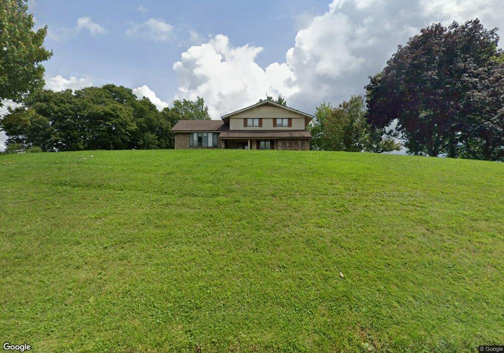
2418 Fletchers Ridge Rd Vansant, VA 24656
Estimated Value: $136,000 - $195,081
3
Beds
3
Baths
1,260
Sq Ft
$132/Sq Ft
Est. Value
About This Home
This home is located at 2418 Fletchers Ridge Rd, Vansant, VA 24656 and is currently estimated at $166,770, approximately $132 per square foot. 2418 Fletchers Ridge Rd is a home with nearby schools including Council Elementary-Middle School and Council High School.
Ownership History
Date
Name
Owned For
Owner Type
Purchase Details
Closed on
May 11, 2016
Sold by
Mcglothlin Bernard L and Mcglothlin Wilma Lois
Bought by
Jackson Tommy Neil and Jackson Kristen Elizabeth
Current Estimated Value
Home Financials for this Owner
Home Financials are based on the most recent Mortgage that was taken out on this home.
Original Mortgage
$116,000
Outstanding Balance
$91,746
Interest Rate
3.71%
Mortgage Type
New Conventional
Estimated Equity
$75,024
Create a Home Valuation Report for This Property
The Home Valuation Report is an in-depth analysis detailing your home's value as well as a comparison with similar homes in the area
Home Values in the Area
Average Home Value in this Area
Purchase History
| Date | Buyer | Sale Price | Title Company |
|---|---|---|---|
| Jackson Tommy Neil | $145,000 | Attorney |
Source: Public Records
Mortgage History
| Date | Status | Borrower | Loan Amount |
|---|---|---|---|
| Open | Jackson Tommy Neil | $116,000 |
Source: Public Records
Tax History Compared to Growth
Tax History
| Year | Tax Paid | Tax Assessment Tax Assessment Total Assessment is a certain percentage of the fair market value that is determined by local assessors to be the total taxable value of land and additions on the property. | Land | Improvement |
|---|---|---|---|---|
| 2025 | $606 | $155,400 | $6,100 | $149,300 |
| 2024 | $606 | $155,400 | $6,100 | $149,300 |
| 2023 | $606 | $155,400 | $6,100 | $149,300 |
| 2022 | $606 | $155,400 | $6,100 | $149,300 |
| 2021 | $606 | $155,400 | $6,100 | $149,300 |
| 2020 | $615 | $157,700 | $6,100 | $151,600 |
| 2019 | $615 | $157,700 | $6,100 | $151,600 |
| 2017 | $615 | $157,700 | $6,100 | $151,600 |
| 2016 | $615 | $157,700 | $6,100 | $151,600 |
| 2015 | $615 | $78,400 | $5,900 | $72,500 |
Source: Public Records
Map
Nearby Homes
- 1014 Banner Rd
- 10388 Helen Henderson Hwy
- 8232 Garden Creek Rd
- Tbd Lynn Springs Rd
- 9725 Garden Creek Rd
- 2477 Leemaster Dr
- 1078 Joe Hollow Rd
- 1075 Gator Rd
- 370 Jackie Dye Rd
- 0 Dry Fork Rd
- 0 Crackers Neck Rd
- 3687 Old Kentucky Turnpike Rd
- 1087 Greenhouse Cir
- 1877 Lovers Gap Rd
- 18775 Riverside Dr
- TBD Cypress St
- TBD Thompson Creek Rd
- TBD Drill Rd
- 171 Crestwood Dr
- TBD Horton Ridge Rd
- 1009 John Deere Rd
- 2646 Fletchers Ridge Rd
- 1121 John Deere Rd
- 2709 Fletcher's Ridge
- 2709 Fletchers Ridge Rd
- 1207 Stinson Ridge Rd
- 1184 Stinson Ridge Rd
- 1036 High Knob Rd
- 1853 Fletchers Ridge Rd
- 1735 Stinson Ridge Rd
- 1137 High Knob Rd
- 1341 Stinson Ridge Rd
- 1902 Fletchers Ridge Rd
- 1399 Stinson Ridge Rd
- 1312 High Knob Rd
- 1032 Long Rifle Rd
- 2189 Long Branch Rd
- 1618 Fletcher Hollow Rd
- 1582 Stinson Ridge Rd
- 1676 Stinson Ridge Rd