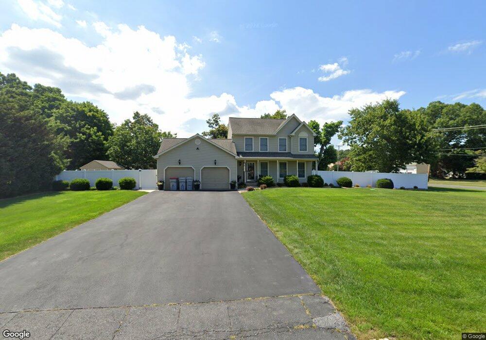
2418 Meade Dr Vineland, NJ 08361
Estimated Value: $382,755 - $424,000
--
Bed
--
Bath
1,720
Sq Ft
$230/Sq Ft
Est. Value
About This Home
This home is located at 2418 Meade Dr, Vineland, NJ 08361 and is currently estimated at $396,189, approximately $230 per square foot. 2418 Meade Dr is a home located in Cumberland County with nearby schools including Dr. William Mennies School, Anthony Rossi Elementary School, and Vineland Senior High School.
Ownership History
Date
Name
Owned For
Owner Type
Purchase Details
Closed on
Aug 30, 2002
Sold by
Landmark Development Llc
Bought by
Cossaboon Floyd and Cossaboon Tabitha
Current Estimated Value
Home Financials for this Owner
Home Financials are based on the most recent Mortgage that was taken out on this home.
Original Mortgage
$156,750
Outstanding Balance
$66,625
Interest Rate
6.48%
Estimated Equity
$329,564
Create a Home Valuation Report for This Property
The Home Valuation Report is an in-depth analysis detailing your home's value as well as a comparison with similar homes in the area
Home Values in the Area
Average Home Value in this Area
Purchase History
| Date | Buyer | Sale Price | Title Company |
|---|---|---|---|
| Cossaboon Floyd | $165,000 | -- |
Source: Public Records
Mortgage History
| Date | Status | Borrower | Loan Amount |
|---|---|---|---|
| Open | Cossaboon Floyd | $156,750 |
Source: Public Records
Tax History Compared to Growth
Tax History
| Year | Tax Paid | Tax Assessment Tax Assessment Total Assessment is a certain percentage of the fair market value that is determined by local assessors to be the total taxable value of land and additions on the property. | Land | Improvement |
|---|---|---|---|---|
| 2025 | $6,865 | $215,600 | $40,500 | $175,100 |
| 2024 | $6,865 | $215,600 | $40,500 | $175,100 |
| 2023 | $6,819 | $215,600 | $40,500 | $175,100 |
| 2022 | $6,617 | $215,600 | $40,500 | $175,100 |
| 2021 | $6,496 | $215,600 | $40,500 | $175,100 |
| 2020 | $6,311 | $215,600 | $40,500 | $175,100 |
| 2019 | $6,224 | $215,600 | $40,500 | $175,100 |
| 2018 | $6,061 | $215,600 | $40,500 | $175,100 |
| 2017 | $5,588 | $209,300 | $40,500 | $168,800 |
| 2016 | $5,392 | $209,300 | $40,500 | $168,800 |
| 2015 | $5,262 | $212,100 | $40,500 | $171,600 |
| 2014 | $4,976 | $212,100 | $40,500 | $171,600 |
Source: Public Records
Map
Nearby Homes
- 1017 Alexander Dr
- 2399 S Main Rd
- 2470 S Main Rd
- 1170 Rogers Ave
- 1243 Garry Ave
- 2652 S Main Rd
- 1417 Rogers Ave
- 1390 E Sherman Ave
- 1466 E Sherman Ave
- 1354 Roosevelt Blvd
- 2903 S Lincoln Ave
- 1599 Cherokee Ln
- 1739 S Main Rd
- 2800 Perna Ln
- 500 Jennifer Ln
- 1551 S Main Rd
- 2319 S Lincoln Ave
- 1775 Roosevelt Blvd
- 3226 S Main Rd
- 1550 S Lincoln Ave
- 2595 Meade Dr
- 2440 Meade Dr
- 1053 E Grant Ave
- 1050 Alexander Dr
- 1092 E Grant Ave
- 1133 E Grant Ave
- 1042 E Grant Ave
- 1120 E Grant Ave
- 2464 Meade Dr
- 1034 Alexander Dr
- 2455 Meade Dr
- 1024 E Grant Ave
- 1018 Alexander Dr
- 1019 E Grant Ave
- 1142 E Grant Ave
- 1049 Alexander Dr
- 2490 Meade Dr
- 1158 E Grant Ave
- 1000 Alexander Dr
- 1177 E Grant Ave