2418 Ronnie Rd Buena Vista, GA 31803
Estimated Value: $201,000 - $705,525
--
Bed
2
Baths
1,759
Sq Ft
$258/Sq Ft
Est. Value
About This Home
This home is located at 2418 Ronnie Rd, Buena Vista, GA 31803 and is currently estimated at $453,263, approximately $257 per square foot. 2418 Ronnie Rd is a home located in Marion County with nearby schools including L.K. Moss Elementary School and Marion County Middle/High School.
Ownership History
Date
Name
Owned For
Owner Type
Purchase Details
Closed on
Sep 20, 2018
Sold by
Singleton Ronnie Lynn
Bought by
Singleton Ronnie Lynn and Singleton Leila S
Current Estimated Value
Purchase Details
Closed on
Jun 16, 2000
Sold by
Singleton Ronnie L
Bought by
Singleton Ronnie L
Purchase Details
Closed on
Apr 15, 1970
Bought by
Singleton Ronnie L
Create a Home Valuation Report for This Property
The Home Valuation Report is an in-depth analysis detailing your home's value as well as a comparison with similar homes in the area
Home Values in the Area
Average Home Value in this Area
Purchase History
| Date | Buyer | Sale Price | Title Company |
|---|---|---|---|
| Singleton Ronnie Lynn | -- | -- | |
| Singleton Ronnie L | -- | -- | |
| Singleton Ronnie L | -- | -- |
Source: Public Records
Tax History Compared to Growth
Tax History
| Year | Tax Paid | Tax Assessment Tax Assessment Total Assessment is a certain percentage of the fair market value that is determined by local assessors to be the total taxable value of land and additions on the property. | Land | Improvement |
|---|---|---|---|---|
| 2024 | $3,335 | $169,610 | $97,648 | $71,962 |
| 2023 | $2,900 | $169,610 | $97,648 | $71,962 |
| 2022 | $3,396 | $75,824 | $984 | $74,840 |
| 2021 | $3,330 | $172,488 | $97,648 | $74,840 |
| 2020 | $3,307 | $172,488 | $97,648 | $74,840 |
| 2019 | $3,253 | $172,488 | $97,648 | $74,840 |
| 2018 | $3,213 | $172,488 | $97,648 | $74,840 |
| 2017 | $3,172 | $172,488 | $97,648 | $74,840 |
| 2016 | $3,054 | $230,824 | $155,984 | $74,840 |
| 2015 | -- | $272,532 | $197,693 | $74,840 |
| 2014 | -- | $272,532 | $197,693 | $74,840 |
| 2013 | -- | $246,996 | $197,692 | $49,303 |
Source: Public Records
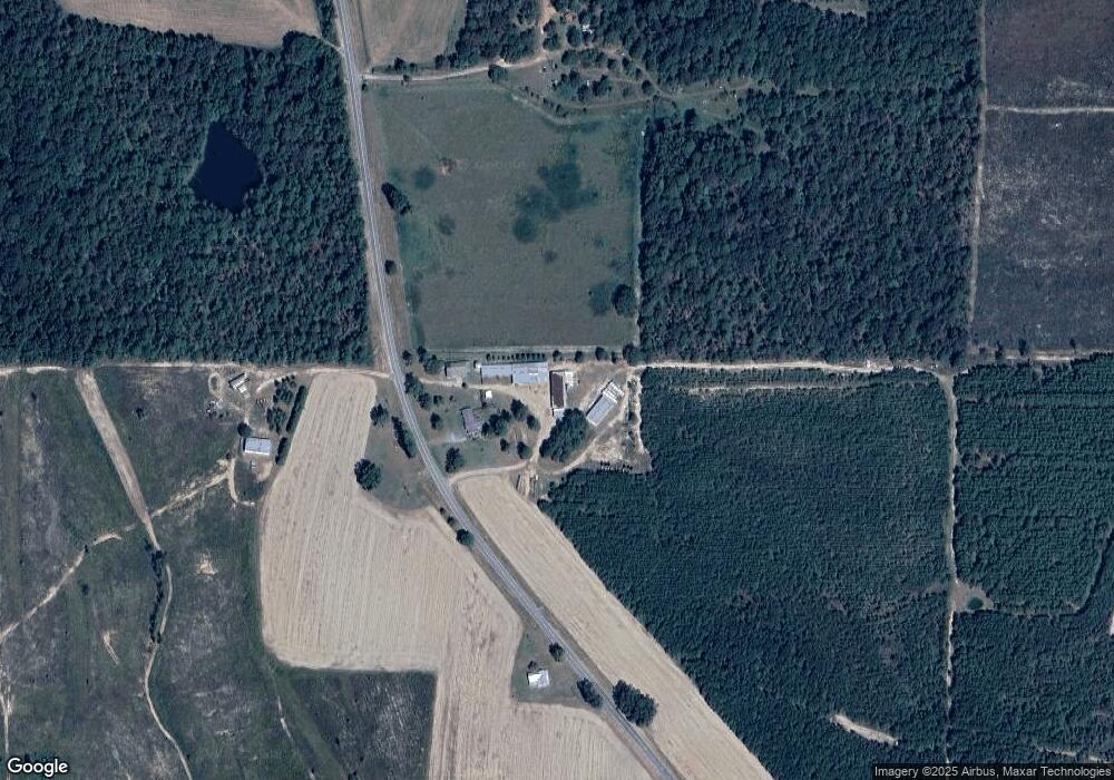
Map
Nearby Homes
- SR-240 Connector
- 0 Georgia 240
- 3599 Ga Highway 127
- 12 AC Liberty Rd
- 0 Liberty Rd
- 62 Brannon Montgomery Rd
- 221 Flamingo Dr
- 0 Brannon Montgomery Rd Unit 10453495
- 0 Brannon Montgomery Rd Unit 25510431
- 0 Poll Mill Rd
- 375 Village Ln
- 1009 Walter Wells Rd
- 15 Georgia 127
- 65 Saddle Trail
- 2450 Fort Perry Rd
- 1792 Bethlehem Rd
- 0 Fuller Rd Unit 22846458
- 245 Dog Track Rd
- 5264 Ga Highway 41 N
- 0 Miller Rd Unit 10319190
- 2518 Ronnie Rd
- 2190 Ronnie Rd
- 407 Ga Highway 240 Conn
- 297 Ga Highway 240 Connector
- 2255 Joe Wells Rd
- Tract 1 Joe Wells Rd
- 2894 Ga Highway 127
- 327 Ga Highway 240 Conn
- 2818 Ga Highway 127
- 1825 Joe Wells Rd
- 1741 Joe Wells Rd
- 71 Oak Ln
- 240 Ga Highway Connector
- 707 Ga Highway 240 Conn
- 93 Oak Ln
- 1764 Joe Wells Rd
- 3003 Ga Highway 127
- 3003 Ga Highway 127
- 2719 Ga Highway 127
- 2650 Ga Highway 127