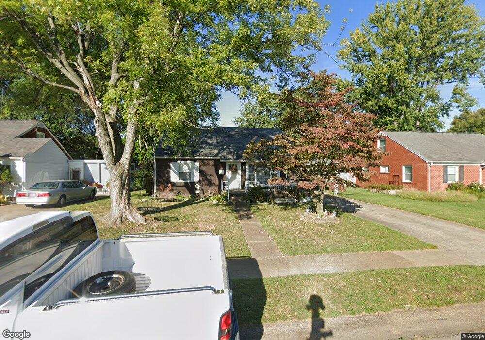
2418 S Cherokee Dr Owensboro, KY 42301
Wesleyan-Shawnee NeighborhoodEstimated Value: $192,244 - $230,000
3
Beds
1
Bath
1,728
Sq Ft
$124/Sq Ft
Est. Value
About This Home
This home is located at 2418 S Cherokee Dr, Owensboro, KY 42301 and is currently estimated at $214,561, approximately $124 per square foot. 2418 S Cherokee Dr is a home located in Daviess County with nearby schools including Sutton Elementary School, Owensboro Middle School North, and Owensboro High School.
Ownership History
Date
Name
Owned For
Owner Type
Purchase Details
Closed on
Aug 27, 2021
Sold by
Causey Johnathon A and Causey Ashley L
Bought by
Lacefield Carol and Lacefield Daniel
Current Estimated Value
Home Financials for this Owner
Home Financials are based on the most recent Mortgage that was taken out on this home.
Original Mortgage
$162,993
Outstanding Balance
$148,399
Interest Rate
2.84%
Mortgage Type
Construction
Estimated Equity
$66,162
Create a Home Valuation Report for This Property
The Home Valuation Report is an in-depth analysis detailing your home's value as well as a comparison with similar homes in the area
Home Values in the Area
Average Home Value in this Area
Purchase History
| Date | Buyer | Sale Price | Title Company |
|---|---|---|---|
| Lacefield Carol | $166,000 | Foreman Watson Land Title Llc |
Source: Public Records
Mortgage History
| Date | Status | Borrower | Loan Amount |
|---|---|---|---|
| Open | Lacefield Carol | $162,993 |
Source: Public Records
Tax History
| Year | Tax Paid | Tax Assessment Tax Assessment Total Assessment is a certain percentage of the fair market value that is determined by local assessors to be the total taxable value of land and additions on the property. | Land | Improvement |
|---|---|---|---|---|
| 2025 | $552 | $166,000 | $20,000 | $146,000 |
| 2024 | $6 | $166,000 | $0 | $0 |
| 2023 | $573 | $166,000 | $0 | $0 |
| 2022 | $2,463 | $166,000 | $0 | $0 |
| 2021 | $1,673 | $112,000 | $0 | $0 |
| 2020 | $1,658 | $112,000 | $0 | $0 |
| 2019 | $105,098 | $92,547 | $0 | $0 |
| 2018 | $1,199 | $80,000 | $0 | $0 |
| 2017 | $1,194 | $80,000 | $0 | $0 |
| 2016 | $1,186 | $80,000 | $0 | $0 |
| 2015 | $890 | $94,800 | $0 | $0 |
| 2014 | $887 | $80,000 | $0 | $0 |
Source: Public Records
Map
Nearby Homes
- 2504 Windsor Ave
- 1629 Booth Ave
- 1728 Saint Marys Ave
- 1231 Maple Ave
- 1425 Ford Ave
- 2231 Saint James Ct
- 2429 Spencer Dr
- 1637 Sioux Place
- 2046 Sussex Place
- 1047 Hill Ave
- 2030 Sussex Place
- 1738 Sioux Place
- 817 Wesleyan Park Dr
- 2013 Wimbledon Ct
- 816 Booth Ave
- 2700 Baylor Place
- 902 Hill Ave
- 709 Wesleyan Park Dr
- 1120 College Dr
- 2200 Middleground Dr N
- 2426 S Cherokee Dr
- 2412 S Cherokee Dr
- 2417 Windsor Ave
- 2432 S Cherokee Dr
- 2406 S Cherokee Dr
- 2425 Windsor Ave
- 2411 Windsor Ave
- 2419 S Cherokee Dr
- 2425 S Cherokee Dr
- 2415 S Cherokee Dr
- 2411 S Cherokee Dr
- 2431 Windsor Ave
- 2431 S Cherokee Dr
- 2440 S Cherokee Dr
- 1504 Booth Ave
- 1520 Booth Ave
- 2439 Windsor Ave
- 2439 S Cherokee Dr
- 2405 S Cherokee Dr
- 2446 S Cherokee Dr
Your Personal Tour Guide
Ask me questions while you tour the home.