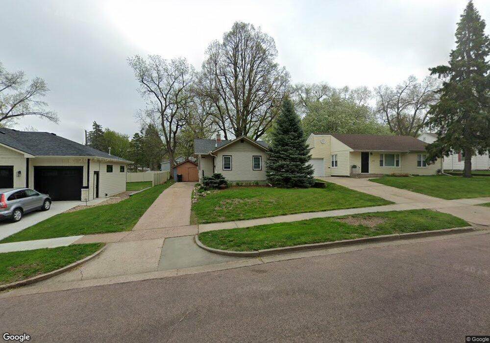
2418 S Main Ave Sioux Falls, SD 57105
McKennan Park NeighborhoodEstimated Value: $206,000 - $227,000
2
Beds
1
Bath
608
Sq Ft
$357/Sq Ft
Est. Value
About This Home
This home is located at 2418 S Main Ave, Sioux Falls, SD 57105 and is currently estimated at $216,782, approximately $356 per square foot. 2418 S Main Ave is a home located in Minnehaha County with nearby schools including Susan B. Anthony Elementary School - 66, Patrick Henry Middle School, and Lincoln High School.
Ownership History
Date
Name
Owned For
Owner Type
Purchase Details
Closed on
Feb 28, 2023
Sold by
Osborn Todd Stuart
Bought by
Rounsefell Erica
Current Estimated Value
Purchase Details
Closed on
Apr 2, 2021
Sold by
E M Properties Llc
Bought by
Osborn Todd Stuart
Home Financials for this Owner
Home Financials are based on the most recent Mortgage that was taken out on this home.
Original Mortgage
$160,550
Interest Rate
2.9%
Mortgage Type
New Conventional
Create a Home Valuation Report for This Property
The Home Valuation Report is an in-depth analysis detailing your home's value as well as a comparison with similar homes in the area
Home Values in the Area
Average Home Value in this Area
Purchase History
| Date | Buyer | Sale Price | Title Company |
|---|---|---|---|
| Rounsefell Erica | $194,500 | -- | |
| Rounsefell Erica | $194,500 | -- | |
| Osborn Todd Stuart | $169,000 | None Available |
Source: Public Records
Mortgage History
| Date | Status | Borrower | Loan Amount |
|---|---|---|---|
| Previous Owner | Osborn Todd Stuart | $160,550 |
Source: Public Records
Tax History
| Year | Tax Paid | Tax Assessment Tax Assessment Total Assessment is a certain percentage of the fair market value that is determined by local assessors to be the total taxable value of land and additions on the property. | Land | Improvement |
|---|---|---|---|---|
| 2024 | $2,096 | $151,800 | $35,400 | $116,400 |
| 2023 | $1,678 | $115,400 | $30,600 | $84,800 |
| 2022 | $1,594 | $103,300 | $25,500 | $77,800 |
| 2021 | $1,715 | $88,900 | $0 | $0 |
| 2020 | $1,715 | $86,300 | $0 | $0 |
| 2019 | $1,541 | $75,466 | $0 | $0 |
| 2018 | $1,417 | $73,761 | $0 | $0 |
| 2017 | $1,321 | $69,295 | $26,245 | $43,050 |
| 2016 | $1,321 | $63,647 | $24,995 | $38,652 |
| 2015 | $1,361 | $62,272 | $24,995 | $37,277 |
| 2014 | $1,316 | $62,272 | $24,995 | $37,277 |
Source: Public Records
Map
Nearby Homes
- 2312 S Phillips Ave
- 2423 S Center Ave
- 2427 S Center Ave
- 2425 S Center Ave
- 219 E 33rd St
- 212 E 34th St
- 205 E 34th St
- 2805 S 1st Ave
- 2115 S 4th Ave
- 5812 N Mapleton Pl Place
- 2020 S Duluth Ave
- 2412 S 5th Ave
- 2800 S Duluth Ave
- 220 E 27th St
- 103 W 26th St
- 2700 S Norton Ave
- 1914 S Duluth Ave
- 1904 S Duluth Ave
- 817 W 27th St
- 222 W 23rd St
- 2420 S Main Ave
- 2414 S Main Ave
- 2422 S Main Ave
- 2412 S Main Ave
- 2417 S Main Ave
- 2424 S Main Ave
- 2419 S Main Ave
- 2409 S Phillips Ave
- 2407 S Phillips Ave
- 2405 S Phillips Ave
- 2413 S Main Ave
- 2421 S Main Ave
- 2404 S Main Ave
- 2409 S Main Ave
- 2411 S Phillips Ave
- 2425 S Main Ave
- 2400 S Main Ave
- 2405 S Main Ave
- 2305 S Phillips Ave
- 2415 S Phillips Ave
Your Personal Tour Guide
Ask me questions while you tour the home.