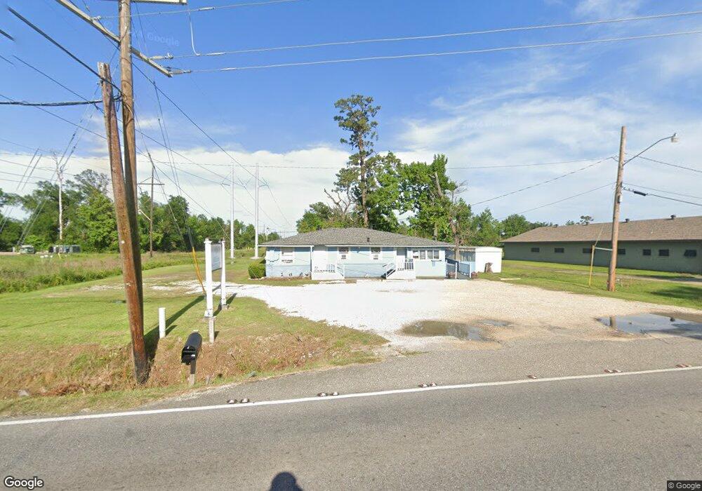
2418 Westwood Rd Westlake, LA 70669
Estimated Value: $72,122
--
Bed
--
Bath
1,950
Sq Ft
$37/Sq Ft
Est. Value
About This Home
This home is located at 2418 Westwood Rd, Westlake, LA 70669 and is currently estimated at $72,122, approximately $36 per square foot. 2418 Westwood Rd is a home located in Calcasieu Parish with nearby schools including Westwood Elementary School, Western Heights Elementary School, and S.P. Arnett Middle School.
Ownership History
Date
Name
Owned For
Owner Type
Purchase Details
Closed on
Jun 24, 2013
Sold by
J C Trust Llc
Bought by
Williams & Sons
Current Estimated Value
Purchase Details
Closed on
May 31, 2012
Sold by
J C Trust Llc
Bought by
Heartland Investors/Us Bank
Purchase Details
Closed on
Aug 21, 2009
Sold by
Davis Michael James and Davis Michael James
Bought by
J C Trust Llc
Purchase Details
Closed on
Jan 2, 2009
Sold by
Davis Mike
Bought by
D N G Company Llc and Westwood Day Care
Create a Home Valuation Report for This Property
The Home Valuation Report is an in-depth analysis detailing your home's value as well as a comparison with similar homes in the area
Home Values in the Area
Average Home Value in this Area
Purchase History
| Date | Buyer | Sale Price | Title Company |
|---|---|---|---|
| Williams & Sons | $346 | None Available | |
| Heartland Investors/Us Bank | -- | None Available | |
| J C Trust Llc | $120,000 | Elite Title Ins Agency Inc | |
| D N G Company Llc | $149,000 | None Available |
Source: Public Records
Mortgage History
| Date | Status | Borrower | Loan Amount |
|---|---|---|---|
| Closed | J C Trust Llc | $0 |
Source: Public Records
Tax History Compared to Growth
Tax History
| Year | Tax Paid | Tax Assessment Tax Assessment Total Assessment is a certain percentage of the fair market value that is determined by local assessors to be the total taxable value of land and additions on the property. | Land | Improvement |
|---|---|---|---|---|
| 2024 | $816 | $6,750 | $760 | $5,990 |
| 2023 | $816 | $6,750 | $760 | $5,990 |
| 2022 | $833 | $6,750 | $760 | $5,990 |
| 2021 | $651 | $6,750 | $760 | $5,990 |
| 2020 | $668 | $5,530 | $730 | $4,800 |
| 2019 | $857 | $6,750 | $760 | $5,990 |
| 2018 | $800 | $6,750 | $760 | $5,990 |
| 2017 | $832 | $6,750 | $760 | $5,990 |
| 2016 | $832 | $6,750 | $760 | $5,990 |
| 2015 | $167 | $6,750 | $760 | $5,990 |
Source: Public Records
Map
Nearby Homes
- 2524 Cox Rd
- 618 John Stine Rd
- 2526 Cox Rd
- 1622 Reserve Dr
- 2429 Duraso Dr
- 2425 Duraso Dr
- 1630 Reserve Dr
- 1512 Fairway Dr
- 1653 Reserve Dr
- 2215 Pitre St
- 1650 Reserve Dr
- 2414 Fenimore Loop
- 2518 Donnelly Rd
- 2412 Fenimore Loop
- 0 John Stine Rd Unit SWL25000871
- 2210 Mccloud St
- 2407 Hogan's Alley
- 0 Hogans Alley Unit 134209
- 0 Hogans Alley Unit 134232
- 0 Hogans Alley Unit 134230