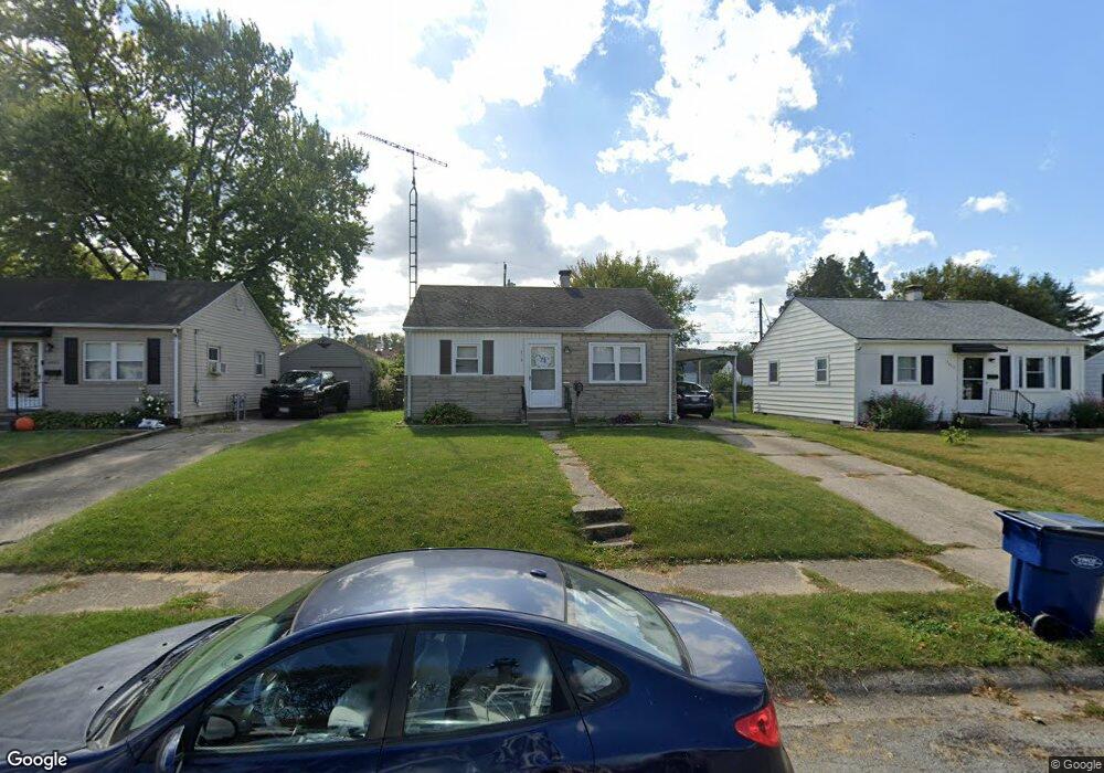
2419 Leland Dr Springfield, OH 45505
Estimated Value: $107,000 - $145,000
2
Beds
1
Bath
912
Sq Ft
$140/Sq Ft
Est. Value
About This Home
This home is located at 2419 Leland Dr, Springfield, OH 45505 and is currently estimated at $127,639, approximately $139 per square foot. 2419 Leland Dr is a home located in Clark County with nearby schools including Mann Elementary School, Schaefer Middle School, and Springfield High School.
Ownership History
Date
Name
Owned For
Owner Type
Purchase Details
Closed on
Jun 2, 2025
Sold by
Hart Barbara G and Hart John Michael
Bought by
Dmhco Llc
Current Estimated Value
Purchase Details
Closed on
Feb 17, 2005
Sold by
Galuppo Betty
Bought by
Hart Barbara G
Purchase Details
Closed on
Jan 24, 2005
Sold by
Hud
Bought by
Galuppo Betty
Purchase Details
Closed on
Sep 3, 2004
Sold by
Ackley Charles E
Bought by
Hud
Purchase Details
Closed on
Sep 3, 1997
Sold by
Cook Ronald E
Bought by
Beller Charles W and Beller Regenia
Home Financials for this Owner
Home Financials are based on the most recent Mortgage that was taken out on this home.
Original Mortgage
$59,509
Interest Rate
7.54%
Mortgage Type
FHA
Create a Home Valuation Report for This Property
The Home Valuation Report is an in-depth analysis detailing your home's value as well as a comparison with similar homes in the area
Home Values in the Area
Average Home Value in this Area
Purchase History
| Date | Buyer | Sale Price | Title Company |
|---|---|---|---|
| Dmhco Llc | -- | None Listed On Document | |
| Dmhco Llc | -- | None Listed On Document | |
| Hart Barbara G | $55,000 | -- | |
| Galuppo Betty | $43,900 | Lakeside Title & Escrow Agen | |
| Hud | $46,000 | -- | |
| Beller Charles W | $61,000 | -- |
Source: Public Records
Mortgage History
| Date | Status | Borrower | Loan Amount |
|---|---|---|---|
| Previous Owner | Beller Charles W | $59,509 |
Source: Public Records
Tax History Compared to Growth
Tax History
| Year | Tax Paid | Tax Assessment Tax Assessment Total Assessment is a certain percentage of the fair market value that is determined by local assessors to be the total taxable value of land and additions on the property. | Land | Improvement |
|---|---|---|---|---|
| 2024 | $1,429 | $28,930 | $4,410 | $24,520 |
| 2023 | $1,429 | $28,930 | $4,410 | $24,520 |
| 2022 | $1,464 | $28,930 | $4,410 | $24,520 |
| 2021 | $1,022 | $18,600 | $3,500 | $15,100 |
| 2020 | $1,024 | $18,600 | $3,500 | $15,100 |
| 2019 | $1,181 | $21,390 | $3,500 | $17,890 |
| 2018 | $1,070 | $18,600 | $2,630 | $15,970 |
| 2017 | $1,069 | $19,947 | $2,625 | $17,322 |
| 2016 | $1,071 | $19,947 | $2,625 | $17,322 |
| 2015 | $1,059 | $19,947 | $2,625 | $17,322 |
| 2014 | $1,055 | $19,947 | $2,625 | $17,322 |
| 2013 | $1,618 | $19,947 | $2,625 | $17,322 |
Source: Public Records
Map
Nearby Homes
- 2345 Irwin Ave
- 637 S Arlington Ave
- 2434 Irwin Ave
- 2422 Lexington Ave
- 2733 Elmore Dr
- 360 Buxton Ave
- 327 Buxton Ave
- 2751 Share St
- 351 S Clairmont Ave
- 2753 Van Buren Ave
- 500 S Belmont Ave Unit 502
- 1979 Kenton St
- 2201 Elmwood Ave
- 535 S Hubert Ave
- 1714 Kenton St
- 1915 Kenwood Ave
- 2027 Elmwood Ave
- 603 Linwood Ave Unit 605
- 1810 Kenwood Ave
- 523 Linwood Ave
- 2413 Leland Dr
- 2423 Leland Dr
- 2429 Leland Dr
- 2407 Leland Dr
- 2420 Mayfair Dr
- 2424 Mayfair Dr
- 2414 Mayfair Dr
- 706 Cortland Dr
- 2433 Leland Dr
- 2430 Mayfair Dr
- 2410 Mayfair Dr
- 708 Cortland Dr
- 716 Cortland Dr
- 2424 Leland Dr
- 2418 Leland Dr
- 716 Corland Dr
- 2428 Leland Dr
- 2434 Mayfair Dr
- 2414 Leland Dr
- 2439 Leland Dr