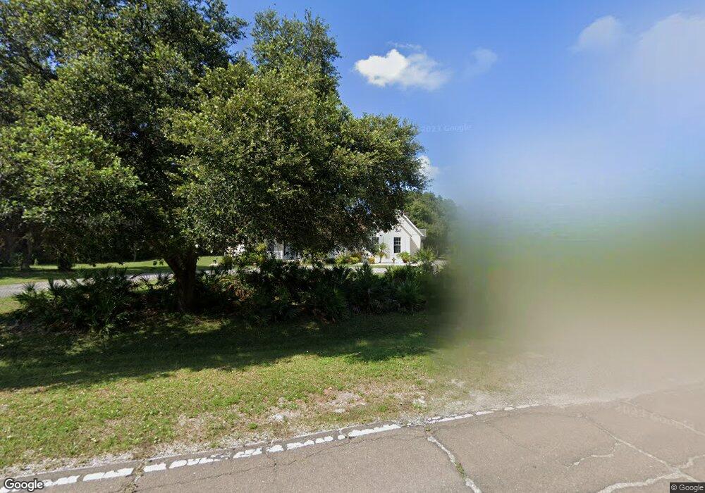
2419 Lightfoot Rd Wimauma, FL 33598
Estimated Value: $587,911 - $657,000
3
Beds
3
Baths
2,589
Sq Ft
$239/Sq Ft
Est. Value
About This Home
This home is located at 2419 Lightfoot Rd, Wimauma, FL 33598 and is currently estimated at $619,728, approximately $239 per square foot. 2419 Lightfoot Rd is a home located in Hillsborough County with nearby schools including Cypress Creek Elementary School, Shields Middle School, and Lennard High School.
Ownership History
Date
Name
Owned For
Owner Type
Purchase Details
Closed on
Aug 1, 2023
Sold by
Evans Keith J and Evans Pamela M
Bought by
Evans Keith J and Evans Keith J
Current Estimated Value
Purchase Details
Closed on
Feb 17, 2000
Sold by
Veljko and Bajsanski Juca
Bought by
Evans Keith J and Evans Pamela M
Home Financials for this Owner
Home Financials are based on the most recent Mortgage that was taken out on this home.
Original Mortgage
$14,000
Interest Rate
8.17%
Create a Home Valuation Report for This Property
The Home Valuation Report is an in-depth analysis detailing your home's value as well as a comparison with similar homes in the area
Home Values in the Area
Average Home Value in this Area
Purchase History
| Date | Buyer | Sale Price | Title Company |
|---|---|---|---|
| Evans Keith J | -- | None Listed On Document | |
| Evans Keith J | $28,000 | -- |
Source: Public Records
Mortgage History
| Date | Status | Borrower | Loan Amount |
|---|---|---|---|
| Previous Owner | Evans Keith J | $170,000 | |
| Previous Owner | Evans Keith J | $14,000 |
Source: Public Records
Tax History Compared to Growth
Tax History
| Year | Tax Paid | Tax Assessment Tax Assessment Total Assessment is a certain percentage of the fair market value that is determined by local assessors to be the total taxable value of land and additions on the property. | Land | Improvement |
|---|---|---|---|---|
| 2024 | $3,207 | $194,650 | -- | -- |
| 2023 | $3,076 | $188,981 | $0 | $0 |
| 2022 | $2,908 | $183,477 | $0 | $0 |
| 2021 | $2,870 | $178,133 | $0 | $0 |
| 2020 | $2,782 | $175,674 | $0 | $0 |
| 2019 | $2,682 | $171,724 | $0 | $0 |
| 2018 | $2,628 | $168,522 | $0 | $0 |
| 2017 | $2,587 | $212,157 | $0 | $0 |
| 2016 | $2,557 | $161,661 | $0 | $0 |
| 2015 | $2,190 | $140,245 | $0 | $0 |
| 2014 | $2,165 | $139,124 | $0 | $0 |
| 2013 | -- | $137,068 | $0 | $0 |
Source: Public Records
Map
Nearby Homes
- 0 Lone Palm Dr
- 3305 Long Rifle Dr
- 2205 Butch Cassidy Trail
- 3309 Timberlee Rd
- 0 Surrey Trail
- 0 Butch Cassidy Trail
- 1619 Butch Cassidy Trail
- 1708 Shenandoah Rd
- 1603 Butch Cassidy Trail
- 0 Lightfoot Rd Unit MFRT3550764
- 13224 Stable Place
- 14024 Textile Run
- 13618 Cornerstone Way
- 13212 Stable Place
- 13305 Stable Place
- 13407 Camelot Ct
- 13231 Commons Ave
- 13422 Camelot Ct
- 13236 Stable Place
- 13204 Stable Place
- 2421 Lightfoot Rd
- 2213 Lone Palm Dr
- 2501 Lightfoot Rd
- 2502 Stampede Ct
- 2212 Lone Palm Dr
- 2469 Lightfoot Rd Unit 5
- 2504 Stampede Ct
- 2208 Lone Palm Dr
- 2511 Lightfoot Rd
- 2503 Stampede Ct
- 2205 Lone Palm Dr
- 3122 Long Rifle Dr
- 3126 Long Rifle Dr
- 2229 Butch Cassidy Trail
- 2505 Stampede Ct
- 2201 Lone Palm Dr Unit 5
- 3305 Saddle Bronc Place
- 3118 Long Rifle Dr
- 2131 Lone Palm Dr
- 3116 Long Rifle Dr