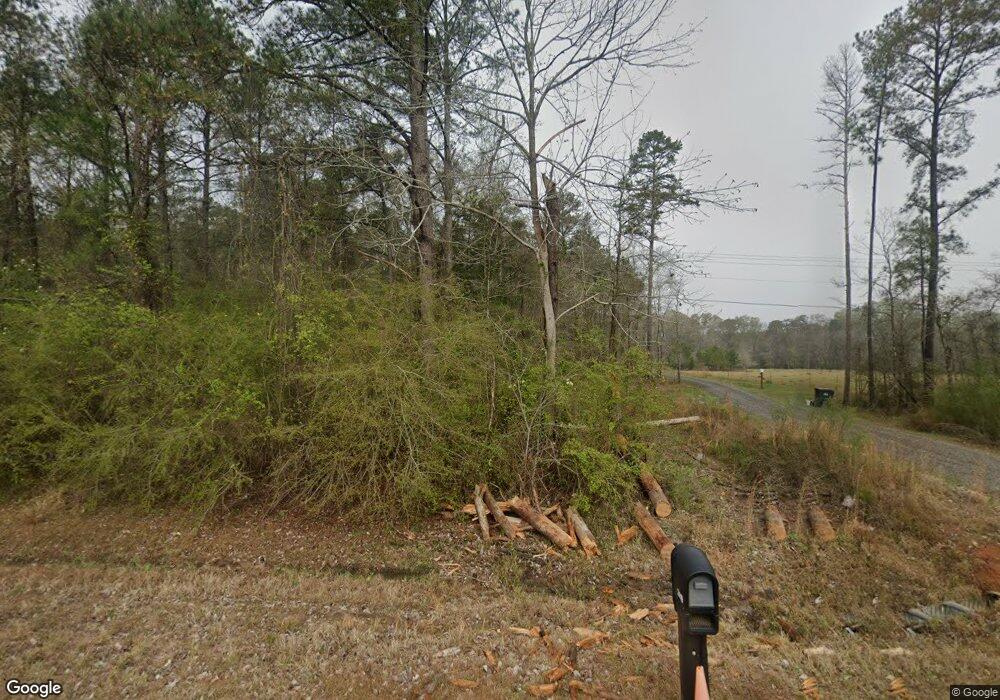
Estimated Value: $328,000 - $674,000
3
Beds
2
Baths
2,095
Sq Ft
$239/Sq Ft
Est. Value
About This Home
This home is located at 2419 Us Highway 41 S, Perry, GA 31069 and is currently estimated at $501,000, approximately $239 per square foot. 2419 Us Highway 41 S is a home with nearby schools including Tucker Elementary School, Perry Middle School, and Perry High School.
Ownership History
Date
Name
Owned For
Owner Type
Purchase Details
Closed on
Feb 28, 2017
Sold by
Branham Michael James
Bought by
Lewis James G and Lewis Juanita L
Current Estimated Value
Home Financials for this Owner
Home Financials are based on the most recent Mortgage that was taken out on this home.
Original Mortgage
$75,000
Interest Rate
4.19%
Mortgage Type
New Conventional
Purchase Details
Closed on
Sep 8, 2016
Sold by
Luther
Bought by
Branham Michael James
Purchase Details
Closed on
Aug 11, 1994
Bought by
Vance Luther
Create a Home Valuation Report for This Property
The Home Valuation Report is an in-depth analysis detailing your home's value as well as a comparison with similar homes in the area
Home Values in the Area
Average Home Value in this Area
Purchase History
| Date | Buyer | Sale Price | Title Company |
|---|---|---|---|
| Lewis James G | $99,500 | -- | |
| Branham Michael James | $50,000 | -- | |
| Vance Luther | $14,500 | -- |
Source: Public Records
Mortgage History
| Date | Status | Borrower | Loan Amount |
|---|---|---|---|
| Closed | Lewis James G | $75,000 |
Source: Public Records
Tax History Compared to Growth
Tax History
| Year | Tax Paid | Tax Assessment Tax Assessment Total Assessment is a certain percentage of the fair market value that is determined by local assessors to be the total taxable value of land and additions on the property. | Land | Improvement |
|---|---|---|---|---|
| 2024 | $3,772 | $248,832 | $100,200 | $148,632 |
| 2023 | $3,076 | $180,960 | $60,440 | $120,520 |
| 2022 | $2,754 | $167,716 | $60,440 | $107,276 |
| 2021 | $2,460 | $148,336 | $53,240 | $95,096 |
| 2020 | $2,115 | $120,656 | $39,280 | $81,376 |
| 2019 | $2,113 | $120,656 | $39,280 | $81,376 |
| 2018 | $1,252 | $85,480 | $39,280 | $46,200 |
| 2017 | $489 | $39,280 | $39,280 | $0 |
| 2016 | $965 | $39,280 | $39,280 | $0 |
| 2015 | $963 | $39,280 | $39,280 | $0 |
| 2014 | -- | $39,280 | $39,280 | $0 |
| 2013 | -- | $39,280 | $39,280 | $0 |
Source: Public Records
Map
Nearby Homes
- (5.41 acres) Redridge Ln
- 2017 Potters Rd
- 3002 Wiregrass Rd
- 280 Toomer Rd
- 209 Mcewen Ct
- 2111 Us Highway 41 S
- 513 Preservation Pkwy
- 204 Rusty Plow Ln
- 109 Rusty Plow Ln
- 236 Rusty Plow Ln Unit 32
- 240 Rusty Plow Ln
- 246 Rusty Plow Ln
- 248 Rusty Plow Ln
- 217 Rusty Plow Ln
- 241 Rusty Plow Ln
- 245 Rusty Plow Ln Unit 82
- 245 Rusty Plow Ln
- 104 Cattle Dr
- 108 Cattle Dr
- 106 Cattle Dr
- S U S 41
- 2423 U S 41
- 2423 Us Highway 41 S
- Tract C Redridge Ln
- 0 Redridge Ln
- 917 Red Ridge Ln
- 2417 Us Highway 41 S
- 2185 Us Highway 41 S
- 2437 Us Highway 41 S
- 2447 Us Highway 41 S
- 1005 Rock Rd
- 1010 Rock Rd
- 1008 Rock Rd
- 1003 Rock Rd
- 2445 Us Highway 41 S
- 2401 Us Highway 41 S
- 1014 Rock Rd
- 1001 Rock Rd
- 2391 Us Highway 41 S
