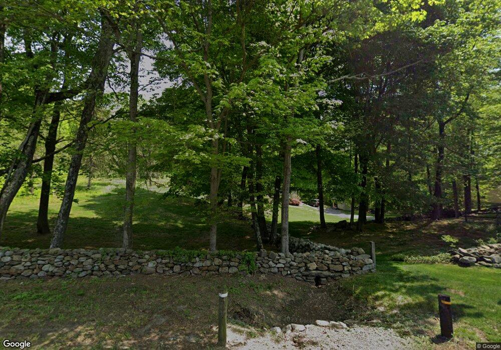
242 Adams Rd Easton, CT 06612
Estimated Value: $721,000 - $908,000
3
Beds
4
Baths
2,142
Sq Ft
$373/Sq Ft
Est. Value
About This Home
This home is located at 242 Adams Rd, Easton, CT 06612 and is currently estimated at $799,876, approximately $373 per square foot. 242 Adams Rd is a home located in Fairfield County with nearby schools including Samuel Staples Elementary School, Helen Keller Middle School, and Joel Barlow High School.
Ownership History
Date
Name
Owned For
Owner Type
Purchase Details
Closed on
Jul 26, 1993
Sold by
Corley William
Bought by
Frzop J Radovan and Nalbandian Carolyn
Current Estimated Value
Purchase Details
Closed on
Jul 22, 1991
Sold by
North Park Mtg Svc Tr
Bought by
Carley William L
Create a Home Valuation Report for This Property
The Home Valuation Report is an in-depth analysis detailing your home's value as well as a comparison with similar homes in the area
Home Values in the Area
Average Home Value in this Area
Purchase History
| Date | Buyer | Sale Price | Title Company |
|---|---|---|---|
| Frzop J Radovan | $303,000 | -- | |
| Nalbandian Frzop J | $303,000 | -- | |
| Carley William L | $274,000 | -- |
Source: Public Records
Mortgage History
| Date | Status | Borrower | Loan Amount |
|---|---|---|---|
| Open | Carley William L | $168,000 | |
| Open | Carley William L | $525,000 |
Source: Public Records
Tax History Compared to Growth
Tax History
| Year | Tax Paid | Tax Assessment Tax Assessment Total Assessment is a certain percentage of the fair market value that is determined by local assessors to be the total taxable value of land and additions on the property. | Land | Improvement |
|---|---|---|---|---|
| 2025 | $10,271 | $331,310 | $143,850 | $187,460 |
| 2024 | $9,787 | $331,310 | $143,850 | $187,460 |
| 2023 | $9,595 | $331,310 | $143,850 | $187,460 |
| 2022 | $9,422 | $331,310 | $143,850 | $187,460 |
| 2021 | $10,957 | $338,690 | $187,130 | $151,560 |
| 2020 | $10,499 | $338,690 | $187,130 | $151,560 |
| 2019 | $10,611 | $338,690 | $187,130 | $151,560 |
| 2018 | $10,628 | $338,690 | $187,130 | $151,560 |
| 2017 | $11,305 | $338,690 | $187,130 | $151,560 |
| 2016 | $11,469 | $372,240 | $217,060 | $155,180 |
| 2015 | $11,309 | $372,240 | $217,060 | $155,180 |
| 2014 | $11,130 | $372,240 | $217,060 | $155,180 |
Source: Public Records
Map
Nearby Homes
- 101 Northwood Dr
- 85 Westport Rd
- 63 Flat Rock Dr
- 34 Merrimac Dr
- 132 Merrimac Dr
- 305 Sport Hill Rd
- 897 Sport Hill Rd
- 67 Limerick Rd
- 68 High Ridge Rd
- 48 Sunset Rd
- 16 Manor Ln
- 83 Buck Hill Rd
- 39 Sunset Rd
- 38 Chester Rd
- 35 Sturbridge Rd
- 100 Honeysuckle Hill Ln
- 275 Dayton Rd
- 5288 Madison Ave
- 32 Adirondack Trail
- 93 Tersana Dr