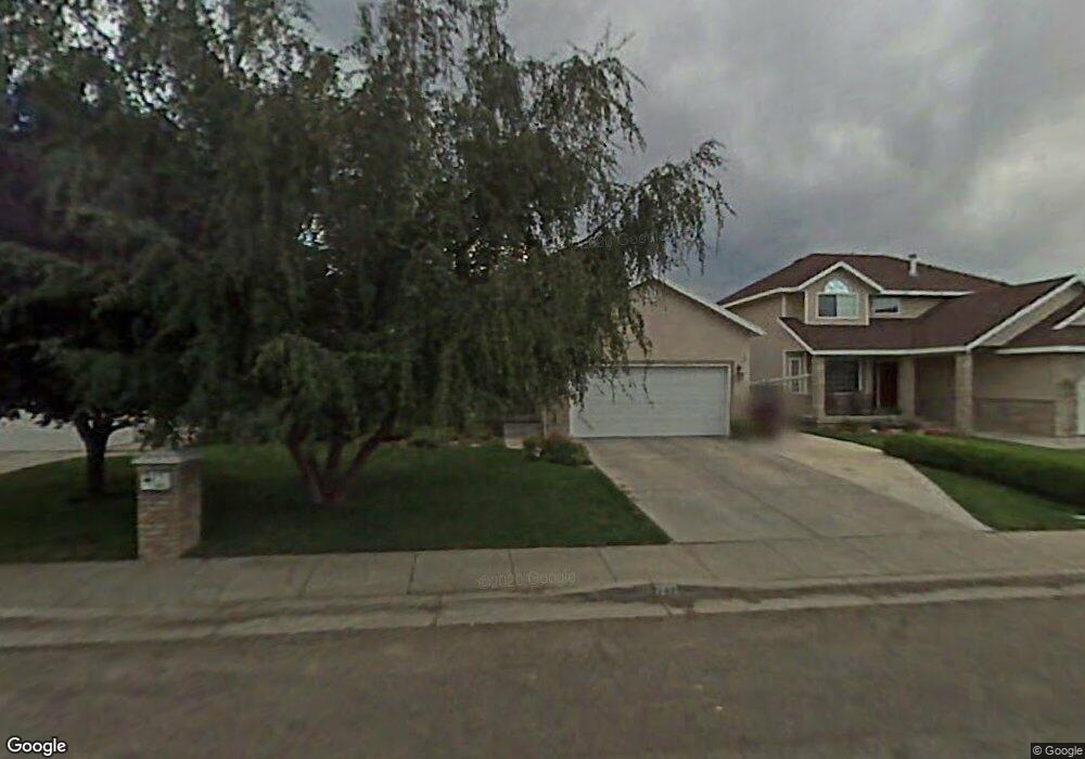
242 Ashbrook Cir Midvale, UT 84047
Estimated Value: $560,261 - $606,000
3
Beds
2
Baths
1,443
Sq Ft
$400/Sq Ft
Est. Value
About This Home
This home is located at 242 Ashbrook Cir, Midvale, UT 84047 and is currently estimated at $577,065, approximately $399 per square foot. 242 Ashbrook Cir is a home located in Salt Lake County with nearby schools including East Midvale Elementary School, Hillcrest High School, and Midvale Middle School.
Ownership History
Date
Name
Owned For
Owner Type
Purchase Details
Closed on
Jan 11, 2024
Sold by
Rigdon Alan T and Rigdon Kristene B
Bought by
Alan & Kris Rigdon Famil Trust
Current Estimated Value
Create a Home Valuation Report for This Property
The Home Valuation Report is an in-depth analysis detailing your home's value as well as a comparison with similar homes in the area
Home Values in the Area
Average Home Value in this Area
Purchase History
| Date | Buyer | Sale Price | Title Company |
|---|---|---|---|
| Alan & Kris Rigdon Famil Trust | -- | None Listed On Document |
Source: Public Records
Tax History
| Year | Tax Paid | Tax Assessment Tax Assessment Total Assessment is a certain percentage of the fair market value that is determined by local assessors to be the total taxable value of land and additions on the property. | Land | Improvement |
|---|---|---|---|---|
| 2025 | $3,158 | $546,100 | $165,000 | $381,100 |
| 2024 | $3,158 | $518,500 | $155,700 | $362,800 |
| 2023 | $2,923 | $475,600 | $148,000 | $327,600 |
| 2022 | $3,063 | $486,700 | $123,400 | $363,300 |
| 2021 | $2,670 | $362,800 | $108,200 | $254,600 |
| 2020 | $2,599 | $334,200 | $88,900 | $245,300 |
| 2019 | $2,503 | $313,600 | $83,800 | $229,800 |
| 2016 | $2,230 | $263,300 | $83,800 | $179,500 |
Source: Public Records
Map
Nearby Homes
- 283 E Vaughn Ln Unit 12
- 6720 S Vaughn Ln Unit 20
- 6718 S Vaughn Ln Unit 21
- 7033 S 300 E
- 6717 S Vaughn Ln Unit 9
- 6716 S Vaughn Ln Unit 22
- 6715 S Vaughn Ln Unit 8
- 6714 S Vaughn Ln Unit 23
- 7045 S 300 E
- 195 E 7060 S
- 7097 S 230 E
- 6954 S 85 E
- 512 E Larchwood Dr
- 221 E Fort Union Blvd
- 7045 S 65 E
- 6874 S 595 E Unit 66
- 7218 S Viansa Ct
- 7187 S 420 E
- 7214 S 160 E Unit 1
- 7222 S 160 E Unit 3
- 236 Ashbrook Cir
- 250 Ashbrook Cir
- 232 Ashbrook Cir
- 260 Ashbrook Cir
- 228 Ashbrook Cir
- 228 E Ashbrook Cir
- 268 Ashbrook Cir
- 247 E Ashbrook Cir
- 247 Ashbrook Cir
- 245 Ashbrook Cir
- 253 Ashbrook Cir
- 224 E Ashbrook Cir
- 239 Ashbrook Cir
- 274 Ashbrook Cir
- 224 Ashbrook Cir
- 255 Ashbrook Cir
- 237 Ashbrook Cir
- 261 E Ashbrook Cir
- 261 Ashbrook Cir Unit 7A
- 231 E Ashbrook Cir
Your Personal Tour Guide
Ask me questions while you tour the home.