242 Barnstable Dr Wyckoff, NJ 07481
Estimated Value: $1,073,000 - $1,675,000
--
Bed
--
Bath
3,428
Sq Ft
$375/Sq Ft
Est. Value
About This Home
This home is located at 242 Barnstable Dr, Wyckoff, NJ 07481 and is currently estimated at $1,284,184, approximately $374 per square foot. 242 Barnstable Dr is a home located in Bergen County with nearby schools including Sicomac Elementary School, Dwight D Eisenhower Middle School, and Ramapo High School.
Ownership History
Date
Name
Owned For
Owner Type
Purchase Details
Closed on
Jun 5, 2007
Sold by
Bauer Frank D and Bauer Teresa
Bought by
Schotz Edward M and Schotz Marilyn R
Current Estimated Value
Purchase Details
Closed on
Jun 21, 2005
Sold by
Debello Patricia De
Bought by
Bauer Frank and Bauer Teresa
Home Financials for this Owner
Home Financials are based on the most recent Mortgage that was taken out on this home.
Original Mortgage
$920,000
Interest Rate
5.73%
Purchase Details
Closed on
Jan 5, 1994
Sold by
Epple Dorothy and Gaboury Karen
Bought by
Debello Patricia De
Create a Home Valuation Report for This Property
The Home Valuation Report is an in-depth analysis detailing your home's value as well as a comparison with similar homes in the area
Home Values in the Area
Average Home Value in this Area
Purchase History
| Date | Buyer | Sale Price | Title Company |
|---|---|---|---|
| Schotz Edward M | $1,237,500 | -- | |
| Bauer Frank | $1,150,000 | -- | |
| Debello Patricia De | $567,000 | -- |
Source: Public Records
Mortgage History
| Date | Status | Borrower | Loan Amount |
|---|---|---|---|
| Previous Owner | Bauer Frank | $920,000 |
Source: Public Records
Tax History Compared to Growth
Tax History
| Year | Tax Paid | Tax Assessment Tax Assessment Total Assessment is a certain percentage of the fair market value that is determined by local assessors to be the total taxable value of land and additions on the property. | Land | Improvement |
|---|---|---|---|---|
| 2025 | $16,043 | $822,700 | $565,000 | $257,700 |
| 2024 | $15,574 | $822,700 | $565,000 | $257,700 |
| 2023 | $15,154 | $822,700 | $565,000 | $257,700 |
| 2022 | $15,154 | $822,700 | $565,000 | $257,700 |
| 2021 | $14,489 | $822,700 | $565,000 | $257,700 |
| 2020 | $18,152 | $989,200 | $565,000 | $424,200 |
| 2019 | $17,905 | $989,200 | $565,000 | $424,200 |
| 2018 | $17,628 | $989,200 | $565,000 | $424,200 |
| 2017 | $17,410 | $989,200 | $565,000 | $424,200 |
| 2016 | $17,133 | $989,200 | $565,000 | $424,200 |
| 2015 | $16,945 | $981,700 | $565,000 | $416,700 |
| 2014 | $14,961 | $942,700 | $625,000 | $317,700 |
Source: Public Records
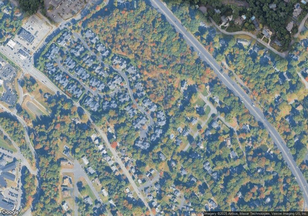
Map
Nearby Homes
- 144 Emeline Dr
- 484 Caldwell Dr
- 300 Merrywood Dr
- 427 Grandview Ave
- 400 Goffle Hill Rd
- 113 Highview Ter Land
- 11 Surrey Place Unit 1
- 11 Surrey Place
- 113 Highview Terrace
- 120 Ravine Ave
- 535 Lafayette Ave
- 374 Cedar Hill Ave
- 0 Highview Terrace
- 1079 Lafayette Ave Extension
- 96 Highland Rd
- 70 Highland Rd
- 732 Terrace Heights
- 80 Mary Ann Ln
- 352 Amherst St
- 492 Manchester Ave
- 244 Barnstable Dr
- 246 Barnstable Dr Unit 246
- 238 Barnstable Dr
- 248 Barnstable Dr
- 236 Barnstable Dr
- 229 Barnstable Dr
- 234 Barnstable Dr
- 232 Barnstable Dr
- 227 Barnstable Dr
- 252 Barnstable Dr
- 243 Barnstable Dr
- 225 Barnstable Dr
- 254 Barnstable Dr
- 245 Barnstable Dr
- 228 Barnstable Dr
- 223 Barnstable Dr
- 247 Barnstable Dr
- 226 Barnstable Dr
- 256 Barnstable Dr
- 125 Brewster Rd