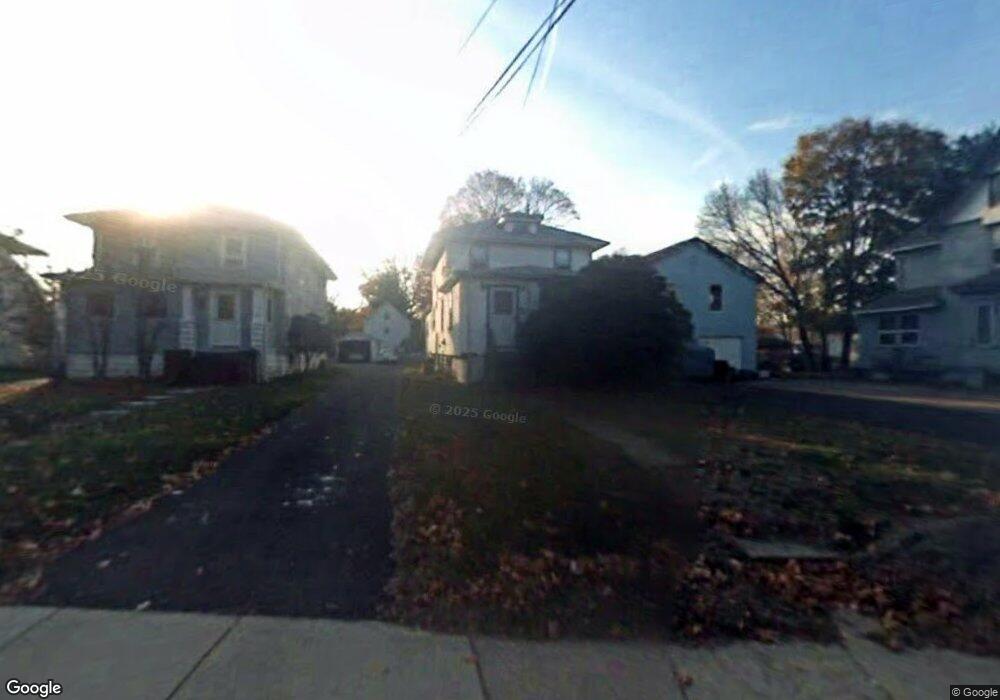
242 Bellevue Ave Penndel, PA 19047
Estimated Value: $380,000 - $433,000
3
Beds
1
Bath
1,978
Sq Ft
$200/Sq Ft
Est. Value
About This Home
This home is located at 242 Bellevue Ave, Penndel, PA 19047 and is currently estimated at $395,381, approximately $199 per square foot. 242 Bellevue Ave is a home located in Bucks County with nearby schools including Hoover Elementary School, Maple Point Middle School, and Neshaminy High School.
Ownership History
Date
Name
Owned For
Owner Type
Purchase Details
Closed on
Sep 6, 2007
Sold by
Rambo Family Llp
Bought by
Diabelko Adam and Diabelko Kevin
Current Estimated Value
Home Financials for this Owner
Home Financials are based on the most recent Mortgage that was taken out on this home.
Original Mortgage
$100,000
Outstanding Balance
$63,734
Interest Rate
6.7%
Mortgage Type
Purchase Money Mortgage
Estimated Equity
$331,647
Purchase Details
Closed on
Mar 7, 2003
Sold by
Estate Of Charlotte A Rambo and Cox Maryanne B
Bought by
Rambo Family Llp
Create a Home Valuation Report for This Property
The Home Valuation Report is an in-depth analysis detailing your home's value as well as a comparison with similar homes in the area
Home Values in the Area
Average Home Value in this Area
Purchase History
| Date | Buyer | Sale Price | Title Company |
|---|---|---|---|
| Diabelko Adam | $140,000 | None Available | |
| Rambo Family Llp | $126,000 | -- |
Source: Public Records
Mortgage History
| Date | Status | Borrower | Loan Amount |
|---|---|---|---|
| Open | Diabelko Adam | $100,000 |
Source: Public Records
Tax History Compared to Growth
Tax History
| Year | Tax Paid | Tax Assessment Tax Assessment Total Assessment is a certain percentage of the fair market value that is determined by local assessors to be the total taxable value of land and additions on the property. | Land | Improvement |
|---|---|---|---|---|
| 2025 | $3,576 | $16,000 | $2,320 | $13,680 |
| 2024 | $3,576 | $16,000 | $2,320 | $13,680 |
| 2023 | $3,544 | $16,000 | $2,320 | $13,680 |
| 2022 | $3,454 | $16,000 | $2,320 | $13,680 |
| 2021 | $3,502 | $16,000 | $2,320 | $13,680 |
| 2020 | $3,510 | $16,000 | $2,320 | $13,680 |
| 2019 | $3,436 | $16,000 | $2,320 | $13,680 |
| 2018 | $3,369 | $16,000 | $2,320 | $13,680 |
| 2017 | $3,288 | $16,000 | $2,320 | $13,680 |
| 2016 | $3,233 | $16,000 | $2,320 | $13,680 |
| 2015 | -- | $16,000 | $2,320 | $13,680 |
| 2014 | -- | $16,000 | $2,320 | $13,680 |
Source: Public Records
Map
Nearby Homes
- 24 W Lincoln Hwy
- 56 W Lincoln Hwy
- 547 Hulmeville Ave
- 790 E Parker St Unit A1
- 0 Fir Ave
- 590 Gables Ct
- 681 Pennhill Dr
- 731 Highland Ave
- 827 Hulmeville Rd
- 927 Bellevue Ave
- L:070 Trenton Rd
- 11 Dolphin Rd
- 6504 Timothy Ct
- 565 Hulmeville Rd
- 301 Main St
- 301 Snowball Dr
- 14 Harp Rd
- 2823 Avenue E
- 283 Snowball Dr
- 18 Harvest Rd
- 248 Bellevue Ave
- 234 Bellevue Ave
- 22 W Woodland Ave
- 218 Bellevue Ave
- 36 W Woodland Ave
- 212 Bellevue Ave
- 212 Bellevue Ave
- 39 Crescent St
- 239 Centre St
- 47 Crescent St
- 204 Bellevue Ave
- 233 Centre St
- 317 Bellevue Ave
- 57 Crescent St
- 46 W Woodland Ave
- 37 W Woodland Ave
- 225 Centre St
- 25 E Woodland Ave
- 63 Crescent St
- 41 W Woodland Ave