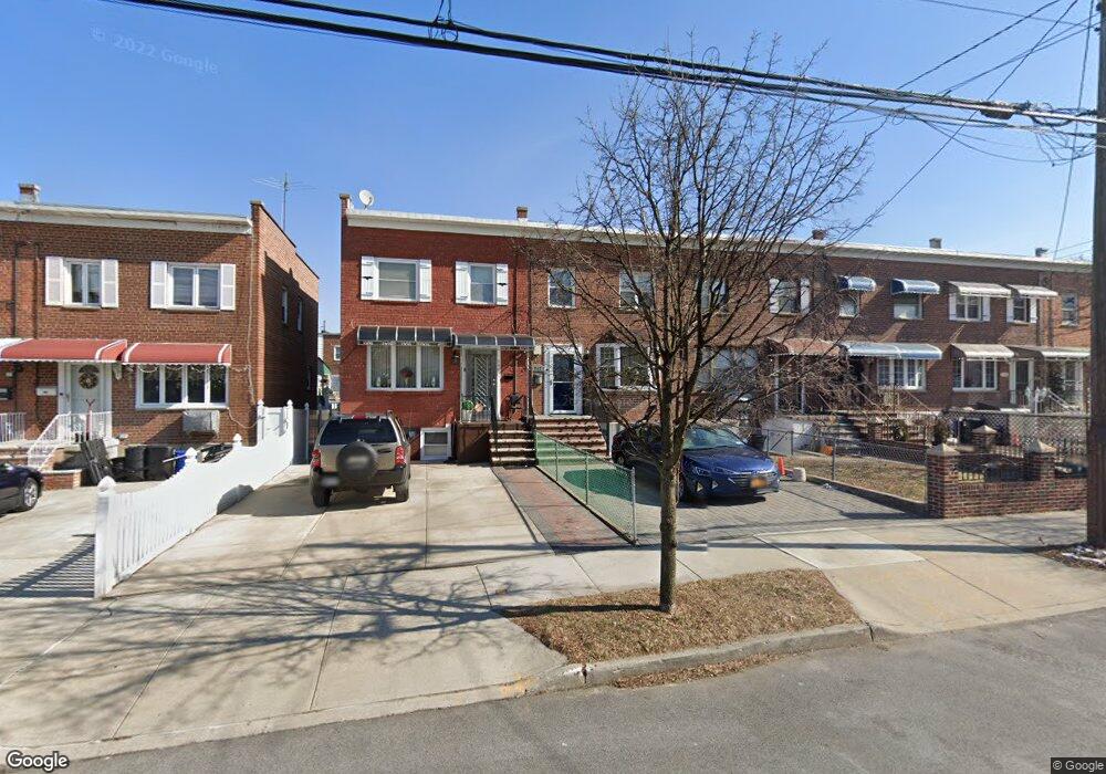
242 Brinsmade Ave Bronx, NY 10465
Throgs Neck-Edgewater Park NeighborhoodEstimated Value: $615,000 - $675,000
3
Beds
2
Baths
1,080
Sq Ft
$588/Sq Ft
Est. Value
About This Home
This home is located at 242 Brinsmade Ave, Bronx, NY 10465 and is currently estimated at $635,397, approximately $588 per square foot. 242 Brinsmade Ave is a home located in Bronx County with nearby schools including P.S. 72 - Dr. William Dorney, Herbert H Lehman High School, and St. Frances de Chantal School.
Ownership History
Date
Name
Owned For
Owner Type
Purchase Details
Closed on
Dec 26, 2019
Sold by
Campos Richard and Caprio Melissa
Bought by
Carpio and Lopez Melissa
Current Estimated Value
Home Financials for this Owner
Home Financials are based on the most recent Mortgage that was taken out on this home.
Original Mortgage
$9,278
Outstanding Balance
$8,218
Interest Rate
3.73%
Mortgage Type
Unknown
Estimated Equity
$627,179
Purchase Details
Closed on
Dec 23, 2009
Sold by
Demonte Lucille and Demonte Executor
Bought by
Campos Richard and Caprio Melissa
Home Financials for this Owner
Home Financials are based on the most recent Mortgage that was taken out on this home.
Original Mortgage
$360,843
Interest Rate
4.78%
Mortgage Type
Purchase Money Mortgage
Create a Home Valuation Report for This Property
The Home Valuation Report is an in-depth analysis detailing your home's value as well as a comparison with similar homes in the area
Home Values in the Area
Average Home Value in this Area
Purchase History
| Date | Buyer | Sale Price | Title Company |
|---|---|---|---|
| Carpio | -- | -- | |
| Campos Richard | $367,500 | -- |
Source: Public Records
Mortgage History
| Date | Status | Borrower | Loan Amount |
|---|---|---|---|
| Open | Carpio | $9,278 | |
| Previous Owner | Campos Richard | $360,843 |
Source: Public Records
Tax History Compared to Growth
Tax History
| Year | Tax Paid | Tax Assessment Tax Assessment Total Assessment is a certain percentage of the fair market value that is determined by local assessors to be the total taxable value of land and additions on the property. | Land | Improvement |
|---|---|---|---|---|
| 2025 | $5,183 | $27,354 | $6,679 | $20,675 |
| 2024 | $5,183 | $25,806 | $6,574 | $19,232 |
| 2023 | $4,944 | $24,346 | $6,045 | $18,301 |
| 2022 | $4,585 | $33,960 | $8,820 | $25,140 |
| 2021 | $4,834 | $29,700 | $8,820 | $20,880 |
| 2020 | $4,825 | $27,660 | $8,820 | $18,840 |
| 2019 | $4,499 | $28,440 | $8,820 | $19,620 |
| 2018 | $3,838 | $20,288 | $6,613 | $13,675 |
| 2017 | $3,602 | $19,140 | $8,820 | $10,320 |
| 2016 | $3,922 | $21,168 | $8,502 | $12,666 |
| 2015 | $2,553 | $21,115 | $9,668 | $11,447 |
| 2014 | $2,553 | $19,920 | $9,780 | $10,140 |
Source: Public Records
Map
Nearby Homes
- 238 Swinton Ave
- 235 Quincy Ave
- 266 Swinton Ave
- 2737 Lawton Ave
- 189 Swinton Ave
- 2819 Collis Place
- 2832 Harding Ave
- 2834 Harding Ave
- 180 Swinton Ave
- 283 Calhoun Ave
- 269 Balcom Ave
- 310 Huntington Ave
- 2857 Lawton Ave
- 2730 Schurz Ave Unit N3 & N4
- 2819 Schurz Ave
- 338 Balcom Ave
- 244 Revere Ave
- 210 Buttrick Ave
- 149 Revere Ave
- 4246 E Tremont Ave Unit MF
- 240 Brinsmade Ave
- 238 Brinsmade Ave
- 236 Brinsmade Ave
- 244 Brinsmade Ave
- 234 Brinsmade Ave
- 246 Brinsmade Ave
- 248 Brinsmade Ave
- 250 Brinsmade Ave
- 245 Swinton Ave
- 243 Swinton Ave
- 247 Swinton Ave
- 241 Swinton Ave
- 249 Swinton Ave
- 230 Brinsmade Ave
- 251 Swinton Ave
- 239 Swinton Ave
- 252 Brinsmade Ave
- 237 Swinton Ave
- 235 Swinton Ave
- 255 Swinton Ave