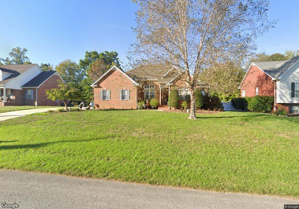
242 Brookside Dr Cookeville, TN 38506
Estimated Value: $409,655 - $435,000
About This Home
This home is located at 242 Brookside Dr, Cookeville, TN 38506 and is currently estimated at $422,664, approximately $214 per square foot. 242 Brookside Dr is a home located in Putnam County with nearby schools including Algood Middle School, Algood Elementary School, and Cookeville High School.
Ownership History
We collect this data history from publicly available records. To have your information removed, we recommend requesting removal directly through your county’s website.
Purchase Details
Home Financials for this Owner
Home Financials are based on the most recent Mortgage that was taken out on this home.Purchase Details
Purchase Details
Purchase Details
Purchase Details
Purchase Details
Home Values in the Area
Average Home Value in this Area
Purchase History
We collect this data history from publicly available records. To have your information removed, we recommend requesting removal directly through your county’s website.
| Date | Buyer | Sale Price | Title Company |
|---|---|---|---|
| $199,000 | -- | ||
| $21,000 | -- | ||
| $22,000 | -- | ||
| $450,000 | -- | ||
| -- | -- | ||
| -- | -- |
Mortgage History
We collect this data history from publicly available records. To have your information removed, we recommend requesting removal directly through your county’s website.
| Date | Status | Borrower | Loan Amount |
|---|---|---|---|
| Open | $134,000 |
Tax History
We collect this data history from publicly available records. To have your information removed, we recommend requesting removal directly through your county’s website.
| Year | Tax Paid | Tax Assessment Tax Assessment Total Assessment is a certain percentage of the fair market value that is determined by local assessors to be the total taxable value of land and additions on the property. | Land | Improvement |
|---|---|---|---|---|
| 2025 | -- | $70,000 | $8,750 | $61,250 |
| 2024 | -- | $70,000 | $8,750 | $61,250 |
| 2023 | $1,862 | $70,000 | $8,750 | $61,250 |
| 2022 | $1,730 | $70,000 | $8,750 | $61,250 |
| 2021 | $1,984 | $70,000 | $8,750 | $61,250 |
| 2020 | $1,501 | $70,000 | $8,750 | $61,250 |
| 2019 | $1,727 | $51,300 | $7,500 | $43,800 |
| 2018 | $1,651 | $51,300 | $7,500 | $43,800 |
| 2017 | $1,651 | $51,300 | $7,500 | $43,800 |
| 2016 | $1,663 | $51,300 | $7,500 | $43,800 |
| 2015 | $1,702 | $51,300 | $7,500 | $43,800 |
| 2014 | $1,712 | $51,603 | $0 | $0 |
Map
- 5422 E Mason Way
- 242 Dry Valley Rd
- 74 Gresham Dr
- 133 Joy Ln
- 251 Haven Ln
- 149 Joy Ln
- 0 Haven Ln Unit 16
- 0 Haven Ln Unit 17
- 127 Maxwell St
- 129 Maxwell St
- 779 Coveview Cir
- 143 Virginia St
- 3440 Plantation Dr
- 151 3rd Ave
- 159 2nd Ave S
- 3505 Heritage Green Way
- 3533 Burton Cove Rd
- 936 N Plantation Dr
- 3547 Shannon Village Rd
- 109 Weston Dr
- 248 Brookside Dr
- 254 Brookside Dr
- 260 Brookside Dr
- 236 Brookside Dr
- 243 Brookside Dr
- 249 Brookside Dr
- 255 Brookside Dr
- 266 Brookside Dr
- 230 Brookside Dr
- 231 Brookside Dr
- 261 Brookside Dr
- 347 Brookside Dr
- 343 Brookside Dr
- 353 Brookside Dr
- 225 Brookside Dr
- 272 Brookside Dr
- 224 Brookside Dr
- 339 Brookside Dr
- 267 Brookside Dr
- 365 Brookside Dr
Ask me questions while you tour the home.