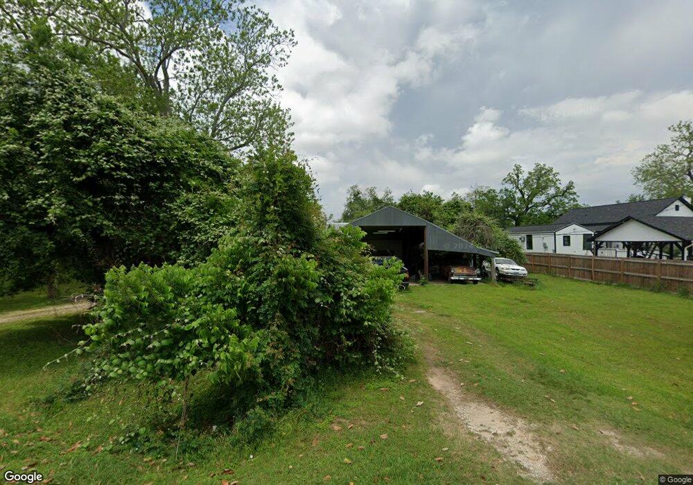
242 County Road 655 Brazoria, TX 77422
Estimated Value: $271,000 - $365,000
3
Beds
2
Baths
1,508
Sq Ft
$216/Sq Ft
Est. Value
About This Home
This home is located at 242 County Road 655, Brazoria, TX 77422 and is currently estimated at $325,398, approximately $215 per square foot. 242 County Road 655 is a home located in Brazoria County.
Ownership History
Date
Name
Owned For
Owner Type
Purchase Details
Closed on
Dec 4, 2009
Sold by
Slaughter James L and Slaughter Frances M
Bought by
Poff Kirk M
Current Estimated Value
Home Financials for this Owner
Home Financials are based on the most recent Mortgage that was taken out on this home.
Original Mortgage
$145,860
Outstanding Balance
$95,674
Interest Rate
5.01%
Mortgage Type
New Conventional
Estimated Equity
$229,724
Purchase Details
Closed on
Mar 13, 1991
Sold by
Tolar Miriam
Bought by
Slaughter James L and Slaughter Frances M
Create a Home Valuation Report for This Property
The Home Valuation Report is an in-depth analysis detailing your home's value as well as a comparison with similar homes in the area
Home Values in the Area
Average Home Value in this Area
Purchase History
| Date | Buyer | Sale Price | Title Company |
|---|---|---|---|
| Poff Kirk M | -- | American Title Company | |
| Slaughter James L | -- | None Available | |
| Slaughter James L | -- | None Available |
Source: Public Records
Mortgage History
| Date | Status | Borrower | Loan Amount |
|---|---|---|---|
| Open | Poff Kirk M | $145,860 |
Source: Public Records
Tax History Compared to Growth
Tax History
| Year | Tax Paid | Tax Assessment Tax Assessment Total Assessment is a certain percentage of the fair market value that is determined by local assessors to be the total taxable value of land and additions on the property. | Land | Improvement |
|---|---|---|---|---|
| 2025 | $5,577 | $378,230 | $79,050 | $299,180 |
| 2023 | $5,577 | $401,960 | $94,860 | $307,100 |
| 2022 | $5,604 | $355,050 | $94,860 | $260,190 |
| 2021 | $4,820 | $287,500 | $56,470 | $231,030 |
| 2020 | $5,015 | $279,680 | $72,880 | $206,800 |
| 2019 | $4,304 | $235,090 | $35,620 | $199,470 |
| 2018 | $4,063 | $220,950 | $35,620 | $185,330 |
| 2017 | $3,732 | $220,950 | $35,620 | $185,330 |
| 2016 | $3,392 | $220,950 | $35,620 | $185,330 |
| 2015 | $2,321 | $194,790 | $29,680 | $165,110 |
| 2014 | $2,321 | $153,360 | $11,490 | $141,870 |
Source: Public Records
Map
Nearby Homes
- 145
- 441 County Road 849
- 519 County Road 849
- 10186 County Road 400
- 338 County Road 912a
- 549 E New York St
- 307 Avenue G
- 706 E New York St
- 4773 County Road 652
- 0 Pearl St
- 0 County Road 400 Unit 7151374
- 409 Carlton St
- 523 Lazy Ln
- 0 Travis St
- 411 Travis St
- 0 Austin St
- 401 E Texas St
- 0 N Market St
- 310 E Texas St
- 232 Magnolia St
- 261 County Road 655
- 261 County Road 655
- 219 County Road 655
- 197 County Road 655
- 186 County Road 655
- 281 County Road 655
- 185 County Road 655
- 301 County Road 655
- 306 County Road 655
- 151 County Road 655
- 128 County Road 655
- 128 Cr 655
- 133 County Road 655
- 123 County Road 655
- 115 County Road 655
- 176 County Road 849
- 9798 County Road 400
- 0 County Road 849 Tract 12
- 0 Cr 849
- 0 Cr 400 Tract 3