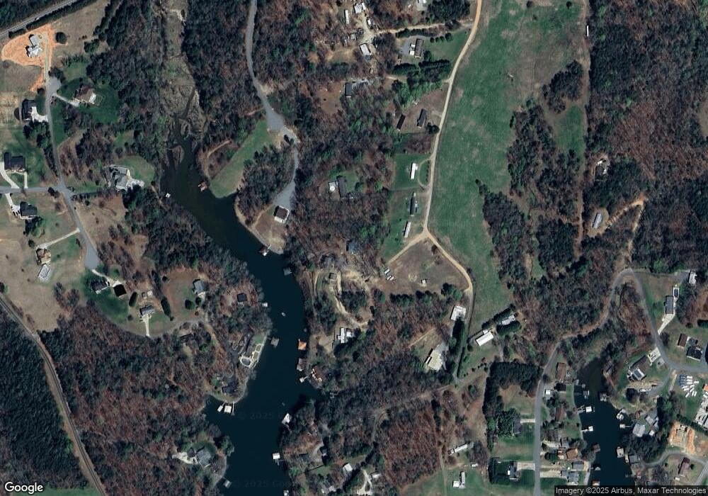
242 Crowson Rd Taylorsville, NC 28681
Lake Hickory NeighborhoodEstimated Value: $420,000 - $722,000
3
Beds
3
Baths
2,800
Sq Ft
$221/Sq Ft
Est. Value
About This Home
This home is located at 242 Crowson Rd, Taylorsville, NC 28681 and is currently estimated at $618,930, approximately $221 per square foot. 242 Crowson Rd is a home located in Alexander County with nearby schools including Wittenburg Elementary School, West Alexander Middle School, and Alexander Central High School.
Ownership History
Date
Name
Owned For
Owner Type
Purchase Details
Closed on
Aug 1, 2013
Sold by
Bare Robert Glenn and Bare Tracy W
Bought by
Bare Robert Glenn and Bare Tracy W
Current Estimated Value
Purchase Details
Closed on
Sep 2, 2011
Sold by
Hash Albert Leonard and Hash Doris R
Bought by
Bare Robert Glenn
Create a Home Valuation Report for This Property
The Home Valuation Report is an in-depth analysis detailing your home's value as well as a comparison with similar homes in the area
Home Values in the Area
Average Home Value in this Area
Purchase History
| Date | Buyer | Sale Price | Title Company |
|---|---|---|---|
| Bare Robert Glenn | -- | None Available | |
| Bare Robert Glenn | $368,000 | None Available |
Source: Public Records
Tax History Compared to Growth
Tax History
| Year | Tax Paid | Tax Assessment Tax Assessment Total Assessment is a certain percentage of the fair market value that is determined by local assessors to be the total taxable value of land and additions on the property. | Land | Improvement |
|---|---|---|---|---|
| 2025 | $3,859 | $520,803 | $150,353 | $370,450 |
| 2024 | $3,791 | $520,803 | $150,353 | $370,450 |
| 2023 | $4,416 | $520,803 | $150,353 | $370,450 |
| 2022 | $2,886 | $325,351 | $136,684 | $188,667 |
| 2021 | $2,889 | $325,351 | $136,684 | $188,667 |
| 2020 | $2,759 | $325,351 | $136,684 | $188,667 |
| 2019 | $2,759 | $325,351 | $136,684 | $188,667 |
| 2018 | $2,726 | $325,351 | $136,684 | $188,667 |
| 2017 | $2,726 | $325,351 | $136,684 | $188,667 |
| 2016 | $2,726 | $325,351 | $136,684 | $188,667 |
| 2015 | $2,726 | $325,351 | $136,684 | $188,667 |
| 2014 | $2,726 | $237,368 | $78,570 | $158,798 |
| 2012 | -- | $237,368 | $78,570 | $158,798 |
Source: Public Records
Map
Nearby Homes
- 157 Franklin Ln
- 12+13 Franklin Ln Unit 12+13
- 349 Taylorsville Beach Ct
- 510 Ben Eller Ln
- 166 Mull Dr
- 2022 Friendship Church Rd
- 7133 Church Rd
- 6428 Huntington Ln
- 6343 Huntington Ln Unit 1
- 6311 St Peters Church Rd
- 0000 Shorty Miller Rd
- 51 Windsor Dr
- 6256 Monford Dr
- 4506 Rink Dam Rd
- 4202 54th Ave NE
- 9 Tadpole Ln
- 79 Rachels Ln
- 4164 54th Ave NE
- 6293 Karen Dr
- 171 Houston Loop
- 244 Crowson Rd
- Lot 4 Kathryn Ln
- Lot 5 Kathryn Ln
- 220 Crowson Rd
- 204 A L Fox Rd
- Lot 12 Kathryn Ln
- Lot 2 Kathryn Ln
- 360 Crowson Rd
- 142 A L Fox Rd
- 00 Kathryn Ln
- 362 Crowson Rd
- Lot 11 Kathryn Ln Unit 11
- Lot 13 Kathryn Ln
- Lot 13 Kathryn Ln Unit 13
- 105 A L Fox Rd
- None Kathryn Ln Unit lots1,2,4,6,8-8A,10,
- 197 Kathryn Ln
- Lot 6 Kathryn Ln
- Lot 8 & 8A Kathryn Ln
- 398 Crowson Rd
