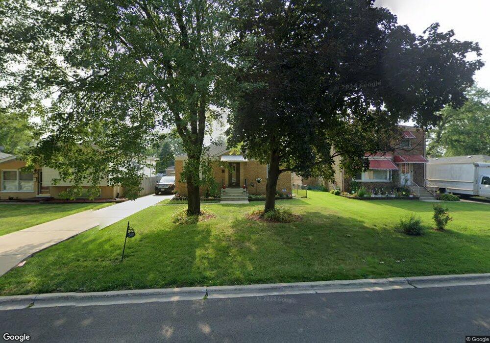
242 High Ridge Rd Hillside, IL 60162
Estimated Value: $255,000 - $298,000
2
Beds
2
Baths
863
Sq Ft
$318/Sq Ft
Est. Value
About This Home
This home is located at 242 High Ridge Rd, Hillside, IL 60162 and is currently estimated at $274,703, approximately $318 per square foot. 242 High Ridge Rd is a home located in Cook County with nearby schools including Hillside Elementary School and Proviso West High School.
Ownership History
Date
Name
Owned For
Owner Type
Purchase Details
Closed on
Aug 27, 2018
Sold by
Loeffler Gary
Bought by
Pete Davis Malyncia M
Current Estimated Value
Home Financials for this Owner
Home Financials are based on the most recent Mortgage that was taken out on this home.
Original Mortgage
$175,266
Outstanding Balance
$154,512
Interest Rate
5.12%
Mortgage Type
FHA
Estimated Equity
$120,191
Purchase Details
Closed on
May 17, 2002
Sold by
Murray William J and Murray Beatrice H
Bought by
Loeffler Gary
Home Financials for this Owner
Home Financials are based on the most recent Mortgage that was taken out on this home.
Original Mortgage
$90,000
Interest Rate
7%
Create a Home Valuation Report for This Property
The Home Valuation Report is an in-depth analysis detailing your home's value as well as a comparison with similar homes in the area
Home Values in the Area
Average Home Value in this Area
Purchase History
| Date | Buyer | Sale Price | Title Company |
|---|---|---|---|
| Pete Davis Malyncia M | $178,500 | Premier Title | |
| Loeffler Gary | $130,000 | Premier Title |
Source: Public Records
Mortgage History
| Date | Status | Borrower | Loan Amount |
|---|---|---|---|
| Open | Pete Davis Malyncia M | $175,266 | |
| Previous Owner | Loeffler Gary | $90,000 |
Source: Public Records
Tax History Compared to Growth
Tax History
| Year | Tax Paid | Tax Assessment Tax Assessment Total Assessment is a certain percentage of the fair market value that is determined by local assessors to be the total taxable value of land and additions on the property. | Land | Improvement |
|---|---|---|---|---|
| 2024 | $6,693 | $22,000 | $3,589 | $18,411 |
| 2023 | $5,611 | $22,000 | $3,589 | $18,411 |
| 2022 | $5,611 | $17,646 | $3,100 | $14,546 |
| 2021 | $5,528 | $17,644 | $3,099 | $14,545 |
| 2020 | $5,457 | $17,644 | $3,099 | $14,545 |
| 2019 | $2,815 | $10,449 | $2,773 | $7,676 |
| 2018 | $2,733 | $10,449 | $2,773 | $7,676 |
| 2017 | $2,648 | $10,449 | $2,773 | $7,676 |
| 2016 | $2,341 | $8,617 | $2,447 | $6,170 |
| 2015 | $3,209 | $11,294 | $2,447 | $8,847 |
| 2014 | $3,148 | $11,294 | $2,447 | $8,847 |
| 2013 | $2,972 | $11,638 | $2,447 | $9,191 |
Source: Public Records
Map
Nearby Homes
- 335 Buckthorn Ln
- 4718 Butterfield Rd
- 502 Clayton Rd
- 514 Iroquois Rd
- 520 N Wolf Rd Unit 301
- 605 N Wolf Rd Unit B9
- 605 N Wolf Rd Unit C12
- 549 51st Ave
- 529 49th Ave
- 612 N Hillside Ave
- 134 S Maple Ave
- 408 51st Ave
- 114 Oak Ridge Ave
- 543 Geneva Ave Unit 104A
- 1509 Morris Ave
- 425 47th Ave
- 417 Hyde Park Ave
- 429 Geneva Ave
- 241 51st Ave
- 5628 W Hawthorne Ave
- 246 High Ridge Rd
- 238 High Ridge Rd
- 234 High Ridge Rd
- 250 High Ridge Rd
- 243 Iroquois Rd
- 247 Iroquois Rd
- 239 Iroquois Rd
- 230 High Ridge Rd
- 304 High Ridge Rd
- 251 Iroquois Rd
- 235 Iroquois Rd
- 241 High Ridge Rd
- 245 High Ridge Rd
- 226 High Ridge Rd
- 301 Iroquois Rd
- 229 Iroquois Rd
- 237 High Ridge Rd
- 308 High Ridge Rd
- 249 High Ridge Rd
- 233 High Ridge Rd