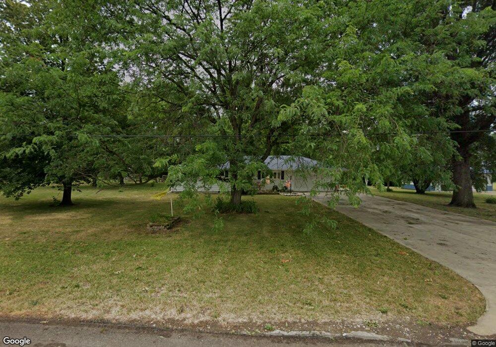
242 High St Brookfield, MO 64628
Estimated Value: $141,000 - $238,279
3
Beds
1
Bath
1,762
Sq Ft
$104/Sq Ft
Est. Value
About This Home
This home is located at 242 High St, Brookfield, MO 64628 and is currently estimated at $184,070, approximately $104 per square foot. 242 High St is a home with nearby schools including Brookfield Elementary School, Brookfield Middle School, and Brookfield High School.
Create a Home Valuation Report for This Property
The Home Valuation Report is an in-depth analysis detailing your home's value as well as a comparison with similar homes in the area
Home Values in the Area
Average Home Value in this Area
Tax History
| Year | Tax Paid | Tax Assessment Tax Assessment Total Assessment is a certain percentage of the fair market value that is determined by local assessors to be the total taxable value of land and additions on the property. | Land | Improvement |
|---|---|---|---|---|
| 2025 | $1,154 | $19,285 | $1,330 | $17,955 |
| 2024 | $12 | $18,430 | $1,330 | $17,100 |
| 2023 | $1,150 | $18,430 | $1,330 | $17,100 |
| 2022 | $1,132 | $18,069 | $1,330 | $16,739 |
| 2021 | $1,092 | $18,069 | $1,330 | $16,739 |
| 2020 | $1,134 | $18,069 | $1,330 | $16,739 |
| 2019 | $1,134 | $18,069 | $1,330 | $16,739 |
| 2018 | $1,123 | $17,974 | $2,812 | $15,162 |
| 2015 | -- | $17,974 | $2,812 | $15,162 |
| 2011 | -- | $76,100 | $14,200 | $61,900 |
Source: Public Records
Map
Nearby Homes
- 806 S Brunswick St
- 547 Harrison St
- 304 E Canal St
- 26153 Image Rd
- 131 Silver Ln
- 26049 Image Rd
- 26576 Image Rd
- 415 S Livingston St
- 0 S State St
- 117 N Main St
- 303 Shelby St
- 21145 Highway 5
- 317 Macon St
- 316 Macon St
- 0 W Wood St
- 417 Laclede Ave
- 721 Lincoln St
- 1007 Country Side Dr
- 431 Peck St
- 27022 Index Dr
Your Personal Tour Guide
Ask me questions while you tour the home.