242 High View Dr Denison, TX 75020
Estimated Value: $381,302 - $443,000
Studio
--
Bath
2,003
Sq Ft
$204/Sq Ft
Est. Value
About This Home
This home is located at 242 High View Dr, Denison, TX 75020 and is currently estimated at $409,326, approximately $204 per square foot. 242 High View Dr is a home located in Grayson County with nearby schools including Percy W. Neblett Elementary School, Dillingham Intermediate School, and Piner Middle School.
Ownership History
Date
Name
Owned For
Owner Type
Purchase Details
Closed on
Jul 31, 2019
Sold by
Charifmal Osman Mohamad
Bought by
Chahine Hanaa M
Current Estimated Value
Home Financials for this Owner
Home Financials are based on the most recent Mortgage that was taken out on this home.
Original Mortgage
$141,850
Outstanding Balance
$124,489
Interest Rate
3.8%
Mortgage Type
New Conventional
Estimated Equity
$284,837
Create a Home Valuation Report for This Property
The Home Valuation Report is an in-depth analysis detailing your home's value as well as a comparison with similar homes in the area
Home Values in the Area
Average Home Value in this Area
Purchase History
| Date | Buyer | Sale Price | Title Company |
|---|---|---|---|
| Chahine Hanaa M | -- | None Available |
Source: Public Records
Mortgage History
| Date | Status | Borrower | Loan Amount |
|---|---|---|---|
| Open | Chahine Hanaa M | $141,850 |
Source: Public Records
Tax History
| Year | Tax Paid | Tax Assessment Tax Assessment Total Assessment is a certain percentage of the fair market value that is determined by local assessors to be the total taxable value of land and additions on the property. | Land | Improvement |
|---|---|---|---|---|
| 2025 | $3,601 | $378,446 | -- | -- |
| 2024 | $4,779 | $344,042 | $0 | $0 |
| 2023 | $3,188 | $312,765 | $0 | $0 |
| 2022 | $4,486 | $284,332 | $0 | $0 |
| 2021 | $4,216 | $288,971 | $55,729 | $233,242 |
| 2020 | $3,979 | $234,985 | $28,956 | $206,029 |
| 2019 | $4,135 | $266,960 | $28,956 | $238,004 |
| 2018 | $3,807 | $238,076 | $24,516 | $213,560 |
| 2017 | $3,507 | $192,574 | $24,516 | $168,058 |
| 2016 | $3,305 | $188,779 | $24,516 | $164,263 |
| 2015 | $2,603 | $164,986 | $13,966 | $151,020 |
| 2014 | $2,743 | $164,986 | $13,966 | $151,020 |
Source: Public Records
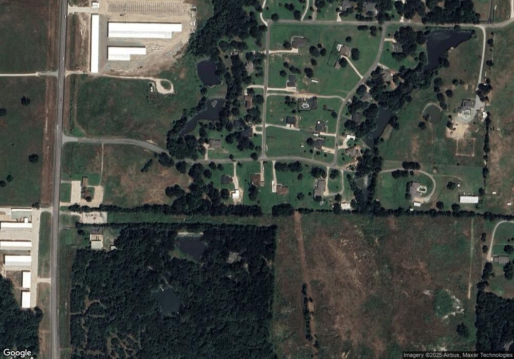
Map
Nearby Homes
- 23+/- Acres Oasis Dr
- 89 Crosstimbers Rd
- 292 Pecan Orchard Rd
- 565 Oasis Dr
- 123 Vandenburg Dr
- 36 Twining Dr
- 44 Mundt Dr
- 29 Macarthur Dr
- 22 Eastwood Terrace
- 356 Heironimus Ln
- 137 White Dove Trail
- 538 Lakewood Rd
- 57 Arboretum
- 44 Fawn Hollow Cir
- TBD Airport Dr
- 000 Davy Ln
- 3474 Plainview Rd
- 147 Shadow Trail
- 1566 Davy Ln
- 123 Valley Ranch Rd
- 272 High View Dr
- 212 High View Dr
- 11 Oasis Dr
- 35 Oasis Dr
- 35 Oasis Dr
- 177 High View Dr
- 317 Creekside Dr
- 15 Creekside Dr
- 49 Creekside Dr
- 67 Oasis Dr
- 328 High View Dr
- 328 High View Dr
- 71 Creekside Dr
- 18 Creekside Dr
- 68 Oasis Dr
- 123 Oasis Dr
- 66 Creekside Dr
- 126 Oasis Dr
- 98 Creekside Dr
- 121 Creekside Dr
Your Personal Tour Guide
Ask me questions while you tour the home.