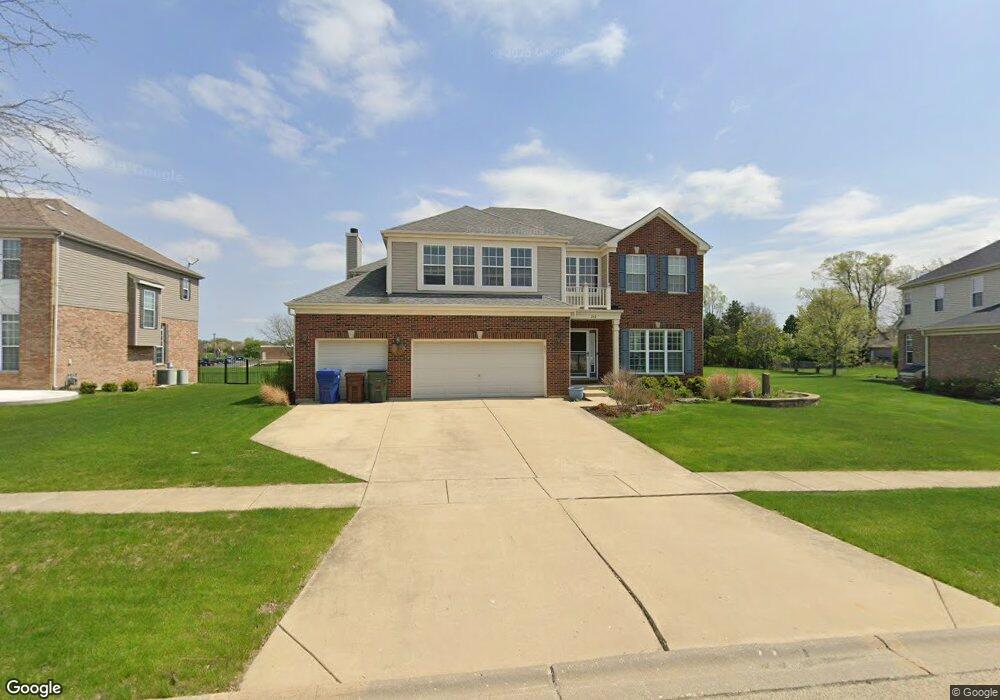
242 Ian Ave New Lenox, IL 60451
Estimated Value: $519,625 - $590,000
--
Bed
--
Bath
--
Sq Ft
0.27
Acres
About This Home
This home is located at 242 Ian Ave, New Lenox, IL 60451 and is currently estimated at $551,656. 242 Ian Ave is a home located in Will County with nearby schools including Bentley Elementary School, Arnold J Tyler School, and Alex M Martino Jr High School.
Ownership History
Date
Name
Owned For
Owner Type
Purchase Details
Closed on
Apr 25, 2006
Sold by
Laurel Meadow Llc
Bought by
Husa James J and Husa Donna C
Current Estimated Value
Home Financials for this Owner
Home Financials are based on the most recent Mortgage that was taken out on this home.
Original Mortgage
$318,600
Outstanding Balance
$175,170
Interest Rate
5.62%
Mortgage Type
Purchase Money Mortgage
Estimated Equity
$376,486
Create a Home Valuation Report for This Property
The Home Valuation Report is an in-depth analysis detailing your home's value as well as a comparison with similar homes in the area
Home Values in the Area
Average Home Value in this Area
Purchase History
| Date | Buyer | Sale Price | Title Company |
|---|---|---|---|
| Husa James J | $400,000 | First American Title Ins Co |
Source: Public Records
Mortgage History
| Date | Status | Borrower | Loan Amount |
|---|---|---|---|
| Open | Husa James J | $318,600 |
Source: Public Records
Tax History Compared to Growth
Tax History
| Year | Tax Paid | Tax Assessment Tax Assessment Total Assessment is a certain percentage of the fair market value that is determined by local assessors to be the total taxable value of land and additions on the property. | Land | Improvement |
|---|---|---|---|---|
| 2024 | $13,109 | $169,541 | $38,942 | $130,599 |
| 2023 | $13,109 | $154,550 | $35,499 | $119,051 |
| 2022 | $12,606 | $142,377 | $32,703 | $109,674 |
| 2021 | $11,209 | $133,901 | $30,756 | $103,145 |
| 2020 | $10,895 | $129,124 | $29,659 | $99,465 |
| 2019 | $10,431 | $125,120 | $28,739 | $96,381 |
| 2018 | $10,195 | $120,807 | $27,748 | $93,059 |
| 2017 | $9,690 | $117,334 | $26,950 | $90,384 |
| 2016 | $9,410 | $114,194 | $26,229 | $87,965 |
| 2015 | $9,068 | $110,599 | $25,403 | $85,196 |
| 2014 | $9,068 | $109,233 | $25,089 | $84,144 |
| 2013 | $9,068 | $110,705 | $25,427 | $85,278 |
Source: Public Records
Map
Nearby Homes
- 203 Tonell Ave
- 235 Roberts Rd
- 117 Walona Ave
- 920 Barnside Rd
- 513 Somerset Ln
- 805 Regent St
- 328 E Lincoln Hwy
- 1017 E Lincoln Hwy
- 718 S Prairie Rd
- 00 NE Corner Cherry Hill Road and Moss Lane Rd
- 125 N Anderson Rd
- 214 Somerset Ct
- 315 S Pine St
- 1125 Georgias Way
- 1139 Georgias Way
- 202 Hickory St
- 1212 Georgias Way
- 1193 Georgias Way
- 1535 Glenbrooke Ln
- 1245 Georgias Way