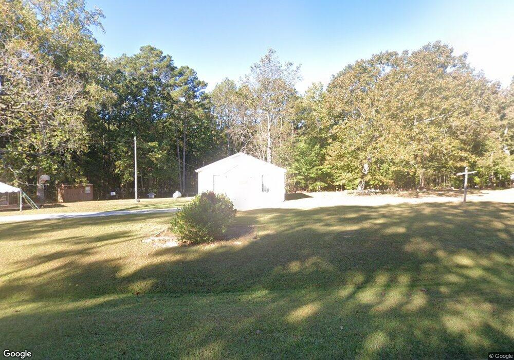
242 Lane Rd Franklin, GA 30217
Estimated Value: $33,242
--
Bed
--
Bath
1,792
Sq Ft
$19/Sq Ft
Est. Value
About This Home
This home is located at 242 Lane Rd, Franklin, GA 30217 and is currently estimated at $33,242, approximately $18 per square foot. 242 Lane Rd is a home located in Heard County with nearby schools including Heard County High School.
Ownership History
Date
Name
Owned For
Owner Type
Purchase Details
Closed on
Dec 7, 2023
Sold by
Burns Robert M
Bought by
Arnell Jeffery and Arnell Robert
Current Estimated Value
Purchase Details
Closed on
Jan 24, 2012
Bought by
Burns Robert M
Purchase Details
Closed on
Jan 25, 2011
Sold by
Goodson Eva Etal
Bought by
Trustees Ofwesley Chapel Church
Purchase Details
Closed on
Jun 14, 2010
Sold by
Wesley Chapel United Metho
Bought by
Weisley Chapel Cemetary
Purchase Details
Closed on
Jan 1, 1901
Bought by
Wesley Chapel United
Create a Home Valuation Report for This Property
The Home Valuation Report is an in-depth analysis detailing your home's value as well as a comparison with similar homes in the area
Home Values in the Area
Average Home Value in this Area
Purchase History
| Date | Buyer | Sale Price | Title Company |
|---|---|---|---|
| Arnell Jeffery | $30,000 | -- | |
| Burns Robert M | $20,000 | -- | |
| Trustees Ofwesley Chapel Church | -- | -- | |
| Weisley Chapel Cemetary | -- | -- | |
| Of Lagrange District | -- | -- | |
| Wesley Chapel United | -- | -- |
Source: Public Records
Tax History Compared to Growth
Tax History
| Year | Tax Paid | Tax Assessment Tax Assessment Total Assessment is a certain percentage of the fair market value that is determined by local assessors to be the total taxable value of land and additions on the property. | Land | Improvement |
|---|---|---|---|---|
| 2024 | -- | $18,488 | $3,160 | $15,328 |
| 2023 | $384 | $17,962 | $2,634 | $15,328 |
| 2022 | $384 | $16,986 | $1,658 | $15,328 |
| 2021 | $384 | $16,986 | $1,658 | $15,328 |
| 2020 | $384 | $16,986 | $1,658 | $15,328 |
| 2019 | $161 | $16,986 | $1,658 | $15,328 |
| 2018 | $384 | $16,986 | $1,658 | $15,328 |
| 2017 | $380 | $16,774 | $1,446 | $15,328 |
| 2016 | $380 | $16,774 | $1,446 | $15,328 |
| 2015 | -- | $16,630 | $2,696 | $13,934 |
| 2014 | -- | $16,630 | $2,696 | $13,934 |
| 2013 | -- | $24,990 | $2,695 | $22,295 |
Source: Public Records
Map
Nearby Homes
- 642 Elm Rd
- 19860 Ga Hwy 34
- 19860 Georgia 34
- 220 Dogwood Rd
- 38 Daniel Cir
- 0 Thomas Powers Rd Unit 10569332
- 0 Thomas Powers Rd Unit 5.54+/- ACRES
- 0 Thomas Powers Rd Unit 24228819
- 17426 Georgia 34
- 192 Hawk Rd
- 815 Birch Rd
- 1227 J D Walton Rd
- 0 Newman Rd Unit 10559645
- 189 & 191 W Plantation Dr
- 323 Newman Rd
- 4230 Joe Stephens Rd
- 0 Bill Cline Rd Unit 16661249
- 4398 Georgia 34
- 712 Boy Scout Rd
- 927 Boy Scout Rd
- 130 Lane Rd
- 20 Lane Rd
- 19194 Ga Highway 34
- 596 Lane Rd
- 19155 Georgia 34
- 19022 Ga Highway 34
- 0 Enon Grove Rd Unit 10431747
- 0 Enon Grove Rd Unit 3051917
- 0 Enon Grove Rd Unit 3039580
- 0 Enon Grove Rd Unit 3039145
- 0 Enon Grove Rd Unit 3051705
- 0 Enon Grove Rd Unit 3052005
- 0 Enon Grove Rd Unit 8929566
- 0 Enon Grove Rd Unit 8957962
- 19259 Georgia 34
- 19259 Ga Highway 34
- 19259 Ga Highway 34
- 19259 Ga Highway 34
- 19259 Ga Highway 34
- 19259 Ga Highway 34