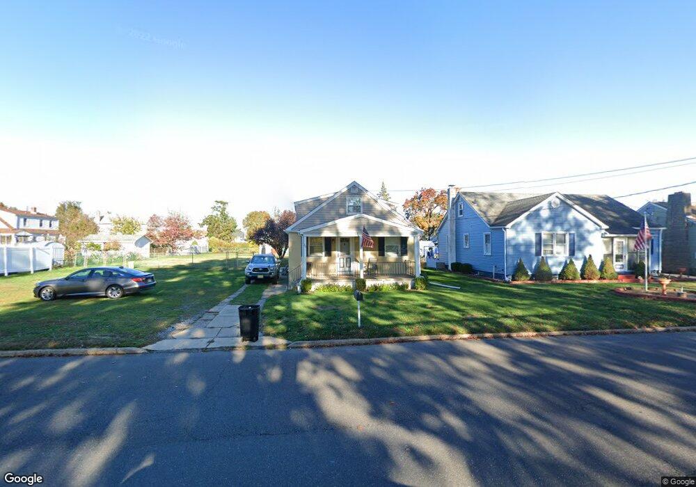
242 Leonard Ave Trenton, NJ 08610
Estimated Value: $275,000 - $397,000
--
Bed
--
Bath
1,478
Sq Ft
$234/Sq Ft
Est. Value
About This Home
This home is located at 242 Leonard Ave, Trenton, NJ 08610 and is currently estimated at $346,380, approximately $234 per square foot. 242 Leonard Ave is a home located in Mercer County with nearby schools including Kuser Elementary School, Emily C. Reynolds Middle School, and Steinert - Hamilton High East.
Ownership History
Date
Name
Owned For
Owner Type
Purchase Details
Closed on
Mar 3, 2021
Sold by
Lertch Timothy and Lertch Susan
Bought by
Lertch Timothy and Lertch Susan
Current Estimated Value
Purchase Details
Closed on
Dec 16, 2013
Sold by
Lertch Robert K and Lertch Thomas C
Bought by
Lertch Susan D and Lertch Timothy
Purchase Details
Closed on
Sep 12, 2013
Sold by
Lertch Susan D
Bought by
Lertch Susan D and Lertch Robert K
Create a Home Valuation Report for This Property
The Home Valuation Report is an in-depth analysis detailing your home's value as well as a comparison with similar homes in the area
Home Values in the Area
Average Home Value in this Area
Purchase History
| Date | Buyer | Sale Price | Title Company |
|---|---|---|---|
| Lertch Timothy | -- | None Available | |
| Lertch Timothy | -- | None Listed On Document | |
| Lertch Susan D | $106,200 | First American Title | |
| Lertch Susan D | -- | None Available |
Source: Public Records
Tax History Compared to Growth
Tax History
| Year | Tax Paid | Tax Assessment Tax Assessment Total Assessment is a certain percentage of the fair market value that is determined by local assessors to be the total taxable value of land and additions on the property. | Land | Improvement |
|---|---|---|---|---|
| 2025 | $6,519 | $185,000 | $53,000 | $132,000 |
| 2024 | $6,111 | $185,000 | $53,000 | $132,000 |
| 2023 | $6,111 | $185,000 | $53,000 | $132,000 |
| 2022 | $6,014 | $185,000 | $53,000 | $132,000 |
| 2021 | $6,906 | $169,000 | $43,800 | $125,200 |
| 2020 | $5,700 | $169,000 | $43,800 | $125,200 |
| 2019 | $5,552 | $169,000 | $43,800 | $125,200 |
| 2018 | $5,489 | $169,000 | $43,800 | $125,200 |
| 2017 | $5,209 | $169,000 | $43,800 | $125,200 |
| 2016 | $4,667 | $172,600 | $47,400 | $125,200 |
| 2015 | $5,578 | $114,800 | $34,700 | $80,100 |
| 2014 | $5,489 | $114,800 | $34,700 | $80,100 |
Source: Public Records
Map
Nearby Homes
- 61 Leuckel Ave
- 20 Leuckel Ave
- 25 Brook Ln
- 125 Edwin Ave
- 176 Pope Ave
- 144 Beal St
- 127 Bentley Ave
- 51 Charlotte Ave
- 1427 Hamilton Ave
- 20 Charlotte Ave
- 235 Darcy Ave
- 618 Atlantic Ave
- 1524 Elizabeth Ave
- 90 Sundance Dr
- 26 Benson Ave
- 448 Lynwood Ave
- 480 S Logan Ave
- 125 Sundance Dr
- 657 S Olden Ave
- L:25 Mandl St
- 246 Leonard Ave
- 252 Leonard Ave
- 246 Steward St
- 238 Steward St
- 252 Steward St
- 226 Steward St
- 535 Miller Ave
- 511 Miller Ave
- 241 Steward St
- 270 Leonard Ave
- 233 Steward St
- 503 Miller Ave
- 251 Steward St
- 525 Miller Ave
- 231 Steward St
- 517 Miller Ave
- 225 Steward St
- 219 Steward St
- 557 Miller Ave
- 190 Leonard Ave