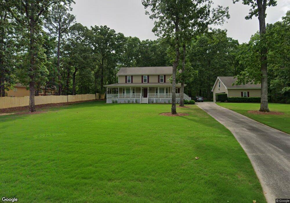
242 Long Island Dr Whitesburg, GA 30185
Estimated Value: $340,000 - $367,000
4
Beds
3
Baths
2,312
Sq Ft
$154/Sq Ft
Est. Value
About This Home
This home is located at 242 Long Island Dr, Whitesburg, GA 30185 and is currently estimated at $356,877, approximately $154 per square foot. 242 Long Island Dr is a home located in Carroll County with nearby schools including Whitesburg Elementary School, Central Middle School, and Central High School.
Ownership History
Date
Name
Owned For
Owner Type
Purchase Details
Closed on
Apr 28, 2004
Sold by
Mcmillan Sandra J
Bought by
Mcmillan Sandra J and Mcmillan Joseph M
Current Estimated Value
Purchase Details
Closed on
Jul 15, 1998
Sold by
Mcdowell Phillip G
Bought by
Agan Rodney A and Agan Paul
Purchase Details
Closed on
Mar 2, 1995
Bought by
Mcdowell Phillip G
Purchase Details
Closed on
Feb 14, 1993
Bought by
Cole Cole and Cole Bohannon
Purchase Details
Closed on
Jul 7, 1989
Bought by
Stillwater
Create a Home Valuation Report for This Property
The Home Valuation Report is an in-depth analysis detailing your home's value as well as a comparison with similar homes in the area
Home Values in the Area
Average Home Value in this Area
Purchase History
| Date | Buyer | Sale Price | Title Company |
|---|---|---|---|
| Mcmillan Sandra J | -- | -- | |
| Mcmillan Sandra J | $180,000 | -- | |
| Agan Rodney A | $130,000 | -- | |
| Mcdowell Phillip G | $13,500 | -- | |
| Cole Cole | -- | -- | |
| Stillwater | -- | -- |
Source: Public Records
Tax History Compared to Growth
Tax History
| Year | Tax Paid | Tax Assessment Tax Assessment Total Assessment is a certain percentage of the fair market value that is determined by local assessors to be the total taxable value of land and additions on the property. | Land | Improvement |
|---|---|---|---|---|
| 2024 | $2,330 | $123,051 | $8,000 | $115,051 |
| 2023 | $2,330 | $112,941 | $8,000 | $104,941 |
| 2022 | $2,012 | $92,165 | $8,000 | $84,165 |
| 2021 | $1,850 | $80,521 | $8,000 | $72,521 |
| 2020 | $1,712 | $72,730 | $8,000 | $64,730 |
| 2019 | $1,617 | $66,727 | $8,000 | $58,727 |
| 2018 | $1,442 | $58,931 | $8,000 | $50,931 |
| 2017 | $1,447 | $58,931 | $8,000 | $50,931 |
| 2016 | $1,447 | $58,931 | $8,000 | $50,931 |
| 2015 | $1,731 | $65,904 | $8,000 | $57,904 |
| 2014 | $1,739 | $65,904 | $8,000 | $57,904 |
Source: Public Records
Map
Nearby Homes
- 226 Long Island Dr
- 40 Coral Dr
- 15 Bailey St
- 2241 Georgia 16
- 0 Georgia 16
- 0 TRACT 2 Little New York Rd
- 840 Old Driver Rd
- 42 Church Ln
- 369 Old Driver Rd
- 409 Old Driver Rd
- 419 Tommy Thompson Way
- 570 Old Driver Rd
- 255 Sally Duke Dr
- 501 Hollis Thompson Dr
- 207 Sally Duke Dr
- 357 Old Driver Rd
- 439 Old Jones Rd
- 200 Heath Rd
- 201 Little New York Rd
- 226 Long Island Dr
- 29 Coral Dr
- 215 Long Island Dr
- 0 Coral Dr Unit 7123496
- 0 Coral Dr Unit 7633573
- 0 Coral Dr Unit 8507237
- 0 Coral Dr Unit 8265166
- 24 Coral Dr
- 0 Coral Dr
- 113 Coral Dr
- 231 Long Island Dr
- 247 Long Island Dr
- 320 Kiva Ridge Dr Unit 34
- 320 Kiva Ridge Dr Unit DEV
- 320 Kiva Ridge Dr
- 312 Kiva Ridge Dr
- 197 Long Island Dr
- 328 Kiva Ridge Dr
- 308 Kiva Ridge Dr Unit LOT 10
- 56 Coral Dr Unit 48