242 Mcmurray Rd Unit SR Rutherfordton, NC 28139
Estimated Value: $388,000
3
Beds
2
Baths
1,620
Sq Ft
$240/Sq Ft
Est. Value
About This Home
This home is located at 242 Mcmurray Rd Unit SR, Rutherfordton, NC 28139 and is currently estimated at $388,000, approximately $239 per square foot. 242 Mcmurray Rd Unit SR is a home located in Polk County.
Ownership History
Date
Name
Owned For
Owner Type
Purchase Details
Closed on
Jun 29, 2015
Bought by
Roland Eric and Roland Linda Barbato
Current Estimated Value
Purchase Details
Closed on
Sep 5, 2008
Sold by
Davidson Cheryl Ann and Davidson Robert Brian
Bought by
Roland Eric and Barbato Linda
Home Financials for this Owner
Home Financials are based on the most recent Mortgage that was taken out on this home.
Original Mortgage
$90,576
Interest Rate
6.48%
Mortgage Type
Purchase Money Mortgage
Purchase Details
Closed on
Dec 31, 1997
Bought by
Roland Eric and Linda Barbato
Create a Home Valuation Report for This Property
The Home Valuation Report is an in-depth analysis detailing your home's value as well as a comparison with similar homes in the area
Home Values in the Area
Average Home Value in this Area
Purchase History
| Date | Buyer | Sale Price | Title Company |
|---|---|---|---|
| Roland Eric | -- | -- | |
| Roland Eric | $122,000 | None Available | |
| Roland Eric | -- | -- |
Source: Public Records
Mortgage History
| Date | Status | Borrower | Loan Amount |
|---|---|---|---|
| Previous Owner | Roland Eric | $90,576 |
Source: Public Records
Tax History Compared to Growth
Tax History
| Year | Tax Paid | Tax Assessment Tax Assessment Total Assessment is a certain percentage of the fair market value that is determined by local assessors to be the total taxable value of land and additions on the property. | Land | Improvement |
|---|---|---|---|---|
| 2025 | $797 | $149,922 | $50,444 | $99,478 |
| 2024 | $697 | $107,472 | $45,444 | $62,028 |
| 2023 | $686 | $107,472 | $45,444 | $62,028 |
| 2022 | $699 | $107,472 | $45,444 | $62,028 |
| 2021 | $678 | $107,472 | $45,444 | $62,028 |
| 2020 | $622 | $92,513 | $45,444 | $47,069 |
| 2019 | $622 | $92,513 | $45,444 | $47,069 |
| 2018 | $570 | $90,113 | $45,444 | $44,669 |
| 2017 | $552 | $131,289 | $76,480 | $54,809 |
| 2016 | $798 | $131,289 | $76,480 | $54,809 |
| 2015 | $753 | $0 | $0 | $0 |
| 2014 | $753 | $0 | $0 | $0 |
| 2013 | -- | $0 | $0 | $0 |
Source: Public Records
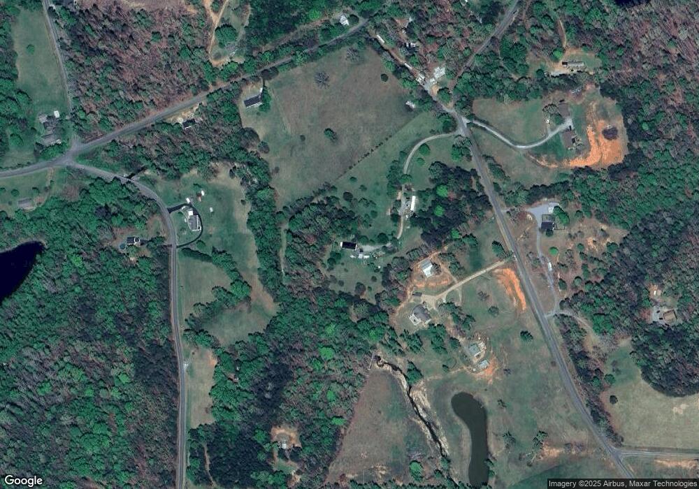
Map
Nearby Homes
- 4888 Poors Ford Rd Unit SR
- 582 County Line Rd
- 000 County Line Rd
- 0 County Line Rd
- 3744 Poors Ford Rd
- 49 Meadowbrook Rd
- 1305 County Line Rd
- 1896 E Green Creek Dr
- 265 Phillip Henderson Rd
- 4830 Chesnee Rd
- 0 Prince Rd Unit Lot 4 CAR4217750
- 0 Prince Rd Unit 1546693
- 1343 Solen Williams Rd
- 185 Robinson Acres Ln
- 0 E Green Creek Dr
- 450 Big Gum Ct Unit 452
- 00 Chesnee Rd
- 3080 Ken Miller Rd
- 256 Honey Wagon Dr
- V/L W V Thompson Rd Unit 4
- 304 Mcmurray Rd Unit SR
- 2040 Lee Cudd Rd Unit SR
- 281 Mcmurray Rd
- 4719 Poors Ford Rd Unit SR
- 2025 Lee Cudd Rd
- 4756 Poors Ford Rd
- 241 Mcmurray Rd
- 241 Mcmurray Rd Unit 68
- 1740 Lee Cudd Rd
- 5038 Poors Ford Rd
- 5071 Poors Ford Rd
- 341 Mcmurray Rd
- 9999 Mcmurray Rd
- Lot 4 County Line Rd Unit 4
- 0 Stacy Rd Unit NCM489102
- 0 Stacy Rd Unit NCM523994
- 132 Lyles Pond Rd
- 4532 Poors Ford Rd
- 4532 Poors Ford Rd Unit SR
- 194 Lyles Pond Rd Unit 372