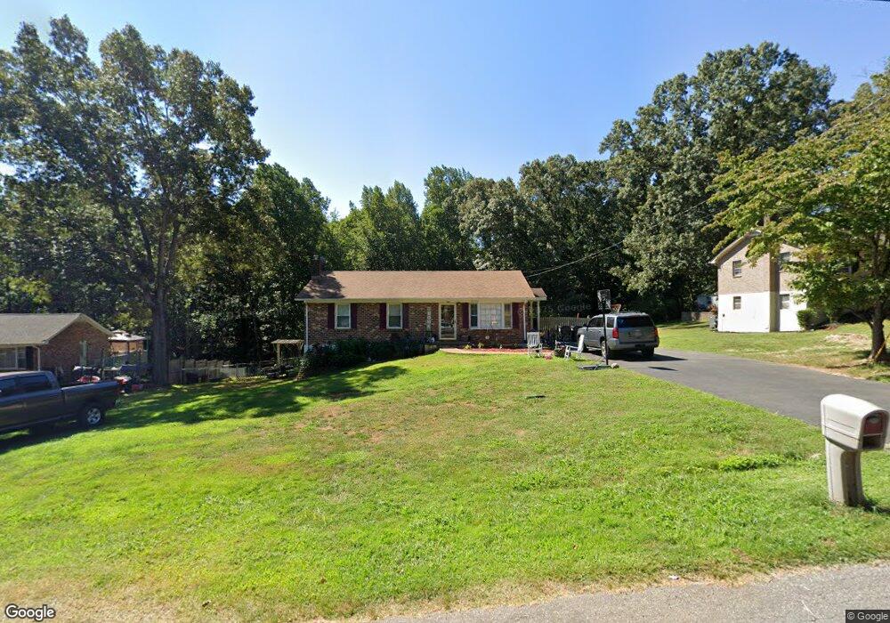
242 Melwood Dr Madison Heights, VA 24572
Estimated Value: $243,000 - $279,490
3
Beds
2
Baths
1,040
Sq Ft
$250/Sq Ft
Est. Value
About This Home
This home is located at 242 Melwood Dr, Madison Heights, VA 24572 and is currently estimated at $259,873, approximately $249 per square foot. 242 Melwood Dr is a home located in Amherst County with nearby schools including Amelon Elementary School, Monelison Middle School, and Amherst County High School.
Ownership History
Date
Name
Owned For
Owner Type
Purchase Details
Closed on
Sep 24, 2022
Sold by
Patton Dale A
Bought by
Patton Dale A and Patton Sandee
Current Estimated Value
Home Financials for this Owner
Home Financials are based on the most recent Mortgage that was taken out on this home.
Original Mortgage
$172,568
Outstanding Balance
$164,015
Interest Rate
4.63%
Mortgage Type
FHA
Estimated Equity
$95,858
Create a Home Valuation Report for This Property
The Home Valuation Report is an in-depth analysis detailing your home's value as well as a comparison with similar homes in the area
Home Values in the Area
Average Home Value in this Area
Purchase History
| Date | Buyer | Sale Price | Title Company |
|---|---|---|---|
| Patton Dale A | -- | Fidelity National Title |
Source: Public Records
Mortgage History
| Date | Status | Borrower | Loan Amount |
|---|---|---|---|
| Open | Patton Dale A | $172,568 |
Source: Public Records
Tax History Compared to Growth
Tax History
| Year | Tax Paid | Tax Assessment Tax Assessment Total Assessment is a certain percentage of the fair market value that is determined by local assessors to be the total taxable value of land and additions on the property. | Land | Improvement |
|---|---|---|---|---|
| 2025 | $841 | $137,900 | $22,500 | $115,400 |
| 2024 | $841 | $137,900 | $22,500 | $115,400 |
| 2023 | $841 | $137,900 | $22,500 | $115,400 |
| 2022 | $841 | $137,900 | $22,500 | $115,400 |
| 2021 | $841 | $137,900 | $22,500 | $115,400 |
| 2020 | $841 | $137,900 | $22,500 | $115,400 |
| 2019 | $808 | $132,400 | $28,500 | $103,900 |
| 2018 | $808 | $132,400 | $28,500 | $103,900 |
| 2017 | $808 | $132,400 | $28,500 | $103,900 |
| 2016 | $808 | $132,400 | $28,500 | $103,900 |
| 2015 | $741 | $132,400 | $28,500 | $103,900 |
| 2014 | $741 | $132,400 | $28,500 | $103,900 |
Source: Public Records
Map
Nearby Homes
- 571 Dixie Airport Rd
- 151 Stratford Place
- TBD Stratford Place Unit 39
- 289 Todd Ln
- 327 Dixie Airport Rd
- 250 S Wood Duck Dr
- 0 Lot 10 & 11 Stoney Creek Dr Unit 345183
- 272 Dixie Airport Rd
- 150 Glenwood Dr
- 0 Commonwealth Dr Unit 361760
- 0 Monticello Ln
- 4123 S Amherst Hwy
- 164 Glade Rd
- 193 Daniels Dr
- 193 Fernridge Ct
- 505 Royal Gardens Ct
- 149 Peaceful Ln
- 255 Glade Rd
- 156 Bryant Rd
- 51 Patrick Ct
- 250 Melwood Dr
- 236 Melwood Dr
- 224 Melwood Dr
- 247 Melwood Dr
- 147 Longwood Place
- 146 Longwood Place
- 237 Melwood Dr
- 251 Melwood Dr
- 253 Melwood Dr
- 216 Melwood Dr
- 206 Melwood Dr
- 229 Melwood Dr
- 174 Melody Ln
- 227 Melwood Dr
- 209 Melwood Dr
- 142 Longwood Place
- 221 Melwood Dr
- 112 Other
- 194 Melwood Dr
- 203 Melwood Dr