242 Moore Rd Paxinos, PA 17860
Estimated Value: $135,884 - $386,000
--
Bed
--
Bath
--
Sq Ft
38.03
Acres
About This Home
This home is located at 242 Moore Rd, Paxinos, PA 17860 and is currently estimated at $260,942. 242 Moore Rd is a home with nearby schools including Hartman Elementary Center, Southern Columbia Middle School, and Southern Columbia High School.
Ownership History
Date
Name
Owned For
Owner Type
Purchase Details
Closed on
Mar 28, 2013
Sold by
Moore Michael R
Bought by
Moore Michael R
Current Estimated Value
Purchase Details
Closed on
Sep 5, 2012
Sold by
Moore Michael C
Bought by
Moore Michael C
Home Financials for this Owner
Home Financials are based on the most recent Mortgage that was taken out on this home.
Original Mortgage
$164,000
Interest Rate
3.52%
Mortgage Type
New Conventional
Purchase Details
Closed on
Jun 11, 2007
Sold by
Moore Michael C and Moore Tonnie
Bought by
Moore Michael C
Home Financials for this Owner
Home Financials are based on the most recent Mortgage that was taken out on this home.
Original Mortgage
$125,000
Interest Rate
6.39%
Mortgage Type
FHA
Create a Home Valuation Report for This Property
The Home Valuation Report is an in-depth analysis detailing your home's value as well as a comparison with similar homes in the area
Home Values in the Area
Average Home Value in this Area
Purchase History
| Date | Buyer | Sale Price | Title Company |
|---|---|---|---|
| Moore Michael R | -- | None Available | |
| Moore Michael C | $205,000 | None Available | |
| Moore Michael C | -- | None Available |
Source: Public Records
Mortgage History
| Date | Status | Borrower | Loan Amount |
|---|---|---|---|
| Closed | Moore Michael C | $164,000 | |
| Closed | Moore Michael C | $125,000 |
Source: Public Records
Tax History Compared to Growth
Tax History
| Year | Tax Paid | Tax Assessment Tax Assessment Total Assessment is a certain percentage of the fair market value that is determined by local assessors to be the total taxable value of land and additions on the property. | Land | Improvement |
|---|---|---|---|---|
| 2025 | $2,604 | $22,050 | $0 | $22,050 |
| 2024 | $2,404 | $22,050 | $0 | $22,050 |
| 2023 | $2,404 | $22,050 | $0 | $22,050 |
| 2022 | $2,408 | $22,050 | $0 | $22,050 |
| 2021 | $2,355 | $22,050 | $0 | $22,050 |
| 2020 | $2,298 | $22,050 | $0 | $22,050 |
| 2019 | $2,240 | $22,050 | $0 | $22,050 |
| 2018 | $1,894 | $19,350 | $0 | $19,350 |
| 2017 | $1,748 | $19,350 | $0 | $19,350 |
| 2016 | -- | $19,350 | $0 | $19,350 |
| 2015 | -- | $19,350 | $0 | $19,350 |
| 2014 | -- | $19,350 | $0 | $19,350 |
Source: Public Records
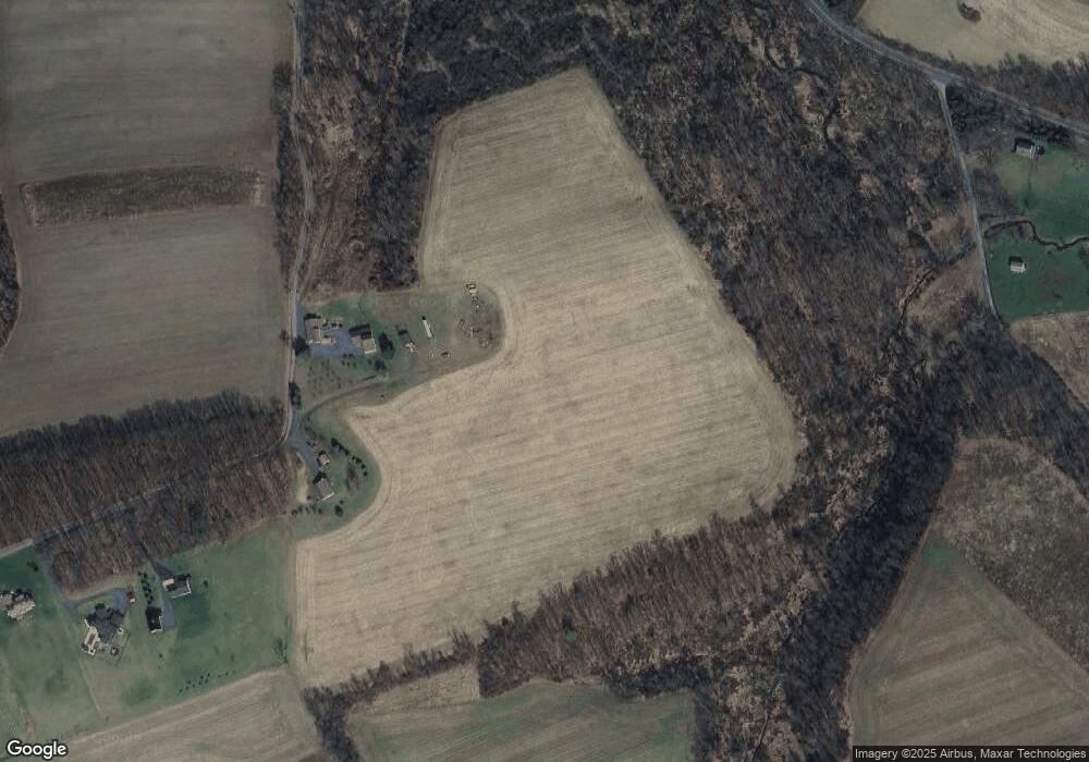
Map
Nearby Homes
- LOT 8 Mountain Rd
- LOT #7 Mountain Rd
- 0 Mountain Rd
- LOT 13 Oak Grove Rd
- 150 Blue Spruce Ln
- 459 Overlook Blvd
- 107 17th St
- 633 Center St
- 515 Center St
- 0 Hillside Ave
- 108 Center St
- 151 Birchwyn Dr
- 261 Hillside Ave
- 0 W Valley Ave
- 151 Hillside Ave
- 0 Heartland Blvd Unit WB-101932
- 534 W Center St
- 0 Roadarmel Ln
- 221 E Cameron St
- 925 N Orange St
- 166 Moore Rd
- 150 Moore Rd
- 230 Blue Church Rd
- 140 Moore Rd
- 182 Blue Church Rd
- 272 Blue Church Rd
- 292 Blue Church Rd
- 280 Blue Church Rd
- 110 Moore Rd
- 987 Airport Rd
- 130 Blue Church Rd
- 1007 Airport Rd
- 325 Blue Church Rd
- 359 Blue Church Rd
- 345 Blue Church Rd
- 585 Mountain Rd
- 987 Reading Turnpike
- 843 Airport Rd
- 645 Mountain Rd
- 1056 Airport Rd