242 Old Wharf Rd Unit A11-1 Dennis Port, MA 02639
Dennis Port NeighborhoodEstimated Value: $471,000 - $519,000
2
Beds
1
Bath
746
Sq Ft
$667/Sq Ft
Est. Value
About This Home
This home is located at 242 Old Wharf Rd Unit A11-1, Dennis Port, MA 02639 and is currently estimated at $497,722, approximately $667 per square foot. 242 Old Wharf Rd Unit A11-1 is a home located in Barnstable County with nearby schools including Dennis-Yarmouth Regional High School and St. Pius X. School.
Ownership History
Date
Name
Owned For
Owner Type
Purchase Details
Closed on
Aug 29, 2014
Sold by
Howland Robert and Howland Charlene
Bought by
Mccrory Anne L
Current Estimated Value
Home Financials for this Owner
Home Financials are based on the most recent Mortgage that was taken out on this home.
Original Mortgage
$130,000
Outstanding Balance
$98,424
Interest Rate
4%
Mortgage Type
Adjustable Rate Mortgage/ARM
Estimated Equity
$399,298
Purchase Details
Closed on
Mar 10, 2010
Sold by
Old Wharf Realty Llc
Bought by
Howland Robert and Howland Charlene
Home Financials for this Owner
Home Financials are based on the most recent Mortgage that was taken out on this home.
Original Mortgage
$131,454
Interest Rate
5.02%
Mortgage Type
Purchase Money Mortgage
Create a Home Valuation Report for This Property
The Home Valuation Report is an in-depth analysis detailing your home's value as well as a comparison with similar homes in the area
Home Values in the Area
Average Home Value in this Area
Purchase History
| Date | Buyer | Sale Price | Title Company |
|---|---|---|---|
| Mccrory Anne L | $220,000 | -- | |
| Mccrory Anne L | $220,000 | -- | |
| Howland Robert | $175,000 | -- | |
| Howland Robert | $175,000 | -- |
Source: Public Records
Mortgage History
| Date | Status | Borrower | Loan Amount |
|---|---|---|---|
| Open | Mccrory Anne L | $130,000 | |
| Closed | Howland Robert | $130,000 | |
| Previous Owner | Howland Robert | $131,454 |
Source: Public Records
Tax History Compared to Growth
Tax History
| Year | Tax Paid | Tax Assessment Tax Assessment Total Assessment is a certain percentage of the fair market value that is determined by local assessors to be the total taxable value of land and additions on the property. | Land | Improvement |
|---|---|---|---|---|
| 2025 | $2,081 | $480,600 | $0 | $480,600 |
| 2024 | $2,357 | $537,000 | $0 | $537,000 |
| 2023 | $1,878 | $402,100 | $0 | $402,100 |
| 2022 | $1,902 | $339,700 | $0 | $339,700 |
| 2021 | $1,845 | $306,000 | $0 | $306,000 |
| 2020 | $1,887 | $309,300 | $0 | $309,300 |
| 2019 | $1,604 | $259,900 | $0 | $259,900 |
| 2018 | $1,653 | $260,700 | $0 | $260,700 |
| 2017 | $1,525 | $247,900 | $0 | $247,900 |
| 2016 | $1,571 | $240,600 | $0 | $240,600 |
| 2015 | $1,540 | $240,600 | $0 | $240,600 |
| 2014 | $1,528 | $240,600 | $0 | $240,600 |
Source: Public Records
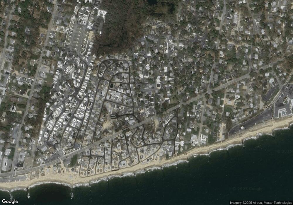
Map
Nearby Homes
- 241 Old Wharf Rd Unit 82
- 241 Old Wharf Rd Unit 127
- 217 Old Wharf Rd Unit 64
- 262 Old Wharf Rd Unit 67
- 262 Old Wharf Rd Unit 5
- 262 Old Wharf Rd Unit 5
- 262 Old Wharf Rd Unit 87
- 37 Beach Hills Rd
- 37-A Beach Hills Rd
- 154 Old Wharf Rd Unit 26
- 154 Old Wharf Rd Unit 14
- 22 Ferncliff Rd
- 64 Beaten Rd
- 112 Old Wharf Rd Unit E4
- 112 Old Wharf Rd Unit E1
- 18 Holiday Ln
- 37 Ocean Dr Unit 2
- 102 Sea St
- 10 Grindell Ave
- 402 Old Wharf Rd
- 242 Old Wharf Rd
- 242 Old Wharf Rd Unit C7
- 242 Old Wharf Rd Unit F6
- 242 Old Wharf Rd Unit B8
- 242 Old Wharf Rd Unit F5
- 242 Old Wharf Rd Unit E6
- 242 Old Wharf Rd Unit B2
- 242 Old Wharf Rd Unit C1
- 242 Old Wharf Rd Unit A3
- 242 Old Wharf Rd Unit B4
- 242 Old Wharf Rd Unit C10
- 242 Old Wharf Rd Unit F9
- 242 Old Wharf Rd Unit C4
- 242 Old Wharf Rd Unit C5
- 242 Old Wharf Rd Unit E2
- 242 Old Wharf Rd Unit A4
- 242 Old Wharf Rd Unit C6
- 242 Old Wharf Rd Unit B12
- 242 Old Wharf Rd Unit M3
- 242 Old Wharf Rd Unit A9-1