242 Quesenberry Dr Unit 9 Eatonton, GA 31024
Estimated Value: $638,640 - $751,000
3
Beds
3
Baths
1,653
Sq Ft
$424/Sq Ft
Est. Value
About This Home
This home is located at 242 Quesenberry Dr Unit 9, Eatonton, GA 31024 and is currently estimated at $701,410, approximately $424 per square foot. 242 Quesenberry Dr Unit 9 is a home located in Putnam County with nearby schools including Putnam County Primary School, Putnam County Elementary School, and Putnam County Middle School.
Ownership History
Date
Name
Owned For
Owner Type
Purchase Details
Closed on
Dec 31, 2020
Sold by
Stack James L
Bought by
Barrios Miguel
Current Estimated Value
Home Financials for this Owner
Home Financials are based on the most recent Mortgage that was taken out on this home.
Original Mortgage
$332,000
Outstanding Balance
$296,311
Interest Rate
2.71%
Mortgage Type
New Conventional
Estimated Equity
$405,099
Purchase Details
Closed on
Aug 5, 2002
Sold by
Stack James L
Bought by
Stack James L and Stack Mary
Create a Home Valuation Report for This Property
The Home Valuation Report is an in-depth analysis detailing your home's value as well as a comparison with similar homes in the area
Home Values in the Area
Average Home Value in this Area
Purchase History
| Date | Buyer | Sale Price | Title Company |
|---|---|---|---|
| Barrios Miguel | $415,000 | -- | |
| Stack James L | -- | -- | |
| Stack James L | $205,300 | -- |
Source: Public Records
Mortgage History
| Date | Status | Borrower | Loan Amount |
|---|---|---|---|
| Open | Barrios Miguel | $332,000 |
Source: Public Records
Tax History Compared to Growth
Tax History
| Year | Tax Paid | Tax Assessment Tax Assessment Total Assessment is a certain percentage of the fair market value that is determined by local assessors to be the total taxable value of land and additions on the property. | Land | Improvement |
|---|---|---|---|---|
| 2024 | $2,450 | $237,104 | $75,000 | $162,104 |
| 2023 | $2,577 | $237,883 | $75,000 | $162,883 |
| 2022 | $2,761 | $212,635 | $50,000 | $162,635 |
| 2021 | $3,141 | $147,850 | $60,000 | $87,850 |
| 2020 | $2,974 | $122,737 | $65,700 | $57,037 |
| 2019 | $2,993 | $106,916 | $56,940 | $49,976 |
| 2018 | $2,671 | $106,916 | $56,940 | $49,976 |
| 2017 | $2,411 | $106,916 | $56,940 | $49,976 |
| 2016 | $2,413 | $106,916 | $56,940 | $49,976 |
| 2015 | $2,326 | $106,916 | $56,940 | $49,977 |
| 2014 | $2,329 | $106,917 | $56,940 | $49,977 |
Source: Public Records
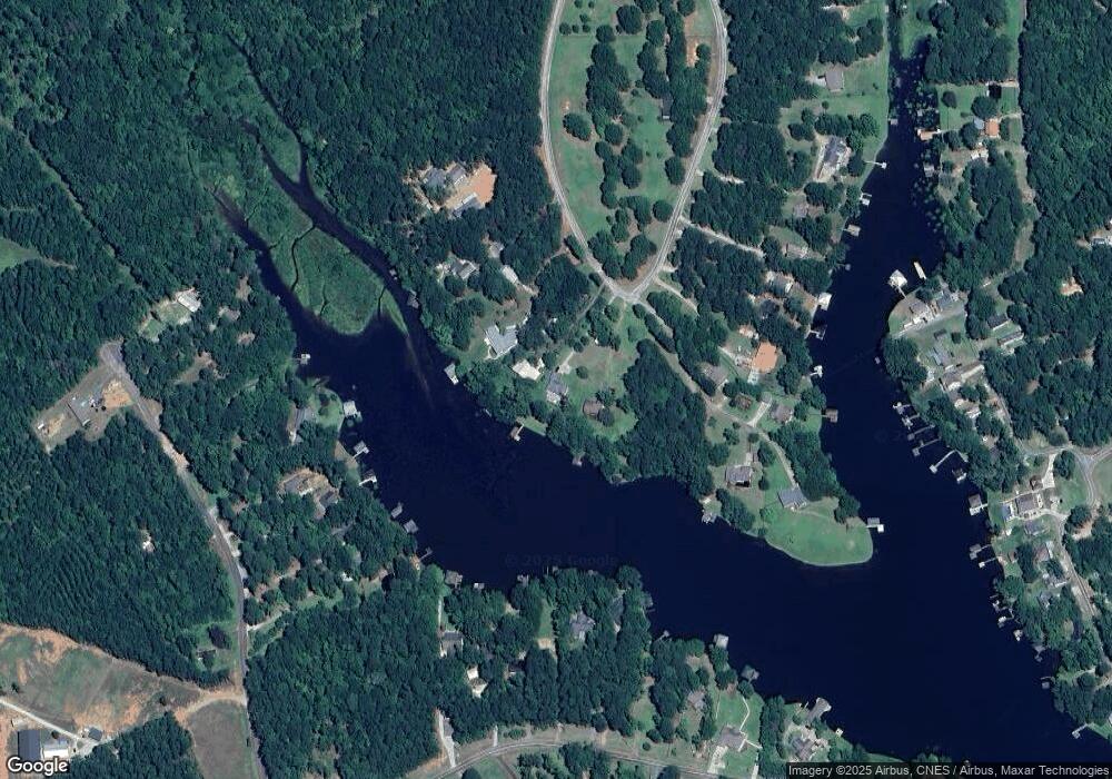
Map
Nearby Homes
- 242 Quesenberry Dr
- 244 Quesenberry Dr
- 238 Quesenberry Dr
- 234 Quesenberry Dr
- 256 Quesenberry Dr Unit 1 & 2
- 260 Quesenberry Dr
- 250 Quesenberry Dr
- 915 S Steel Bridge Rd
- 911 S Steel Bridge Rd
- 266 Quesenberry Dr
- 162 Paramount Dr
- 254 Quesenberry Dr
- 154 Paramount Dr
- 271 Quesenberry Dr Unit 6
- 166 Paramount Dr SE Unit 4
- 166 Paramount Dr SE
- 160 Paramount Dr
- 273 Quesenberry Dr
- 162 Paramount Dr SE
- 907 S Steel Bridge Rd