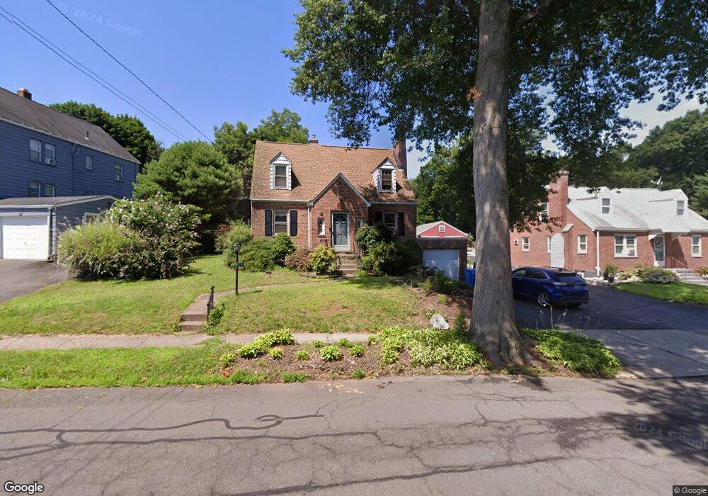
242 Roxbury Rd New Britain, CT 06053
Estimated Value: $281,000 - $309,000
3
Beds
3
Baths
1,300
Sq Ft
$229/Sq Ft
Est. Value
About This Home
This home is located at 242 Roxbury Rd, New Britain, CT 06053 and is currently estimated at $297,535, approximately $228 per square foot. 242 Roxbury Rd is a home located in Hartford County with nearby schools including Holmes School, Pulaski Middle School, and Mountain Laurel Sudbury School.
Ownership History
Date
Name
Owned For
Owner Type
Purchase Details
Closed on
Jul 31, 2003
Sold by
Corrigan Eva
Bought by
Bristol Hilary
Current Estimated Value
Home Financials for this Owner
Home Financials are based on the most recent Mortgage that was taken out on this home.
Original Mortgage
$150,000
Outstanding Balance
$63,065
Interest Rate
5%
Estimated Equity
$234,470
Purchase Details
Closed on
Jun 26, 1997
Sold by
Lapointe Michael J and Lapointe Caryn L
Bought by
Emrich Timothy D and Corrigan Eva
Purchase Details
Closed on
Jun 28, 1995
Sold by
G&B Assoc
Bought by
Broderick Robert and Broderick Sandra
Create a Home Valuation Report for This Property
The Home Valuation Report is an in-depth analysis detailing your home's value as well as a comparison with similar homes in the area
Home Values in the Area
Average Home Value in this Area
Purchase History
| Date | Buyer | Sale Price | Title Company |
|---|---|---|---|
| Bristol Hilary | $155,000 | -- | |
| Emrich Timothy D | $100,000 | -- | |
| Broderick Robert | $96,000 | -- |
Source: Public Records
Mortgage History
| Date | Status | Borrower | Loan Amount |
|---|---|---|---|
| Open | Broderick Robert | $150,000 | |
| Previous Owner | Broderick Robert | $110,500 | |
| Previous Owner | Broderick Robert | $95,050 |
Source: Public Records
Tax History Compared to Growth
Tax History
| Year | Tax Paid | Tax Assessment Tax Assessment Total Assessment is a certain percentage of the fair market value that is determined by local assessors to be the total taxable value of land and additions on the property. | Land | Improvement |
|---|---|---|---|---|
| 2025 | $5,707 | $145,670 | $55,300 | $90,370 |
| 2024 | $5,767 | $145,670 | $55,300 | $90,370 |
| 2023 | $5,576 | $145,670 | $55,300 | $90,370 |
| 2022 | $4,938 | $99,750 | $25,480 | $74,270 |
| 2021 | $4,938 | $99,750 | $25,480 | $74,270 |
| 2020 | $5,037 | $99,750 | $25,480 | $74,270 |
| 2019 | $5,037 | $99,750 | $25,480 | $74,270 |
| 2018 | $5,037 | $99,750 | $25,480 | $74,270 |
| 2017 | $4,726 | $93,590 | $23,170 | $70,420 |
| 2016 | $4,726 | $93,590 | $23,170 | $70,420 |
| 2015 | $4,586 | $93,590 | $23,170 | $70,420 |
| 2014 | $4,586 | $93,590 | $23,170 | $70,420 |
Source: Public Records
Map
Nearby Homes
- 335 Commonwealth Ave
- 91 Brighton St
- 426 Allen St
- 290 Lawlor St
- 34 Oneida St
- 262 Tremont St
- 154 Allen St
- 220 Lasalle St Unit B4
- 53 Park Dr
- 195 Oak St
- 258 Eddy Glover Blvd
- 107 Allen St
- 108 Commonwealth Ave
- 31 Acorn St
- 104 Daly Ave
- 55 Allen St
- 1403 Stanley St
- 394 Mcclintock St
- 144 West St
- 117 Tremont St