242 Running Brook Ln Unit A Stratford, CT 06614
Oronoque NeighborhoodEstimated Value: $422,000 - $484,000
2
Beds
2
Baths
2,300
Sq Ft
$201/Sq Ft
Est. Value
About This Home
This home is located at 242 Running Brook Ln Unit A, Stratford, CT 06614 and is currently estimated at $461,357, approximately $200 per square foot. 242 Running Brook Ln Unit A is a home located in Fairfield County with nearby schools including Chapel Street Elementary School, Harry B. Flood Middle School, and Bunnell High School.
Ownership History
Date
Name
Owned For
Owner Type
Purchase Details
Closed on
Oct 30, 2009
Sold by
Kane Cathrine
Bought by
Costello Christopher
Current Estimated Value
Home Financials for this Owner
Home Financials are based on the most recent Mortgage that was taken out on this home.
Original Mortgage
$200,000
Interest Rate
5.21%
Purchase Details
Closed on
Oct 2, 2009
Sold by
Kane Catherine
Bought by
Conva Carolton Chronic
Home Financials for this Owner
Home Financials are based on the most recent Mortgage that was taken out on this home.
Original Mortgage
$200,000
Interest Rate
5.21%
Create a Home Valuation Report for This Property
The Home Valuation Report is an in-depth analysis detailing your home's value as well as a comparison with similar homes in the area
Home Values in the Area
Average Home Value in this Area
Purchase History
| Date | Buyer | Sale Price | Title Company |
|---|---|---|---|
| Costello Christopher | $235,000 | -- | |
| Conva Carolton Chronic | $200,000 | -- |
Source: Public Records
Mortgage History
| Date | Status | Borrower | Loan Amount |
|---|---|---|---|
| Previous Owner | Conva Carolton Chronic | $200,000 |
Source: Public Records
Tax History Compared to Growth
Tax History
| Year | Tax Paid | Tax Assessment Tax Assessment Total Assessment is a certain percentage of the fair market value that is determined by local assessors to be the total taxable value of land and additions on the property. | Land | Improvement |
|---|---|---|---|---|
| 2025 | $5,231 | $130,130 | $0 | $130,130 |
| 2024 | $5,231 | $130,130 | $0 | $130,130 |
| 2023 | $5,231 | $130,130 | $0 | $130,130 |
| 2022 | $5,135 | $130,130 | $0 | $130,130 |
| 2021 | $5,136 | $130,130 | $0 | $130,130 |
| 2020 | $5,158 | $130,130 | $0 | $130,130 |
| 2019 | $5,713 | $143,290 | $0 | $143,290 |
| 2018 | $5,717 | $143,290 | $0 | $143,290 |
| 2017 | $5,727 | $143,290 | $0 | $143,290 |
| 2016 | $5,587 | $143,290 | $0 | $143,290 |
| 2015 | $5,299 | $143,290 | $0 | $143,290 |
| 2014 | $5,455 | $153,090 | $0 | $153,090 |
Source: Public Records
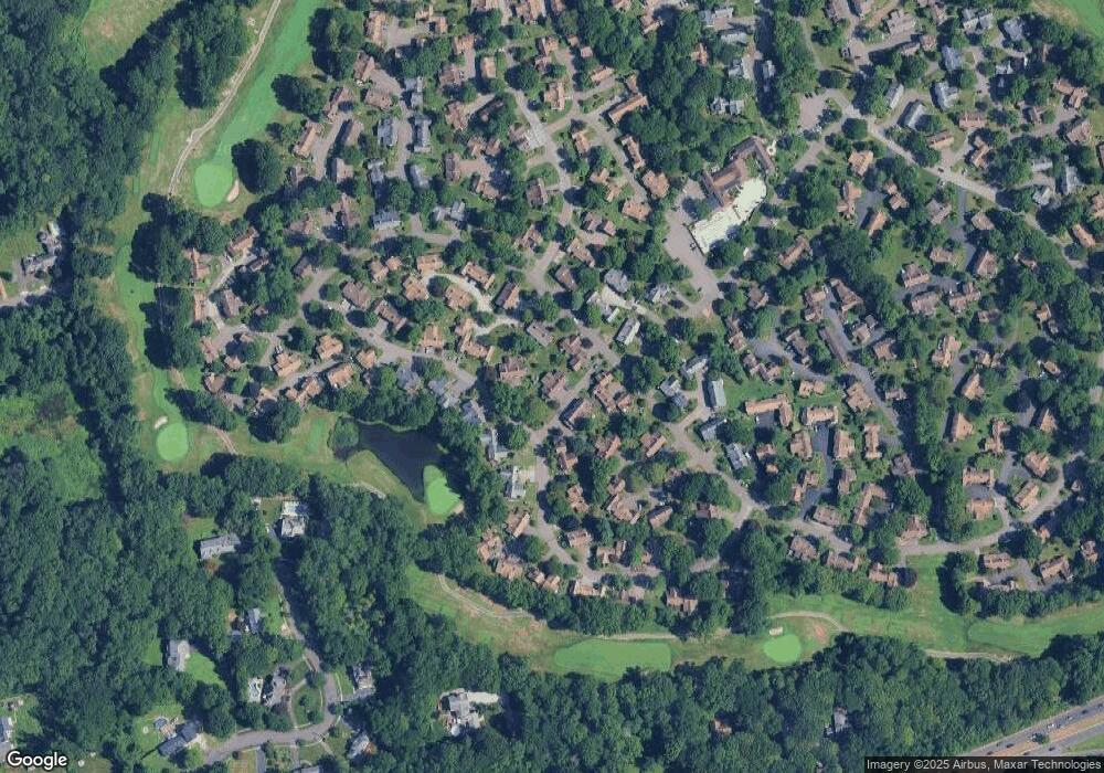
Map
Nearby Homes
- 289 Agawam Dr Unit B
- 87 Creek Ln Unit A
- 133 Bannock Ln Unit A
- 375 Piute Ln Unit A
- 375 Piute Ln Unit B
- 193 Bayfield Ln Unit B
- 195 Bayfield Ln Unit A
- 164 Bison Ln Unit A
- 35 Algonquin Ln Unit D
- 450 James Farm Rd
- 617 Cherokee Ln Unit B
- 170 Oronoque Ln Unit 85
- 170 Oronoque Ln Unit 95
- 775 James Farm Rd
- 25 Harvest Ridge Rd
- 55 Harvest Ridge Rd
- 736 Quinnipiac Ln Unit B
- 445 North Trail Unit A
- 488 Commanche Ln Unit A
- 664 Osage Ln Unit A
- 242 Running Brook Ln Unit B
- 274 Running Brook Ln Unit B
- 274 Running Brook Ln Unit A
- 274 Running Brook Ln
- 273 Running Brook Ln
- 275B South Trail
- 298 South Trail Unit B
- 271 Baton Ln
- 298 Baton Ln
- 298 South Trail Unit 298 B
- 271 Baton Ln Unit C
- 275 South Trail Unit D
- 275 South Trail Unit B
- 275 South Trail Unit A
- 286 Agawam Dr Unit 286A
- 286 Agawam Dr Unit B
- 241 South Trail Unit B
- 241 South Trail Unit A