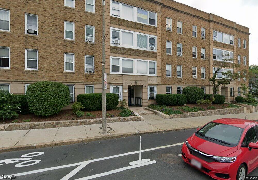
242 S Huntington Ave Unit 1 Jamaica Plain, MA 02130
Jamaica Plain NeighborhoodEstimated Value: $488,000 - $522,000
2
Beds
1
Bath
860
Sq Ft
$587/Sq Ft
Est. Value
About This Home
This home is located at 242 S Huntington Ave Unit 1, Jamaica Plain, MA 02130 and is currently estimated at $505,000, approximately $587 per square foot. 242 S Huntington Ave Unit 1 is a home located in Suffolk County with nearby schools including Roxbury Preparatory Charter School and Nativity Preparatory School.
Ownership History
Date
Name
Owned For
Owner Type
Purchase Details
Closed on
Jul 24, 2012
Sold by
Albert Robert I
Bought by
Dylan Rt
Current Estimated Value
Purchase Details
Closed on
Apr 10, 1987
Sold by
So Huntingtn Cts Rt
Bought by
Albert R I
Home Financials for this Owner
Home Financials are based on the most recent Mortgage that was taken out on this home.
Original Mortgage
$59,600
Interest Rate
9.02%
Mortgage Type
Purchase Money Mortgage
Create a Home Valuation Report for This Property
The Home Valuation Report is an in-depth analysis detailing your home's value as well as a comparison with similar homes in the area
Home Values in the Area
Average Home Value in this Area
Purchase History
| Date | Buyer | Sale Price | Title Company |
|---|---|---|---|
| Dylan Rt | -- | -- | |
| Dylan Rt | -- | -- | |
| Albert R I | $85,284 | -- |
Source: Public Records
Mortgage History
| Date | Status | Borrower | Loan Amount |
|---|---|---|---|
| Previous Owner | Albert R I | $59,600 |
Source: Public Records
Tax History Compared to Growth
Tax History
| Year | Tax Paid | Tax Assessment Tax Assessment Total Assessment is a certain percentage of the fair market value that is determined by local assessors to be the total taxable value of land and additions on the property. | Land | Improvement |
|---|---|---|---|---|
| 2025 | $5,026 | $434,000 | $0 | $434,000 |
| 2024 | $5,157 | $473,100 | $0 | $473,100 |
| 2023 | $4,931 | $459,100 | $0 | $459,100 |
| 2022 | $4,757 | $437,200 | $0 | $437,200 |
| 2021 | $4,665 | $437,200 | $0 | $437,200 |
| 2020 | $4,008 | $379,500 | $0 | $379,500 |
| 2019 | $3,703 | $351,300 | $0 | $351,300 |
| 2018 | $3,410 | $325,400 | $0 | $325,400 |
| 2017 | $3,219 | $304,000 | $0 | $304,000 |
| 2016 | $3,097 | $281,500 | $0 | $281,500 |
| 2015 | $2,856 | $235,800 | $0 | $235,800 |
| 2014 | $2,719 | $216,100 | $0 | $216,100 |
Source: Public Records
Map
Nearby Homes
- 33 Evergreen St Unit 1
- 31 Evergreen St Unit 1
- 90 Bynner St Unit 7
- 24 Evergreen St Unit 2
- 343 S Huntington Ave Unit 7
- 3 Kenney St Unit 2
- 24 Castleton St Unit C
- 70 Day St Unit 2
- 70 Day St
- 70 Day St Unit 1
- 10 Bynner St
- 12 Zamora St
- 251 Heath St Unit 501
- 92 Lawn St Unit 7-160
- 60 Glen Rd Unit 101
- 60 Glen Rd Unit 206
- 81 Glen Rd Unit S2
- 111 Perkins St Unit 152
- 111 Perkins St Unit 108
- 68 Perkins St Unit 1
- 242 S Huntington Ave Unit 14
- 242 S Huntington Ave Unit 12A
- 242 S Huntington Ave Unit 12
- 242 S Huntington Ave Unit 11
- 242 S Huntington Ave Unit 10
- 242 S Huntington Ave Unit 9
- 242 S Huntington Ave Unit 8
- 242 S Huntington Ave Unit 7
- 242 S Huntington Ave Unit 6
- 242 S Huntington Ave Unit 5
- 242 S Huntington Ave Unit 4
- 242 S Huntington Ave Unit 3
- 242 S Huntington Ave Unit 2
- 242 S Huntington Ave Unit 12-13
- 242 S Huntington Ave Unit 13
- 242 S Huntington Ave Unit 3 3
- 242 S Huntington Ave Unit 11,242
- 242 S Huntington Ave Unit 8, 242
- 246 S Huntington Ave Unit 9
- 246 S Huntington Ave Unit 12A