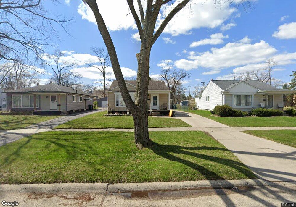
242 S Manitou Ave Clawson, MI 48017
Estimated Value: $267,000 - $321,000
3
Beds
1
Bath
1,069
Sq Ft
$274/Sq Ft
Est. Value
About This Home
This home is located at 242 S Manitou Ave, Clawson, MI 48017 and is currently estimated at $293,377, approximately $274 per square foot. 242 S Manitou Ave is a home located in Oakland County with nearby schools including Clawson High School, Japhet School, and Guardian Angels School.
Ownership History
Date
Name
Owned For
Owner Type
Purchase Details
Closed on
Nov 22, 2006
Sold by
Perkins Mildred Annette and Clubb Diane
Bought by
Roffe Angela D and Hamilton Nicholas M
Current Estimated Value
Create a Home Valuation Report for This Property
The Home Valuation Report is an in-depth analysis detailing your home's value as well as a comparison with similar homes in the area
Home Values in the Area
Average Home Value in this Area
Purchase History
| Date | Buyer | Sale Price | Title Company |
|---|---|---|---|
| Roffe Angela D | $142,000 | Enterprise Title |
Source: Public Records
Tax History Compared to Growth
Tax History
| Year | Tax Paid | Tax Assessment Tax Assessment Total Assessment is a certain percentage of the fair market value that is determined by local assessors to be the total taxable value of land and additions on the property. | Land | Improvement |
|---|---|---|---|---|
| 2024 | $2,892 | $119,980 | $0 | $0 |
| 2023 | $2,773 | $110,020 | $0 | $0 |
| 2022 | $2,795 | $101,990 | $0 | $0 |
| 2021 | $2,738 | $95,660 | $0 | $0 |
| 2020 | $2,653 | $89,510 | $0 | $0 |
| 2019 | $2,741 | $85,590 | $0 | $0 |
| 2018 | $2,721 | $79,310 | $0 | $0 |
| 2017 | $2,705 | $76,270 | $0 | $0 |
| 2016 | $2,742 | $70,950 | $0 | $0 |
| 2015 | -- | $65,490 | $0 | $0 |
| 2014 | -- | $57,400 | $0 | $0 |
| 2011 | -- | $51,980 | $0 | $0 |
Source: Public Records
Map
Nearby Homes
- 406 S Webik Ave
- 1807 Samoset Rd
- 4345 Crooks Rd Unit 24
- 206 Kinross Ave
- 4909 Crooks Rd Unit C7
- 4909 Crooks Rd Unit E8
- 4909 Crooks Rd Unit 4
- 1502 Normandy Rd Unit 113
- 4921 Crooks Rd Unit M-10
- 28 Nahma Ave
- 4921 N Crooks Rd Unit N-10
- 4227 Crooks Rd
- 531 N Manitou Ave
- 5025 Crooks Rd Unit 42
- 308 W Tacoma St
- 678 Shenandoah Dr
- 1823 Torquay Ave
- 4101 Devon Rd
- 851 N Webik Ave
- 253 Massoit St
- 232 S Manitou Ave
- 250 S Manitou Ave
- 260 S Manitou Ave
- 249 S Chocolay Ave
- 312 S Manitou Ave
- 237 S Chocolay Ave
- 220 S Manitou Ave
- 259 S Chocolay Ave
- 210 S Manitou Ave
- 241 S Manitou Ave
- 309 S Chocolay Ave
- 219 S Chocolay Ave
- 231 S Manitou Ave
- 332 S Manitou Ave
- 321 S Chocolay Ave
- 259 S Manitou Ave
- 219 S Manitou Ave
- 200 S Manitou Ave
- 311 S Manitou Ave
- 321 S Manitou Ave