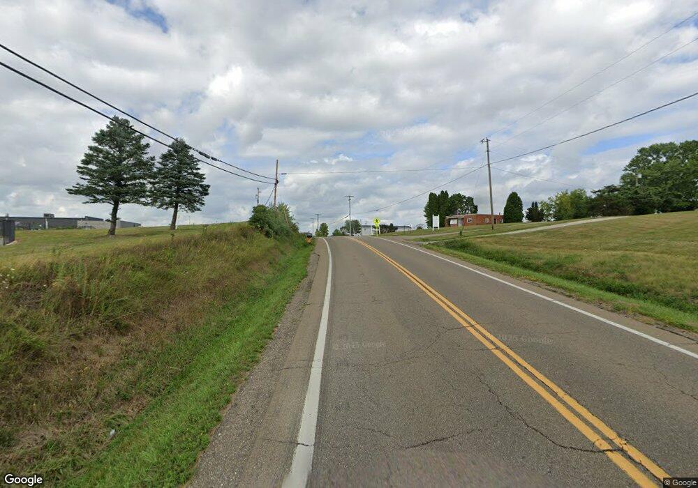
242 Scio Rd SE Carrollton, OH 44615
Estimated Value: $264,564 - $378,000
4
Beds
3
Baths
1,950
Sq Ft
$162/Sq Ft
Est. Value
About This Home
This home is located at 242 Scio Rd SE, Carrollton, OH 44615 and is currently estimated at $316,141, approximately $162 per square foot. 242 Scio Rd SE is a home with nearby schools including Carrollton High School and Carroll County Christian Academy.
Ownership History
Date
Name
Owned For
Owner Type
Purchase Details
Closed on
Mar 1, 2001
Bought by
Rinkes Jonathan J and Rinkes Rach
Current Estimated Value
Create a Home Valuation Report for This Property
The Home Valuation Report is an in-depth analysis detailing your home's value as well as a comparison with similar homes in the area
Home Values in the Area
Average Home Value in this Area
Purchase History
| Date | Buyer | Sale Price | Title Company |
|---|---|---|---|
| Rinkes Jonathan J | $93,000 | -- |
Source: Public Records
Tax History Compared to Growth
Tax History
| Year | Tax Paid | Tax Assessment Tax Assessment Total Assessment is a certain percentage of the fair market value that is determined by local assessors to be the total taxable value of land and additions on the property. | Land | Improvement |
|---|---|---|---|---|
| 2024 | $2,365 | $74,630 | $6,760 | $67,870 |
| 2023 | $2,348 | $74,630 | $6,760 | $67,870 |
| 2022 | $2,310 | $61,930 | $5,610 | $56,320 |
| 2021 | $1,952 | $61,930 | $5,610 | $56,320 |
| 2020 | $1,847 | $61,930 | $5,610 | $56,320 |
| 2019 | $1,864 | $61,929 | $5,607 | $56,322 |
| 2018 | $1,574 | $50,800 | $5,730 | $45,070 |
| 2017 | $1,559 | $50,800 | $5,730 | $45,070 |
| 2016 | $1,544 | $46,610 | $5,260 | $41,350 |
| 2015 | $1,439 | $46,610 | $5,260 | $41,350 |
| 2014 | $1,440 | $46,610 | $5,260 | $41,350 |
| 2013 | $1,426 | $46,610 | $5,260 | $41,350 |
Source: Public Records
Map
Nearby Homes
- 238 High St SW Unit 3A
- 208 2nd St SW Unit 5
- 819 Courtview Dr SW Unit 81
- 307 Lincoln Ave NW Unit 36
- 928 Overlook Ln NE
- 615 Longhorn St NW Unit 20B
- 0 Mayham Rd NE
- 1344 Meadowbrook Ln NE Unit 82
- 2081 Antigua Rd SW Unit 17
- 1188 Brenner Rd NE Unit 33A
- 144 Arrow Rd SW Unit 19
- 2245 Scroll Rd SW Unit 17
- 1121 Center St SW
- 121 Waynesburg Rd NW Unit 4A
- 3145 Steubenville Rd SE Unit 16
- 3044 Jasmine Rd NW Unit 11
- 2081 Waynesburg Rd NW Unit 16
- 5140 Pinto Rd SE
- 2173 Arrow Rd NW Unit 22
- 0 Kensington Rd NE Unit 5168580
- 248 Scio Rd SE
- 236 Scio Rd SE Unit 1B
- 236 Scio Rd SE Unit 1
- 268 Scio Rd SE
- 268 Scio Rd SE Unit 1
- 280 Scio Rd SE
- 216 Scio Rd SE
- 1004 Scio Rd SW
- 1004 Scio Rd SW Unit 6
- 192 Scio Rd SE
- * Scio Rd
- 1036 Scio Rd SW Unit 6
- 182 Scio Rd SE Unit JJ
- 151 Scio Rd SE
- 149 Scio Rd SE Unit 1A
- 147 Scio Rd SE
- 301 Industrial Dr SW
- 145 Scio Rd SE Unit 1A
- 130 Scio Rd SE
- 1065 Scio Rd SW Unit 6
