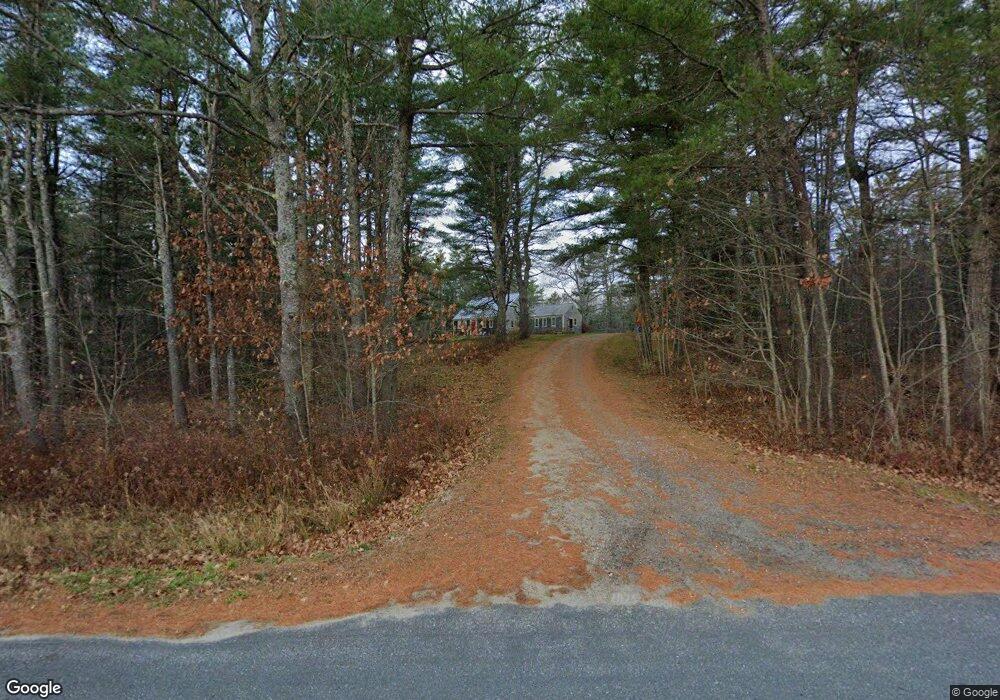
242 Simpsons Point Rd Brunswick, ME 04011
Estimated Value: $717,000 - $939,000
3
Beds
2
Baths
2,085
Sq Ft
$389/Sq Ft
Est. Value
About This Home
This home is located at 242 Simpsons Point Rd, Brunswick, ME 04011 and is currently estimated at $810,814, approximately $388 per square foot. 242 Simpsons Point Rd is a home located in Cumberland County with nearby schools including Priest Elementary-Middle School, Kate Furbish Elementary School, and Brunswick Jr High School.
Ownership History
Date
Name
Owned For
Owner Type
Purchase Details
Closed on
Jul 25, 2017
Sold by
Armstrong Constance E Est
Bought by
Carr Matthew P
Current Estimated Value
Home Financials for this Owner
Home Financials are based on the most recent Mortgage that was taken out on this home.
Original Mortgage
$392,000
Interest Rate
3.97%
Mortgage Type
Purchase Money Mortgage
Purchase Details
Closed on
Jun 2, 2017
Sold by
Armstrong Constance E Est
Bought by
Lori D Ballance T
Home Financials for this Owner
Home Financials are based on the most recent Mortgage that was taken out on this home.
Original Mortgage
$392,000
Interest Rate
3.97%
Mortgage Type
Purchase Money Mortgage
Purchase Details
Closed on
Apr 8, 2014
Sold by
Armstrong David G Est and Armstrong Constance E
Bought by
David G Armstrong Test Ft and Armstrong Constance E
Create a Home Valuation Report for This Property
The Home Valuation Report is an in-depth analysis detailing your home's value as well as a comparison with similar homes in the area
Home Values in the Area
Average Home Value in this Area
Purchase History
| Date | Buyer | Sale Price | Title Company |
|---|---|---|---|
| Carr Matthew P | -- | -- | |
| Lori D Ballance T | -- | -- | |
| David G Armstrong Test Ft | -- | -- |
Source: Public Records
Mortgage History
| Date | Status | Borrower | Loan Amount |
|---|---|---|---|
| Previous Owner | Lori D Ballance T | $392,000 |
Source: Public Records
Tax History Compared to Growth
Tax History
| Year | Tax Paid | Tax Assessment Tax Assessment Total Assessment is a certain percentage of the fair market value that is determined by local assessors to be the total taxable value of land and additions on the property. | Land | Improvement |
|---|---|---|---|---|
| 2024 | $8,169 | $342,500 | $129,600 | $212,900 |
| 2023 | $7,972 | $342,300 | $129,600 | $212,700 |
| 2022 | $7,299 | $336,500 | $129,600 | $206,900 |
| 2021 | $7,019 | $336,500 | $129,600 | $206,900 |
| 2020 | $6,855 | $336,500 | $129,600 | $206,900 |
| 2019 | $6,636 | $336,500 | $129,600 | $206,900 |
| 2018 | $6,367 | $336,500 | $129,600 | $206,900 |
| 2017 | $6,182 | $336,500 | $129,600 | $206,900 |
| 2016 | $6,269 | $213,600 | $55,400 | $158,200 |
| 2015 | $6,058 | $213,600 | $55,400 | $158,200 |
| 2014 | $5,853 | $213,600 | $55,400 | $158,200 |
| 2013 | $5,669 | $213,600 | $55,400 | $158,200 |
Source: Public Records
Map
Nearby Homes
- 0 Gundalo Gap Rd Unit 1638108
- 270 Harpswell Neck Rd
- 853 Mere Point Rd
- 250 Mere Point Rd
- Map 80 Lot 18-0 White Island
- 6 Chebeague Ln
- 49 Gleed Dr
- 10 Betina Ln
- 54 Linnell Cir
- 6 Melden Dr
- 0 Melden Dr
- 10 Kitt St
- 11 Elwell Ln
- 29 Elwell Ln
- 46 Blackstone Club Rd
- Lot 14 Village Cir
- 32 Village Cir
- Lot 8 Village Cir
- 23 Village Cir
- 20 Village Cir
- 266 Simpsons Point Rd
- 261 Simpsons Point Rd
- 261 Simpson's Point
- 290 Simpsons Point Rd
- 273 Simpsons Point Rd
- 306 Simpsons Point Rd
- 0 Pennell Way Unit 266889
- 0 Pennell Way Unit 1540342
- 0 Pennell Way Unit 1528611
- 27 Tidal Run Ln
- 295 Simpsons Point Rd
- 324 Simpsons Point Rd
- 46 Ocean Dr
- 22 Ocean Dr
- 24 Ocean Dr
- 33 Tidal Run Ln
- 52 Ocean Dr
- 10 Ocean View Dr
- 54 Pennell Way
- 58 Ocean Dr