242 SW 2nd St Pilot Rock, OR 97868
Estimated Value: $210,000 - $253,000
3
Beds
1
Bath
1,510
Sq Ft
$151/Sq Ft
Est. Value
About This Home
This home is located at 242 SW 2nd St, Pilot Rock, OR 97868 and is currently estimated at $228,397, approximately $151 per square foot. 242 SW 2nd St is a home with nearby schools including Pilot Rock Elementary School and Pilot Rock High School.
Create a Home Valuation Report for This Property
The Home Valuation Report is an in-depth analysis detailing your home's value as well as a comparison with similar homes in the area
Home Values in the Area
Average Home Value in this Area
Tax History Compared to Growth
Tax History
| Year | Tax Paid | Tax Assessment Tax Assessment Total Assessment is a certain percentage of the fair market value that is determined by local assessors to be the total taxable value of land and additions on the property. | Land | Improvement |
|---|---|---|---|---|
| 2024 | $1,922 | $111,330 | $27,470 | $83,860 |
| 2023 | $1,883 | $108,090 | $26,670 | $81,420 |
| 2022 | $1,788 | $104,950 | $0 | $0 |
| 2021 | $1,794 | $101,900 | $25,140 | $76,760 |
| 2020 | $1,633 | $98,940 | $24,410 | $74,530 |
| 2018 | $1,445 | $93,270 | $23,000 | $70,270 |
| 2017 | $1,440 | $90,880 | $15,250 | $75,630 |
| 2016 | $1,465 | $88,240 | $14,810 | $73,430 |
| 2015 | $1,440 | $80,760 | $13,550 | $67,210 |
| 2014 | $1,378 | $80,760 | $13,550 | $67,210 |
Source: Public Records
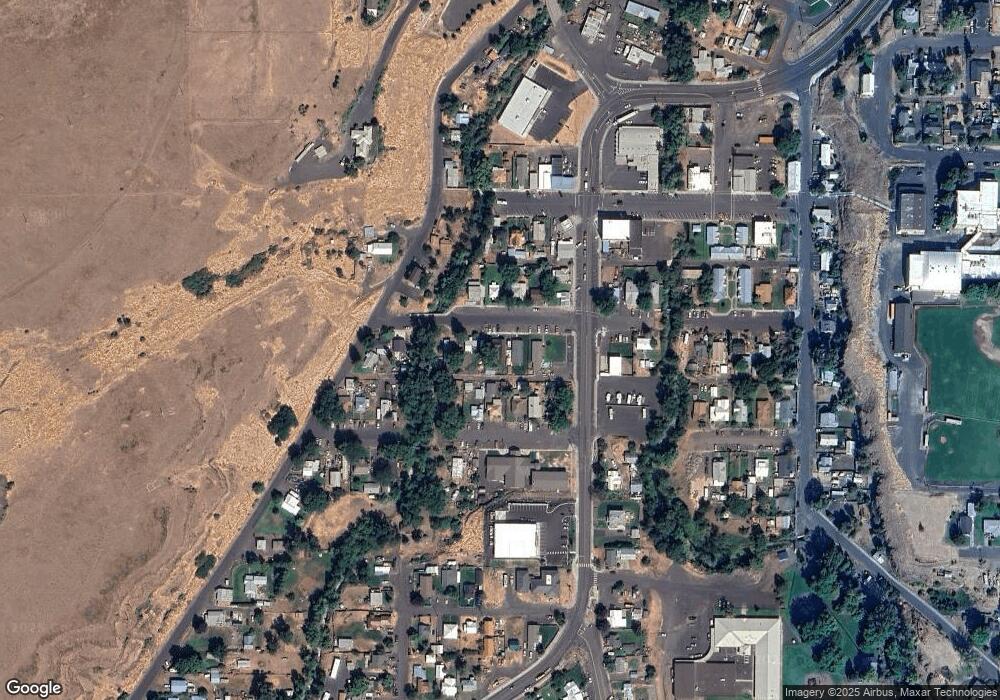
Map
Nearby Homes
- 261 SW 2nd St
- 520 NE 4th St
- 706 NE Gumwood St
- 44743 McKay Creek Rd
- 70349 Lakeside Rd
- 63615 E Birch Creek Ed
- 000 Motanic Rd
- 0000 County 1031 Rd
- 71539 SW Bridle Dr
- 72062 Westfield Blvd
- 904 SW 43rd St
- 4207 SW Sheridan Ave
- 0 Mckay Dr
- 1437 SW 40th St
- 1901 SW Runnion Ln
- 1437 SW 37th St Unit 43
- 1914 SW 2nd Dr
- 1328 SW 44th St
- 0 SW 2nd St Unit 263926795
- 0 SW Quinney Ln Unit 24414661