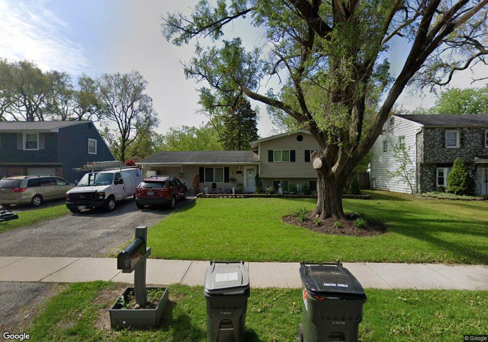
242 Thornhurst Rd Unit 6 Bolingbrook, IL 60440
East Bolingbrook NeighborhoodEstimated Value: $308,420 - $335,000
4
Beds
2
Baths
1,550
Sq Ft
$208/Sq Ft
Est. Value
About This Home
This home is located at 242 Thornhurst Rd Unit 6, Bolingbrook, IL 60440 and is currently estimated at $322,855, approximately $208 per square foot. 242 Thornhurst Rd Unit 6 is a home located in Will County with nearby schools including John R Tibbott Elementary School, Hubert H Humphrey Middle School, and Bolingbrook High School.
Ownership History
Date
Name
Owned For
Owner Type
Purchase Details
Closed on
Jun 30, 2011
Sold by
Elliott Todd R
Bought by
Sapitula Cerila S and Cruz Jesus
Current Estimated Value
Home Financials for this Owner
Home Financials are based on the most recent Mortgage that was taken out on this home.
Original Mortgage
$143,760
Outstanding Balance
$98,856
Interest Rate
4.5%
Mortgage Type
FHA
Estimated Equity
$223,999
Create a Home Valuation Report for This Property
The Home Valuation Report is an in-depth analysis detailing your home's value as well as a comparison with similar homes in the area
Home Values in the Area
Average Home Value in this Area
Purchase History
| Date | Buyer | Sale Price | Title Company |
|---|---|---|---|
| Sapitula Cerila S | $147,500 | Regent Title Ins Agency Llc |
Source: Public Records
Mortgage History
| Date | Status | Borrower | Loan Amount |
|---|---|---|---|
| Open | Sapitula Cerila S | $143,760 |
Source: Public Records
Tax History Compared to Growth
Tax History
| Year | Tax Paid | Tax Assessment Tax Assessment Total Assessment is a certain percentage of the fair market value that is determined by local assessors to be the total taxable value of land and additions on the property. | Land | Improvement |
|---|---|---|---|---|
| 2024 | $6,948 | $83,236 | $19,575 | $63,661 |
| 2023 | $6,948 | $74,893 | $17,613 | $57,280 |
| 2022 | $6,081 | $67,520 | $15,879 | $51,641 |
| 2021 | $5,752 | $63,132 | $14,847 | $48,285 |
| 2020 | $5,569 | $61,056 | $14,359 | $46,697 |
| 2019 | $5,263 | $57,008 | $13,407 | $43,601 |
| 2018 | $4,824 | $52,444 | $12,333 | $40,111 |
| 2017 | $4,581 | $49,710 | $11,690 | $38,020 |
| 2016 | $4,242 | $45,500 | $10,700 | $34,800 |
| 2015 | $3,951 | $43,700 | $10,300 | $33,400 |
| 2014 | $3,951 | $41,600 | $9,800 | $31,800 |
| 2013 | $3,951 | $43,800 | $10,300 | $33,500 |
Source: Public Records
Map
Nearby Homes
- 157 Vernon Dr Unit 6
- 304 N Pinecrest Rd
- 144 N Pinecrest Rd
- 220 N Ashbury Ave
- 101 Seabury Rd
- 520 White Oak Rd
- 338 Stafford Way
- 325 Rockhurst Rd
- 129 Oxford Rd Unit 5
- 564 White Oak Rd
- 316 Bedford Rd
- 168 Bedford Rd
- 113 Cedarwood Ave
- 308 Pacific Dr
- 219 Monterey Dr
- 220 Falcon Ridge Way
- 208 S Pinecrest Rd
- 233 Malibu Dr Unit 4
- 255 Braemar Glen
- 451 Alcester Ct
- 238 Thornhurst Rd
- 246 Thornhurst Rd
- 221 Vernon Dr
- 234 Thornhurst Rd
- 225 Vernon Dr
- 217 Vernon Dr Unit 6
- 250 Thornhurst Rd
- 213 Vernon Dr
- 241 Thornhurst Rd
- 245 Thornhurst Rd
- 237 Thornhurst Rd
- 230 Thornhurst Rd
- 254 Thornhurst Rd
- 249 Thornhurst Rd
- 233 Vernon Dr
- 233 Thornhurst Rd
- 209 Vernon Dr
- 226 Thornhurst Rd
- 253 Thornhurst Rd
- 258 Thornhurst Rd Unit 6