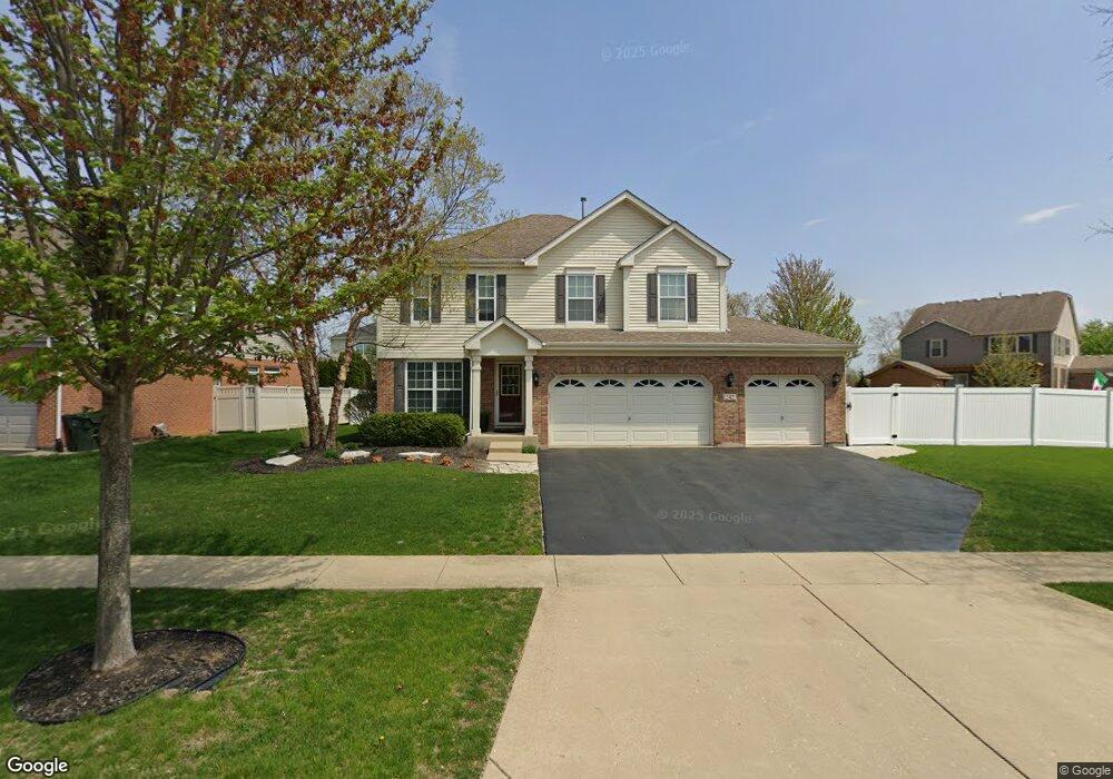
242 Tonell Ave New Lenox, IL 60451
Estimated Value: $455,033 - $613,000
--
Bed
--
Bath
--
Sq Ft
10,454
Sq Ft Lot
About This Home
This home is located at 242 Tonell Ave, New Lenox, IL 60451 and is currently estimated at $535,758. 242 Tonell Ave is a home located in Will County with nearby schools including Bentley Elementary School, Arnold J Tyler School, and Alex M Martino Jr High School.
Ownership History
Date
Name
Owned For
Owner Type
Purchase Details
Closed on
Nov 3, 2006
Sold by
Laurel Meadow Llc
Bought by
Boss Mark A and Boss Megan
Current Estimated Value
Home Financials for this Owner
Home Financials are based on the most recent Mortgage that was taken out on this home.
Original Mortgage
$261,000
Outstanding Balance
$156,113
Interest Rate
6.41%
Mortgage Type
Purchase Money Mortgage
Estimated Equity
$379,645
Create a Home Valuation Report for This Property
The Home Valuation Report is an in-depth analysis detailing your home's value as well as a comparison with similar homes in the area
Home Values in the Area
Average Home Value in this Area
Purchase History
| Date | Buyer | Sale Price | Title Company |
|---|---|---|---|
| Boss Mark A | $349,000 | First American Title Ins Co |
Source: Public Records
Mortgage History
| Date | Status | Borrower | Loan Amount |
|---|---|---|---|
| Open | Boss Mark A | $261,000 |
Source: Public Records
Tax History Compared to Growth
Tax History
| Year | Tax Paid | Tax Assessment Tax Assessment Total Assessment is a certain percentage of the fair market value that is determined by local assessors to be the total taxable value of land and additions on the property. | Land | Improvement |
|---|---|---|---|---|
| 2024 | $10,847 | $141,661 | $38,942 | $102,719 |
| 2023 | $10,847 | $129,135 | $35,499 | $93,636 |
| 2022 | $10,420 | $118,964 | $32,703 | $86,261 |
| 2021 | $9,280 | $111,882 | $30,756 | $81,126 |
| 2020 | $9,016 | $107,890 | $29,659 | $78,231 |
| 2019 | $8,630 | $104,544 | $28,739 | $75,805 |
| 2018 | $8,430 | $100,940 | $27,748 | $73,192 |
| 2017 | $8,011 | $98,038 | $26,950 | $71,088 |
| 2016 | $7,776 | $95,414 | $26,229 | $69,185 |
| 2015 | $7,491 | $92,410 | $25,403 | $67,007 |
| 2014 | $7,491 | $91,269 | $25,089 | $66,180 |
| 2013 | $7,491 | $92,499 | $25,427 | $67,072 |
Source: Public Records
Map
Nearby Homes
- 235 Roberts Rd
- 203 Tonell Ave
- 117 Walona Ave
- 920 Barnside Rd
- 328 E Lincoln Hwy
- 513 Somerset Ln
- 805 Regent St
- 1017 E Lincoln Hwy
- 718 S Prairie Rd
- 00 NE Corner Cherry Hill Road and Moss Lane Rd
- 315 S Pine St
- 125 N Anderson Rd
- 202 Hickory St
- 214 Somerset Ct
- 1125 Georgias Way
- 1139 Georgias Way
- 1193 Georgias Way
- 1212 Georgias Way
- 203 Fir St
- 1535 Glenbrooke Ln