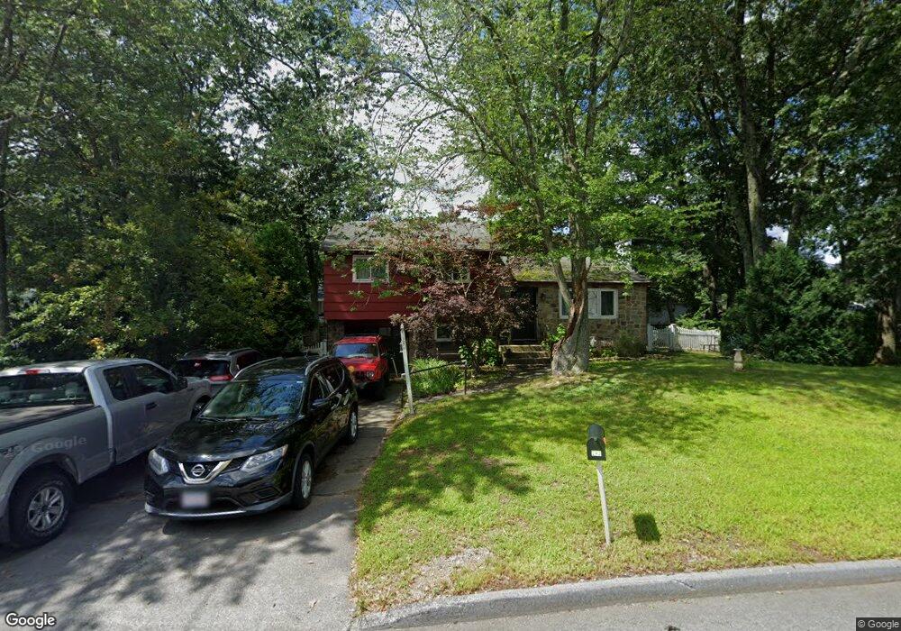
242 Wilson St Marlborough, MA 01752
Estimated Value: $523,000 - $610,000
3
Beds
2
Baths
1,050
Sq Ft
$533/Sq Ft
Est. Value
About This Home
This home is located at 242 Wilson St, Marlborough, MA 01752 and is currently estimated at $559,494, approximately $532 per square foot. 242 Wilson St is a home located in Middlesex County with nearby schools including Marlborough High School, New Covenant Christian School, and Glenhaven Academy - JRI School.
Ownership History
Date
Name
Owned For
Owner Type
Purchase Details
Closed on
Mar 14, 2011
Sold by
Power Robert S
Bought by
Marlborough City Of
Current Estimated Value
Purchase Details
Closed on
Jun 17, 2003
Sold by
Power Doris M and Power Walter S
Bought by
Power Mary Jane and Power Robert S
Home Financials for this Owner
Home Financials are based on the most recent Mortgage that was taken out on this home.
Original Mortgage
$100,000
Interest Rate
5.77%
Mortgage Type
Purchase Money Mortgage
Create a Home Valuation Report for This Property
The Home Valuation Report is an in-depth analysis detailing your home's value as well as a comparison with similar homes in the area
Home Values in the Area
Average Home Value in this Area
Purchase History
| Date | Buyer | Sale Price | Title Company |
|---|---|---|---|
| Marlborough City Of | -- | -- | |
| Power Mary Jane | $225,000 | -- |
Source: Public Records
Mortgage History
| Date | Status | Borrower | Loan Amount |
|---|---|---|---|
| Previous Owner | Power Mary Jane | $100,000 |
Source: Public Records
Tax History Compared to Growth
Tax History
| Year | Tax Paid | Tax Assessment Tax Assessment Total Assessment is a certain percentage of the fair market value that is determined by local assessors to be the total taxable value of land and additions on the property. | Land | Improvement |
|---|---|---|---|---|
| 2025 | $4,463 | $452,600 | $231,400 | $221,200 |
| 2024 | $4,282 | $418,200 | $210,400 | $207,800 |
| 2023 | $4,491 | $389,200 | $169,200 | $220,000 |
| 2022 | $4,449 | $339,100 | $161,200 | $177,900 |
| 2021 | $4,420 | $320,300 | $134,300 | $186,000 |
| 2020 | $4,304 | $303,500 | $127,900 | $175,600 |
| 2019 | $4,180 | $297,100 | $125,400 | $171,700 |
| 2018 | $4,246 | $290,200 | $100,000 | $190,200 |
| 2017 | $3,588 | $232,200 | $99,100 | $133,100 |
| 2016 | $3,336 | $217,500 | $99,100 | $118,400 |
| 2015 | $3,518 | $223,200 | $106,500 | $116,700 |
Source: Public Records
Map
Nearby Homes
- 114 Linda Cir
- 109 Westminster Dr Unit 109
- 624 Boston Post Rd E Unit 7
- 608 Boston Post Rd E Unit 11
- 596 Boston Post Rd E Unit 13
- 596 Boston Post Rd E
- 688 Boston Post Rd E Unit 202
- 688 Boston Post Rd E Unit 304
- 688 Boston Post Rd E Unit 100
- 688 Boston Post Rd E Unit 324
- 688 Boston Post Rd E Unit 228
- 23 Victoria Ln
- 271 Boston Post Rd E Unit 4
- 38 Collins Dr
- 261 Boston Post Rd E Unit 1
- 10 Eldorado Dr
- 32 Ethel
- 323 Robert Rd
- 256 Robert Rd
- 17 Mcneil Cir