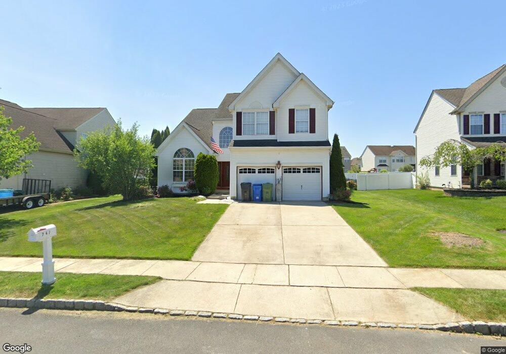
242 Windsor Dr Swedesboro, NJ 08085
Woolwich Township NeighborhoodEstimated Value: $572,184 - $608,000
--
Bed
--
Bath
2,960
Sq Ft
$199/Sq Ft
Est. Value
About This Home
This home is located at 242 Windsor Dr, Swedesboro, NJ 08085 and is currently estimated at $589,796, approximately $199 per square foot. 242 Windsor Dr is a home located in Gloucester County with nearby schools including Margaret C Clifford School, Gov. Charles C. Stratton School, and Gen. Charles G. Harker School.
Ownership History
Date
Name
Owned For
Owner Type
Purchase Details
Closed on
Jun 16, 2005
Sold by
Westbrook At Weatherby Llc
Bought by
Burns Robert Michael and Burns Margaret Catherine
Current Estimated Value
Home Financials for this Owner
Home Financials are based on the most recent Mortgage that was taken out on this home.
Original Mortgage
$280,000
Outstanding Balance
$146,365
Interest Rate
5.78%
Mortgage Type
Fannie Mae Freddie Mac
Estimated Equity
$443,431
Create a Home Valuation Report for This Property
The Home Valuation Report is an in-depth analysis detailing your home's value as well as a comparison with similar homes in the area
Home Values in the Area
Average Home Value in this Area
Purchase History
| Date | Buyer | Sale Price | Title Company |
|---|---|---|---|
| Burns Robert Michael | $325,585 | -- |
Source: Public Records
Mortgage History
| Date | Status | Borrower | Loan Amount |
|---|---|---|---|
| Open | Burns Robert Michael | $280,000 |
Source: Public Records
Tax History Compared to Growth
Tax History
| Year | Tax Paid | Tax Assessment Tax Assessment Total Assessment is a certain percentage of the fair market value that is determined by local assessors to be the total taxable value of land and additions on the property. | Land | Improvement |
|---|---|---|---|---|
| 2025 | $12,213 | $363,700 | $66,800 | $296,900 |
| 2024 | $11,998 | $363,700 | $66,800 | $296,900 |
| 2023 | $11,998 | $363,700 | $66,800 | $296,900 |
| 2022 | $12,246 | $363,700 | $66,800 | $296,900 |
| 2021 | $11,974 | $348,500 | $66,800 | $281,700 |
| 2020 | $11,957 | $348,500 | $66,800 | $281,700 |
| 2019 | $12,568 | $334,600 | $61,800 | $272,800 |
| 2018 | $12,517 | $334,600 | $61,800 | $272,800 |
| 2017 | $12,273 | $334,600 | $61,800 | $272,800 |
| 2016 | $12,153 | $334,600 | $61,800 | $272,800 |
| 2015 | $11,875 | $334,600 | $61,800 | $272,800 |
| 2014 | $11,283 | $334,600 | $61,800 | $272,800 |
Source: Public Records
Map
Nearby Homes
- 209 Windsor Dr
- 229 Westbrook Dr
- 120 Edward Dr
- 9 Brattleboro Rd
- 23 Adams St
- 217 Spruce Trail
- 111 Peachwood Dr
- 18 Dogwood Place
- 55 Hamilton St
- 203 Amesbury Blvd
- 142 Ramona Ln
- 135 Juniper Ln
- 330 Taft Dr
- 144 Robins Run W
- 112 Carriage Ln
- 128 Robins Run W
- 364 High Hill Rd
- L 5.01 Oldmans Creek Rd
- 2157 Oldmans Creek Rd
- 2101 Oldmans Creek Rd
- 240 Windsor Dr
- 244 Windsor Dr
- 122 Devonshire Dr
- 124 Devonshire Dr
- 238 Windsor Dr
- 120 Devonshire Dr
- 246 Windsor Dr
- 118 Devonshire Dr
- 241 Windsor Dr
- 126 Devonshire Dr
- 234 Windsor Dr
- 245 Windsor Dr
- 239 Windsor Dr
- 116 Devonshire Dr
- 248 Windsor Dr
- 237 Windsor Dr
- 128 Devonshire Dr
- 247 Windsor Dr
- 108 Westminster Dr
- 235 Windsor Dr