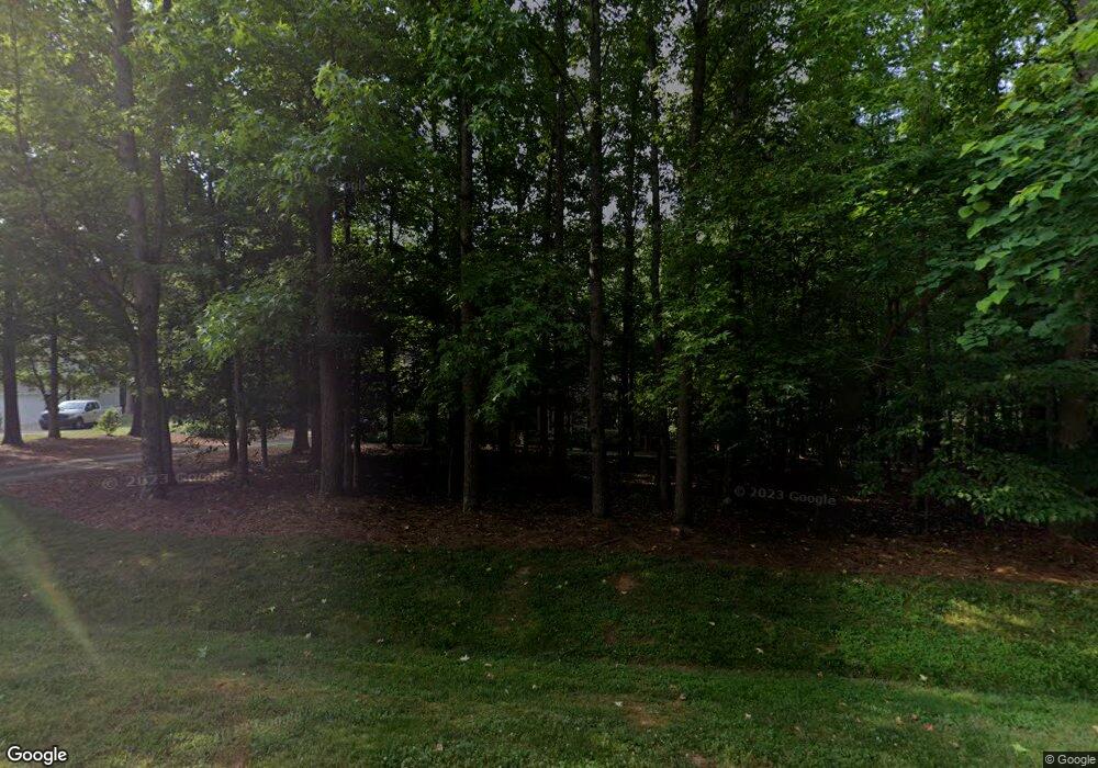
2420 Cotesworth Dr Wake Forest, NC 27587
Falls Lake NeighborhoodEstimated Value: $550,975 - $606,000
4
Beds
3
Baths
2,268
Sq Ft
$256/Sq Ft
Est. Value
About This Home
This home is located at 2420 Cotesworth Dr, Wake Forest, NC 27587 and is currently estimated at $579,744, approximately $255 per square foot. 2420 Cotesworth Dr is a home located in Wake County with nearby schools including North Forest Pines Elementary School, Wake Forest-Rolesville Middle School, and Wake Forest High School.
Ownership History
Date
Name
Owned For
Owner Type
Purchase Details
Closed on
Jul 29, 2004
Sold by
Sirva Relocation Llc
Bought by
Lowery Kent Robert and Lowery Nancy Ann
Current Estimated Value
Home Financials for this Owner
Home Financials are based on the most recent Mortgage that was taken out on this home.
Original Mortgage
$125,000
Outstanding Balance
$56,242
Interest Rate
4.62%
Mortgage Type
Purchase Money Mortgage
Estimated Equity
$523,502
Create a Home Valuation Report for This Property
The Home Valuation Report is an in-depth analysis detailing your home's value as well as a comparison with similar homes in the area
Home Values in the Area
Average Home Value in this Area
Purchase History
| Date | Buyer | Sale Price | Title Company |
|---|---|---|---|
| Lowery Kent Robert | $260,000 | -- | |
| Sirva Relocation Llc | $260,000 | -- |
Source: Public Records
Mortgage History
| Date | Status | Borrower | Loan Amount |
|---|---|---|---|
| Open | Sirva Relocation Llc | $125,000 |
Source: Public Records
Tax History Compared to Growth
Tax History
| Year | Tax Paid | Tax Assessment Tax Assessment Total Assessment is a certain percentage of the fair market value that is determined by local assessors to be the total taxable value of land and additions on the property. | Land | Improvement |
|---|---|---|---|---|
| 2025 | $3,169 | $492,413 | $110,000 | $382,413 |
| 2024 | $3,078 | $492,413 | $110,000 | $382,413 |
| 2023 | $2,734 | $348,120 | $77,000 | $271,120 |
| 2022 | $2,534 | $348,120 | $77,000 | $271,120 |
| 2021 | $2,466 | $348,120 | $77,000 | $271,120 |
| 2020 | $2,426 | $348,120 | $77,000 | $271,120 |
| 2019 | $2,419 | $293,744 | $70,000 | $223,744 |
| 2018 | $2,224 | $293,744 | $70,000 | $223,744 |
| 2017 | $2,109 | $293,744 | $70,000 | $223,744 |
| 2016 | $2,066 | $293,744 | $70,000 | $223,744 |
| 2015 | $2,060 | $293,776 | $70,000 | $223,776 |
| 2014 | $1,953 | $293,776 | $70,000 | $223,776 |
Source: Public Records
Map
Nearby Homes
- 8912 Thompson Mill Rd
- 8916 Thompson Mill Rd
- 8920 Thompson Mill Rd
- 8133 Holly Forest Rd
- 3217 Donlin Dr
- 145 Traylee Dr
- 2040 Pleasant Forest Way
- 145 Wiggins Rd
- 8600 Deep Elm Dr
- 2316 Blue Crab Ct
- 2312 Blue Crab Ct
- 90 Scotts Pine Cir
- 2301 Sterling Crest Dr
- 1137 Blykeford Ln
- 8704 Kimalden Ct
- 8716 Holstein Ct
- 2209 Paddstowe Main Way
- 240 Barn Hill Ln
- 7105 Anglesey Ct
- 8621 Kimillie Ct
- 2424 Cotesworth Dr
- 2412 Cotesworth Dr
- 2428 Cotesworth Dr
- 2421 Cotesworth Dr
- 8509 Darmstadt Ct
- 2425 Cotesworth Dr
- 2705 Oxford Bluff Dr
- 2413 Cotesworth Dr
- 2404 Cotesworth Dr
- 2701 Oxford Bluff Dr
- 2709 Oxford Bluff Dr
- 2429 Cotesworth Dr
- 8505 Darmstadt Ct
- 2409 Cotesworth Dr
- 2700 Oxford Bluff Dr
- 2400 Cotesworth Dr
- 8516 Darmstadt Ct
- 8508 Darmstadt Ct
- 2812 Kimmon Way
- 2812 Kimmon Way Unit (UnitID 12318258)
